
This roundup covers the main updates delivered between August and October 2026 across NextGIS Web, NextGIS Connect, NextGIS ID, NextGIS QuickMapServices, NextGIS Frontend and NextGIS Toolbox.
NextGIS Web is a powerful server for storing, managing, and publishing geospatial data. It includes built-in web maps, permission management, a data version control system, QGIS team work infrastructure and many other features.
You can now enable statistics for selected fields in a vector layer. View minimum, maximum, and sum values that respect active text, advanced, and spatial filters, making it easy to compare values across different areas.
Web maps now support vector tile basemaps. Enter the appropriate URL when creating a Basemap resource, or find a basemap using QMS search.
Forms designed for mobile applications can now be used to enter and edit data on web maps. Full form support brings the same data entry experience to mobile devices and the browser.
Configure search sources, layers, and navigation mode. Search results are now grouped by layer, and you can open a feature’s identification panel directly from the results.
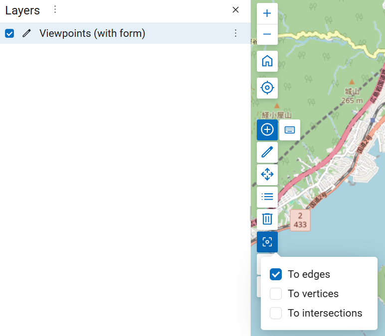
Configure snapping behavior when editing features on a web map by selecting the appropriate snapping mode.
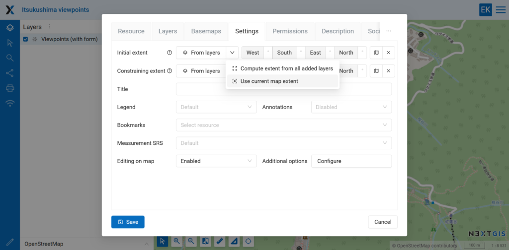
You can now set the web map extent using the current map view.
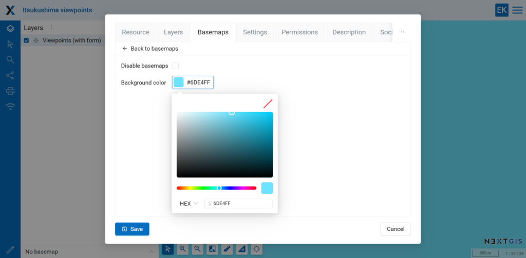
You can now customize the background color of a web map.
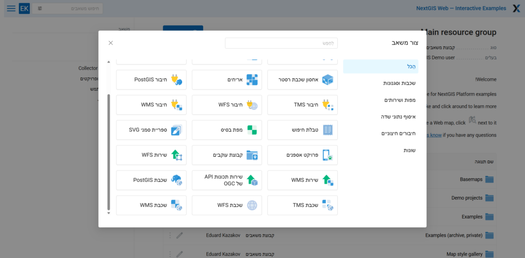
Improved right-to-left interface support for users of languages such as Arabic or Hebrew.
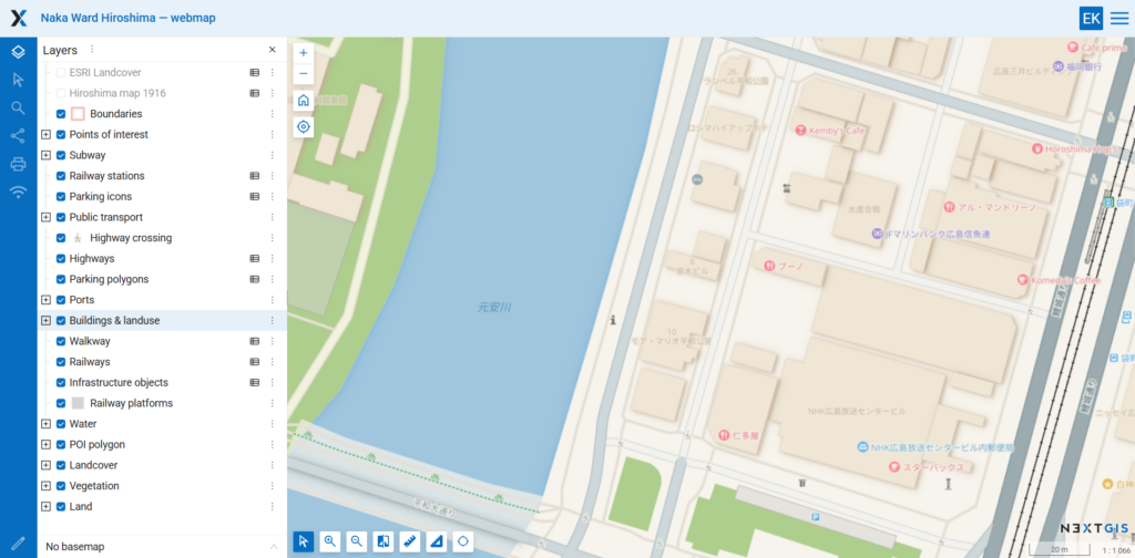
NextGIS Web now includes fonts covering writing systems from around the world, providing broader character support in map labels by default.
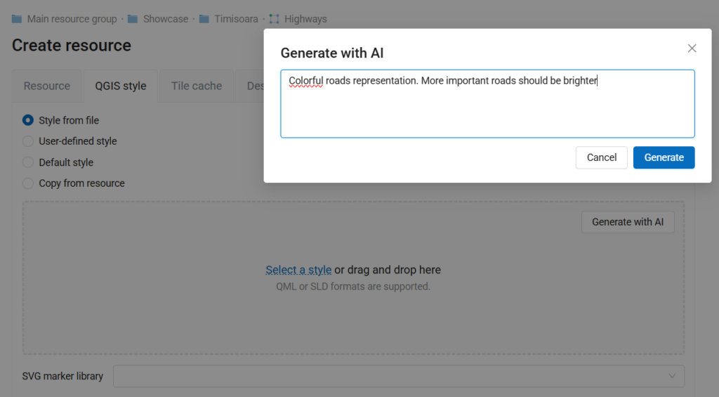
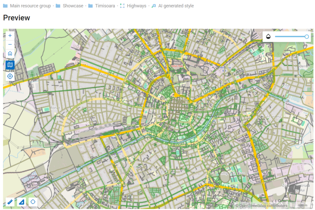
Generate styles by describing what you need in an AI prompt.
Reworked raster pixel identification to account for the current map scale.
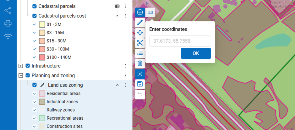
When creating features on a web map, you can now enter vertex coordinates using the keyboard.
 Experimental: point cloud storage
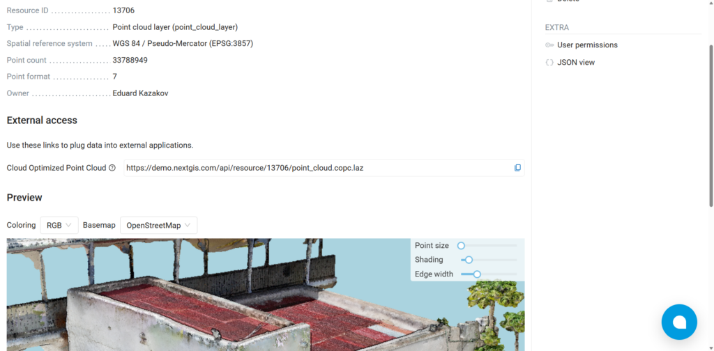
Initial point cloud support is now available. Upload and store COPC datasets in NextGIS Web, publish them through a COPC endpoint, and explore them using the built-in 3D preview. Should be activated, contact us if interested.
NextGIS Connect is the QGIS plugin that connects desktop projects to NextGIS Web. It allows users to publish QGIS projects, open Web Maps as QGIS projects, edit server-hosted layers, synchronize changes, and manage Web GIS resources without leaving QGIS.
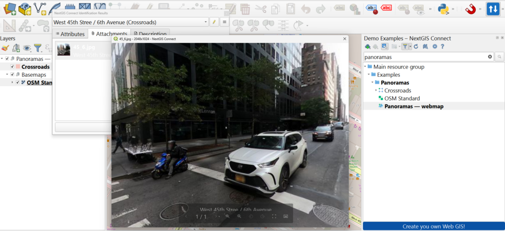
It is now possible to preview panoramas attached to NextGIS Web stored features directly from QGIS
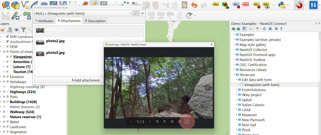
You can activate full screen mode when previewing NextGIS Web stored photos and panoramas in QGIS
NextGIS Toolbox is the ever-growing collection of tools for online geodata processing. Tools can be launched in a browser via a form or via an API.
Toolbox is available in the cloud for all users and can be deployed as an on-premise server.
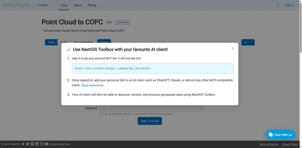
You can use NextGIS Toolbox tools in AI clients. Follow instructions to set up the environment: https://docs.nextgis.com/docs_toolbox/source/mcp.html
QuickMapServices (QMS) is an open catalog of geospatial services – basemaps, satellite imagery, government mapping layers, and more. Developed and maintained by NextGIS, the QMS plugin for QGIS has been downloaded more than 12 million times. The catalog is also accessible through NextGIS Mobile and a public API.
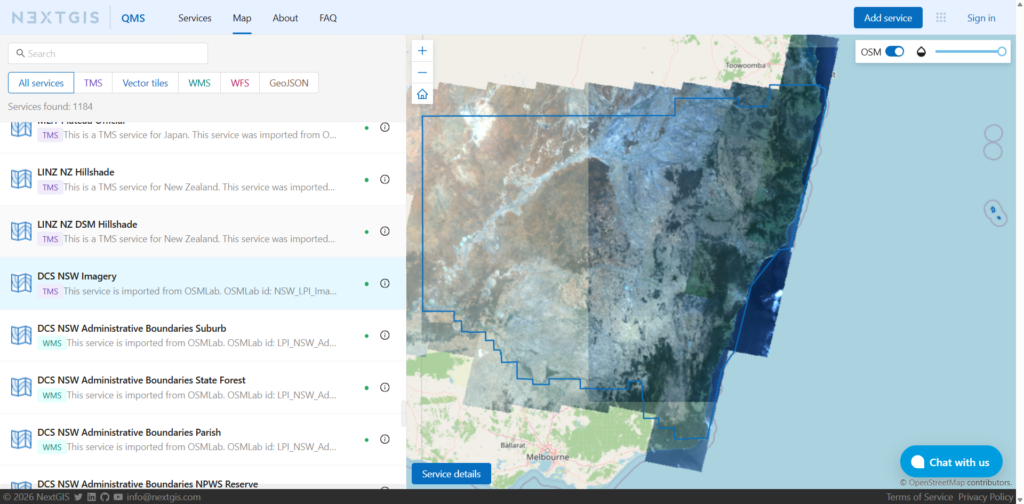
You can now explore QMS services using interactive map catalog view
Explore the map view: https://qms.nextgis.com/map
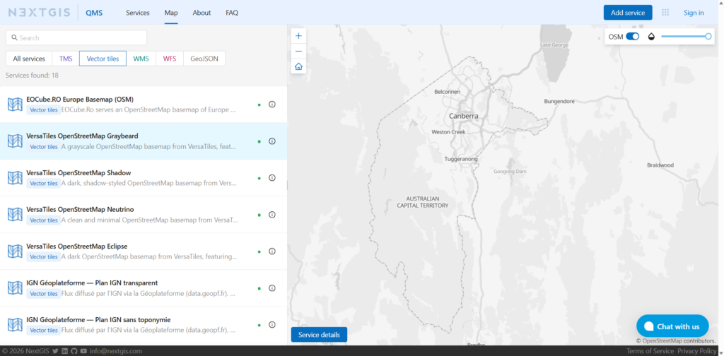
Vector tile services can be now added to QMS catalog, and are accesible from anywhere – web catalog, API, QGIS plugin
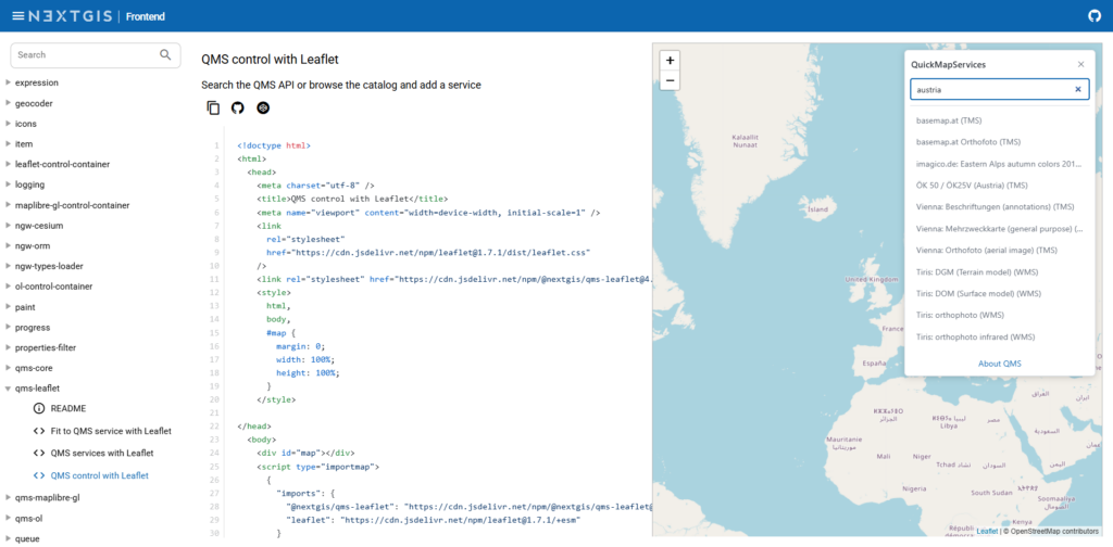
Easy-to-use components for web developers, allowing to embed QMS catalog and search to your web map.
Discover: https://code.nextgis.com
NextGIS ID is the user management system for the NextGIS infrastructure. my.nextgis.com is the cloud implementation of NextGIS ID.
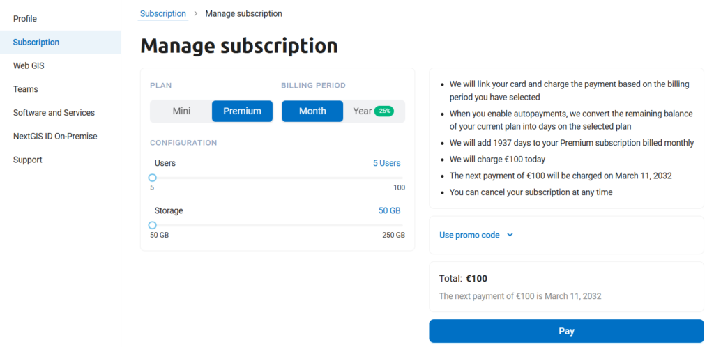
When subscribing to Premium, you can easily choose the number of users and amount of storage you need.
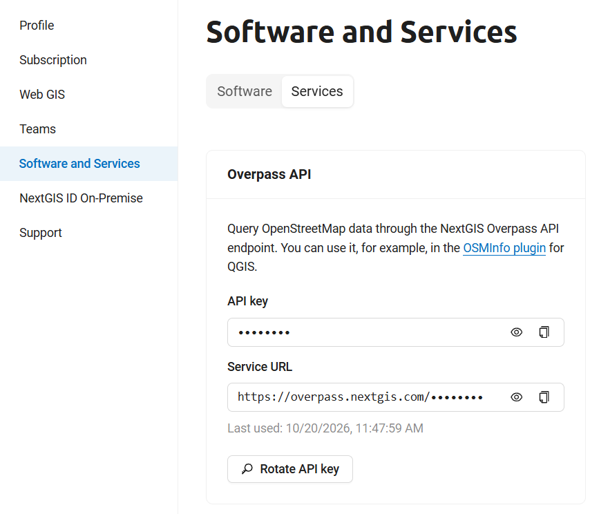
Our Overpass API provides access to OpenStreetMap data. You can now manage your API key in your account.
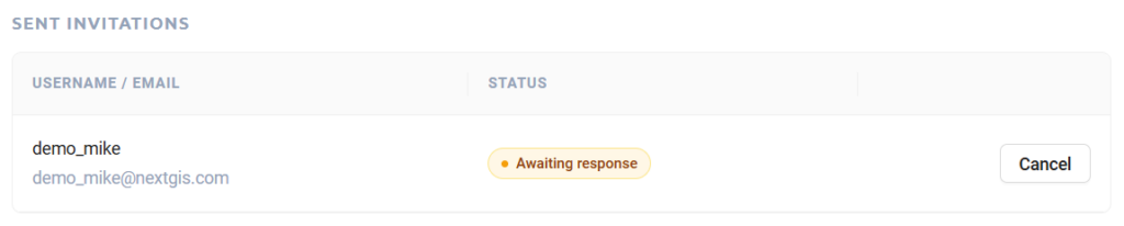
We’ve redesigned the process of adding users to your Premium team. Users now receive an email invitation with options to accept or decline.
GIS Frontend is a collection of JavaScript libraries for building custom web mapping applications with NextGIS Web
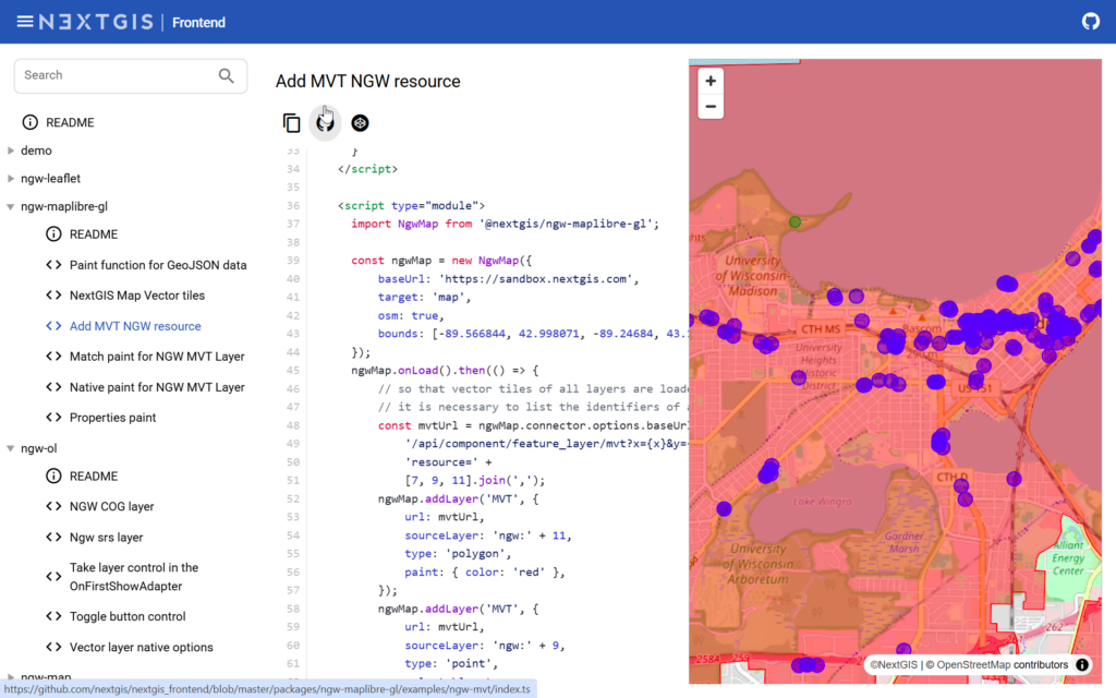
Version 4 brings updated support for the NextGIS Web API, more consistent behavior across Leaflet, OpenLayers, and MapLibre GL JS, improved React integration, and new libraries for working with QuickMapServices.
We have also significantly updated the examples and documentation to better reflect modern web development workflows.
Learn more: https://nextgis.com/blog/nextgis-frontend-4/
Documentation: https://github.com/nextgis/next gis_frontend/releases/tag/v4.0.0
Black Friday
50% off NextGIS spatial data and cloud subscriptions. Follow us on LinkedIn to be notified when the promotion starts.


