NextGIS Web:
On-Premise GIS for Your Organization
Scale your geospatial operations with enterprise-grade data management, team collaboration, and system integration—all deployed securely within your infrastructure.
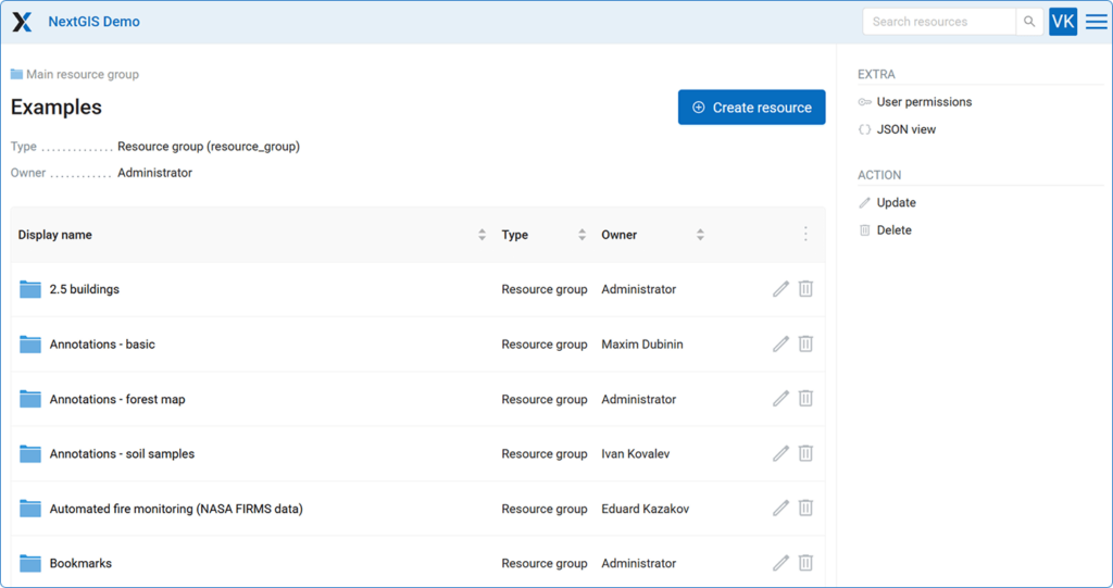
GIS teams collaboration
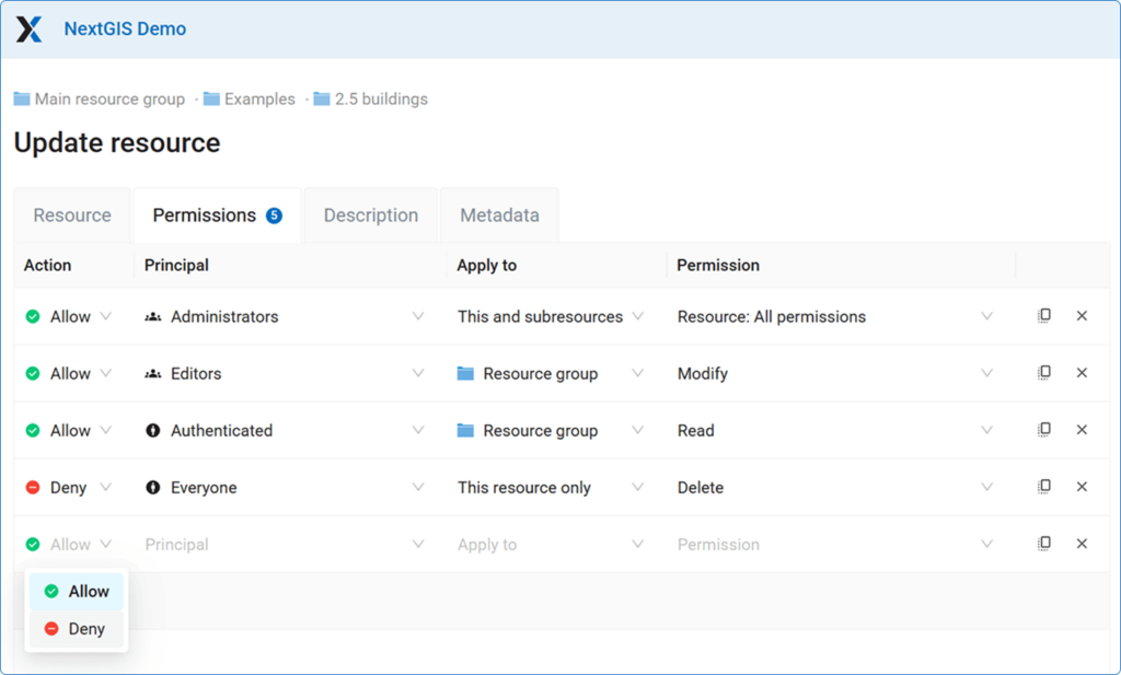
Enterprise data security
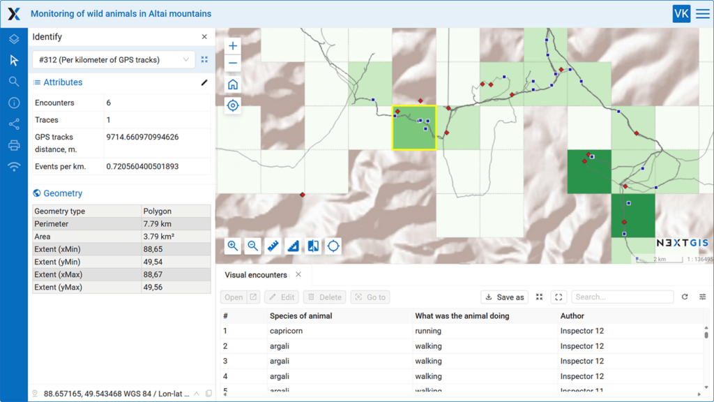
System integration
Enterprise Data Security
Keep sensitive geospatial data within your infrastructure. Deploy on your Linux servers with complete control over access, backups, and compliance requirements.
Centralized Team Management
Support 50+ users with granular permission controls and protection against accidental changes. Create flexible workflows to streamline collaboration across departments. Scale user capacity as your organization grows.

Implement role-based permissions at the dataset and layer. Configure read-only access for stakeholders, full editing rights for field teams, and administrative control for GIS managers – all from a single interface.

Professional Web Mapping Interface
Build interactive maps your team can actually use. Built-in tools for object identification, data tables, search functionality, and print layout design.
- Layer management with legends
- Point-and-click object inspection with complete attribute data
- Advanced search and filtering across datasets
- Professional print layout controls
- Precision measurement tools

Flexible Data Management
Handle multiple data formats without wasting time on conversion. Direct support for GeoTIFF (Cloud-Optimized GeoTIFF), GeoPackage, ESRI Shapefile, MapInfo, and standard OGC services (WMS, WFS, TMS).
Upload, organize, and share geospatial datasets through an intuitive administrative interface designed for technical teams.
Auxiliary tools
When you purchase NextGIS Web, you also get access to powerful auxiliary tools for:
- Field data collection and location monitoring
- Fire monitoring
- Seamless integration with QGIS desktop software
System Integration Capabilities
- Enterprise Databases – Native PostgreSQL support for high-performance spatial data storage.
- Industrial Systems – SCADA integrations for placing operations data onto geographic contexts and monitoring assets and infrastructure.
- FIRMS Fire Monitoring – Pre-built integration for real-time fire data overlay.
- Custom Development – Comprehensive REST API documentation enables integration with any other enterprise software.
Deployment and OS
- Deployed with Docker
- Linux-based OS:
- Ubuntu
- Debian
- CentOS Stream
Pricing and Support
First year: from €3,500/year
Includes setup assistance and support
Subsequent years: from €1,750/year
Ongoing support and updates
What’s Included:
- Integration assistance
- Professional deployment and configuration
- Priority support channel
- Software updates and security patches
Ready to discuss your requirements?
Email us at sales@nextgis.com for a quick response.


