
NextGIS took part as a sponsor in the XIII Congress of Cartographic Science and IV International Virtual Congress, held in Buenos Aires, Argentina, and online on 6-8 October 2026, under the theme “Geospatial Analysis, AI and Cartography for Territorial Management.” The event was organized by the Argentine Cartographic Center (CAC) and Argentina’s National Geographic Institute; it brought together more than 200 participants from Argentina, Brazil, Bolivia, Colombia, Ecuador, Spain, Guatemala, Honduras, Mexico, Panama, Paraguay, Peru, Puerto Rico, Uruguay and Venezuela.
On Wednesday, 7 October, at 13:00 UTC−3, the NextGIS team gave a live presentation and demonstration titled “NextGIS Web: A Solution for Integrated Territory Management – Storage, Collaborative Work and Geospatial Data Analysis.” The presentation showed how the NextGIS open-source ecosystem helps QGIS teams scale to large collaborative projects, deploy spatial data infrastructures and turn smartphones into field data collectors.
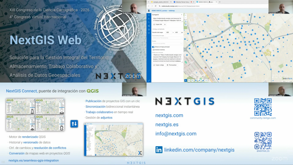
The team focused on NextGIS Web and its deep integration with QGIS: publishing QGIS projects to the web in one click, real-time synchronization of edits, multi-user collaboration with version control and native QGIS styles without intermediate conversions. It also covered QuickMapServices, NextGIS Toolbox, NextGIS Geoservices and the ready-to-use data store, as well as the benefits of NextGIS for universities and non-profit organizations.
NextGIS also announced an upcoming training seminar/workshop organized together with CAC: “NextGIS Web as a Spatial Data Center for Storage, Collaborative Work and Integrated Analysis with QGIS.” The event is expected to take place in November.
Black Friday
50% off NextGIS spatial data and cloud subscriptions. Follow us on LinkedIn to be notified when the promotion starts.


