


NextGIS GeoServices:
Basemaps on Your Own Server
Create, publish, and manage basemaps under your complete control.

Self-hosted basemaps
Deploy NextGIS GeoServices on your own server within your organization’s internal network. Publish custom basemaps using raster and vector tiles.
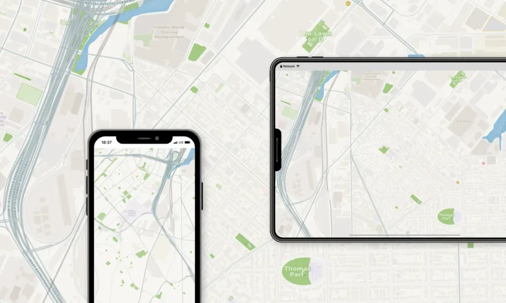

Use OpenStreetMap or your own data
Start with OpenStreetMap data, then add any datasets hosted in your NextGIS Web instance.
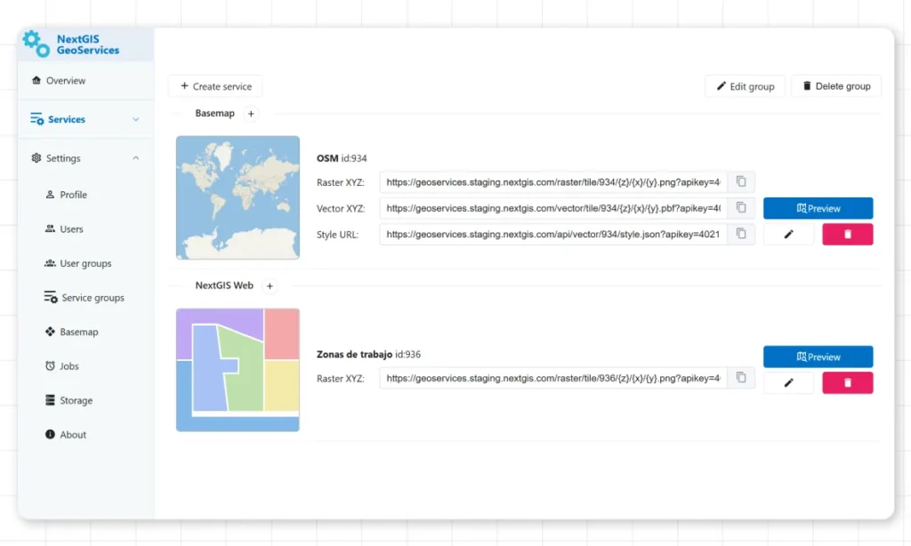

Control map content, styles, and other parameters
Define the coverage area, select the data to display, customize styles, and set the available zoom levels. Make your maps look exactly the way you need.
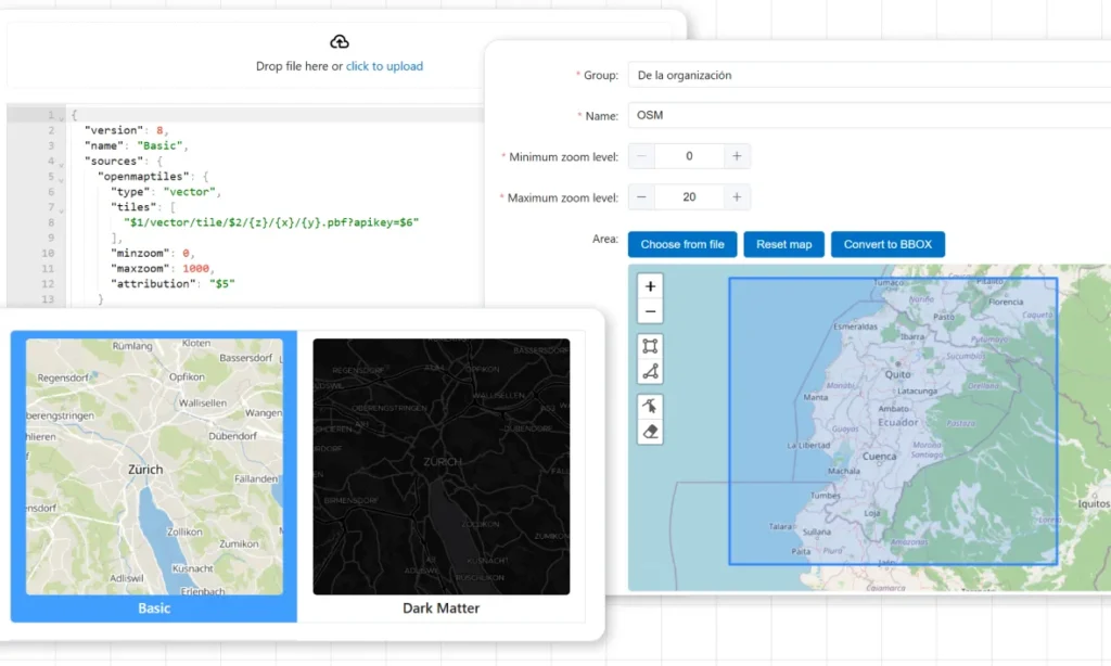

Cache external tile services
Rely on an external tile service? Cache the required area and use it without external service limitations.


Flexible API key-based access control
Restrict access to specific maps, zoom levels, and geographic areas.
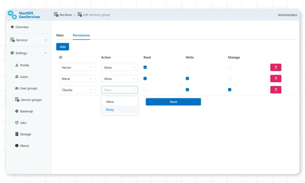
Built for every role in your organization
GIS Managers
Organize and oversee all your organization’s spatial data in one place. Enable team collaboration and data security by managing access permissions and workflows. Ensure data quality with version control and metadata management.
Developers
Build custom applications with our comprehensive API and JavaScript SDK. Automate data workflows, integrate with enterprise systems, and create interactive Web Maps tailored to your needs.
Documentation
Learn more about NextGIS GeoServices in our documentation.