All-in-one GIS platform
for maps and geodata
Web, mobile, desktop, and server tools to create, manage, and share spatial data and interactive maps.
- Cloud or on-premise
- Open source
- Enterprise ready
Store, Manage, and Publish Your Organization's Spatial Data
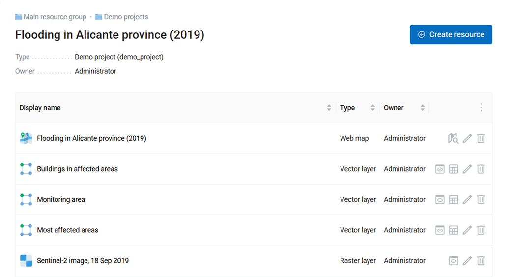
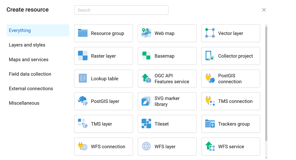
- One central database for all your spatial resources
- Edit data layers, services, and maps
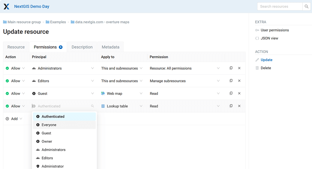
- Control access with flexible permissions
- Powerful API for integration with other systems
- Easy cloud and on-premise setup
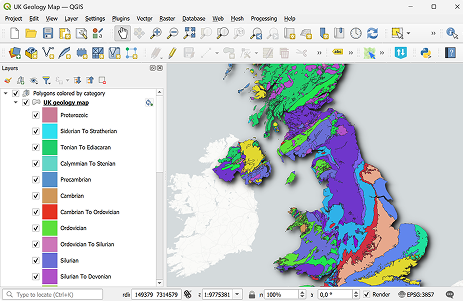
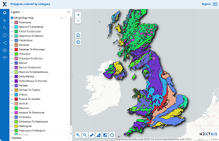


Seamless QGIS Integration
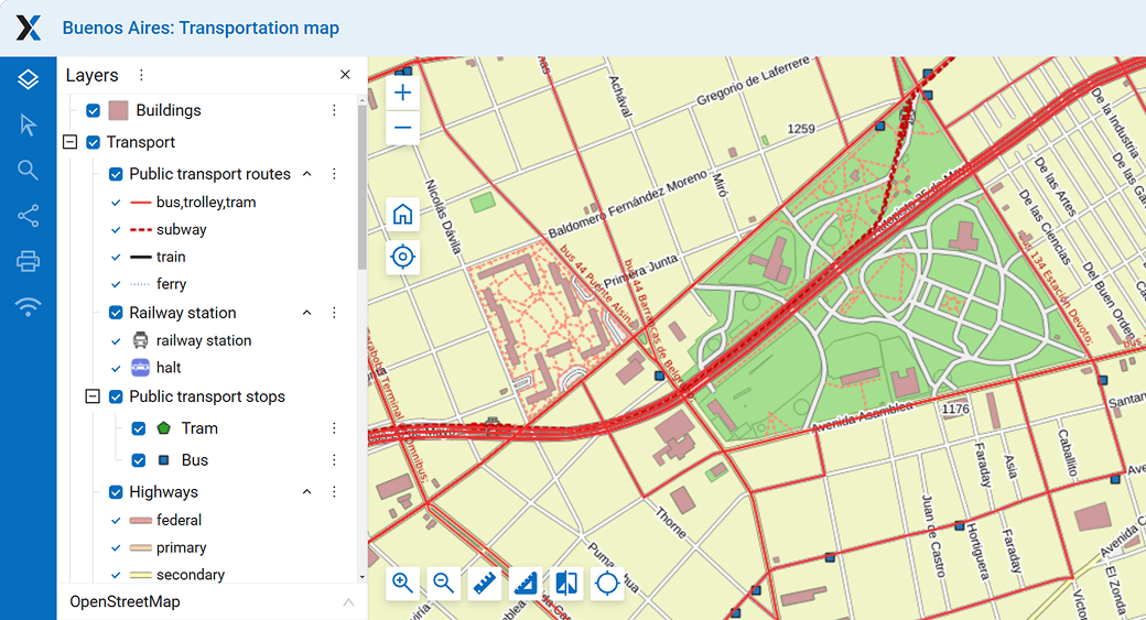
- Publish QGIS projects as Web Maps in one click
- Sync layers instantly
- Full QGIS style support
- Multi-user real time collaboration
Access Spatial Data in Minutes
- Order pre-processed vector and raster datasets for your GIS
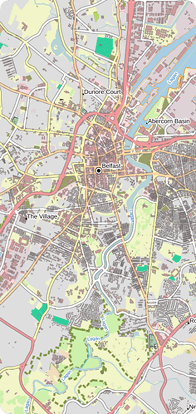
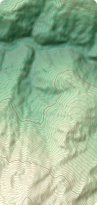
- Basemaps, elevation, buildings, roads, and more
- Includes GIS-ready project with styles, icons, and layers



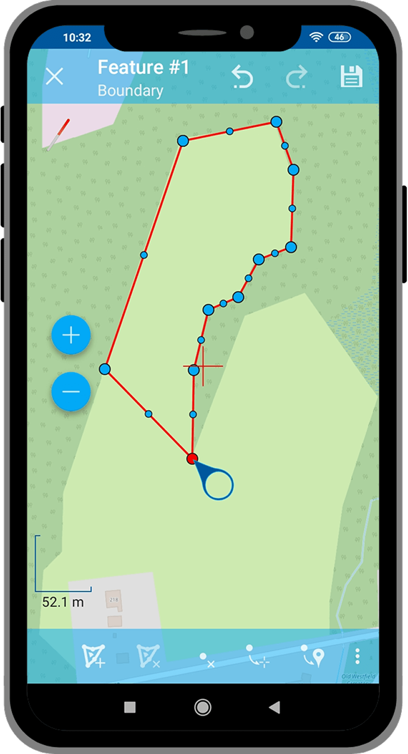
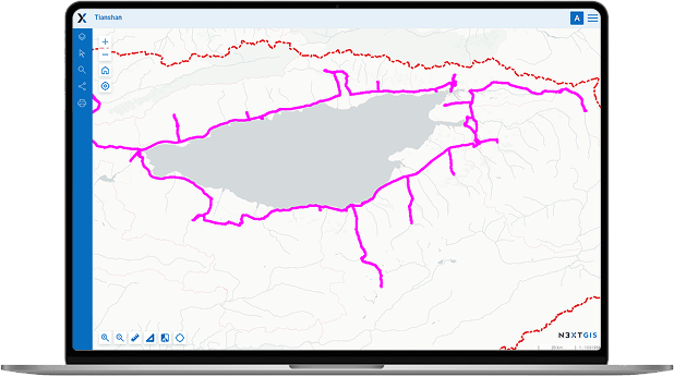

Use GPS to Track Assets and Personnel
- Store movement data
- Sync automatically with database and interactive maps
- Generate reports and analyze tracks
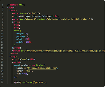
Build Your Own Apps
- Develop custom applications on our platform
- Ready-to-go libraries for front-end developers
- Full API access to GIS resources and tools
- Automate everything
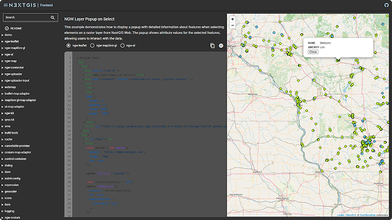

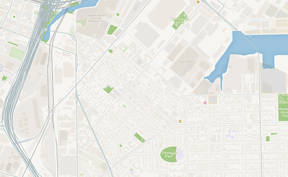
Basemaps on Your Own Server
- Self-hosted basemaps
- Ideal for secure air-gapped environments
- Use OpenStreetMap or your own data
- Control coverage, styles, and other features
Our Clients
Trusted by leading organizations around the world.


Custom GIS Solutions
We develop tools and functionalities tailored to specific client needs. Get in touch with us, and we will create a solution that perfectly matches your needs.
-
Custom SolutionsTailored to your specific requirements and workflows.
-
Expert SupportOur team of GIS specialists is ready to assist you.
-
Flexible DeploymentCloud, on-premise, or hybrid solutions available.


