


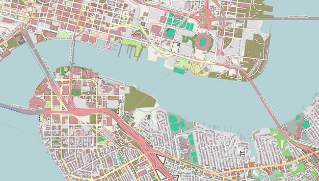
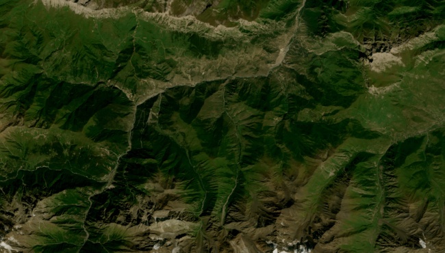
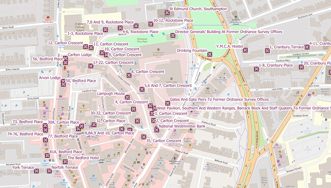
NextGIS Data: Spatial Data for your project
Ready-to-use vector and raster geodata sets
Select Data ▼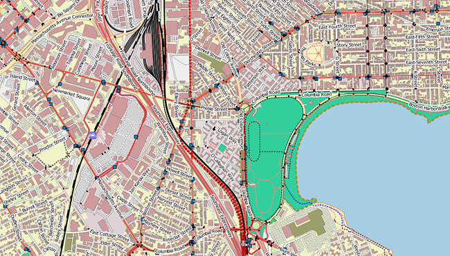


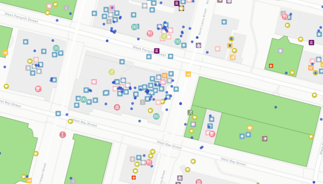
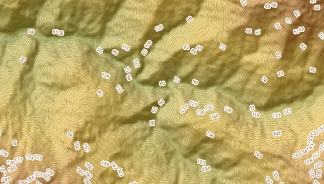
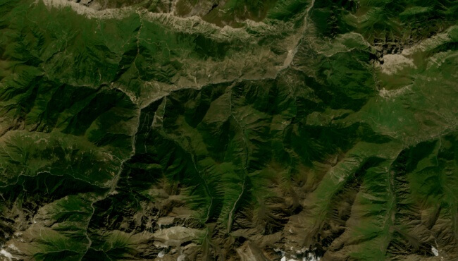
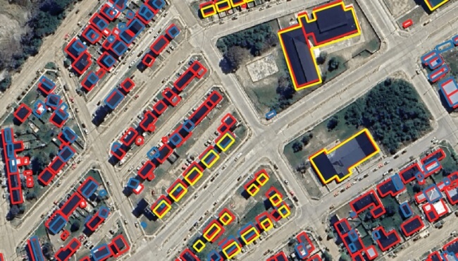
Flexible Options
Formats
- GeoPackage
- ESRI Geodatabase
- ESRI Shapefile
- GeoJSON
- MapInfo TAB
- MapInfo MIF / MID
- KML
- SQL PostgreSQL / PostGIS
- CSV
- GeoTIFF
Territories
Search available by cities, regions and countries. You can draw an area on the map or upload a layer to define coverage.
- All countries of the world
- Regions and cities within countries
- Custom area
