

October was conference month. In Laax and Leeds, we spent time with QGIS users who wanted their whole teams to work on the same data – and helped attendees from 11 countries build a QGIS Teamspace from scratch in our workshop.
Meanwhile, back home, our developers kept shipping – and on October 30, at QGIS Open Day, you can see one of the results live. We’ll show how the updated NextGIS Connect lets you view, add, and manage files attached to features right from QGIS. I hope you will join us.
Eduard Kazakov
Head of Business Development
LinkedIn Profile
If your team builds its own geoportal or a dashboard on top of NextGIS Web, NextGIS Frontend 4.0 takes care of much of the integration work. Filtering, selection, popups, and zooming now behave the same way in Leaflet, OpenLayers, and MapLibre GL JS, so you can pick the map engine that suits the project without rewriting the connection to NextGIS Web. In addition, new QuickMapServices packages let users browse the QMS catalog from inside your app.
Blog article | NextGIS Frontend
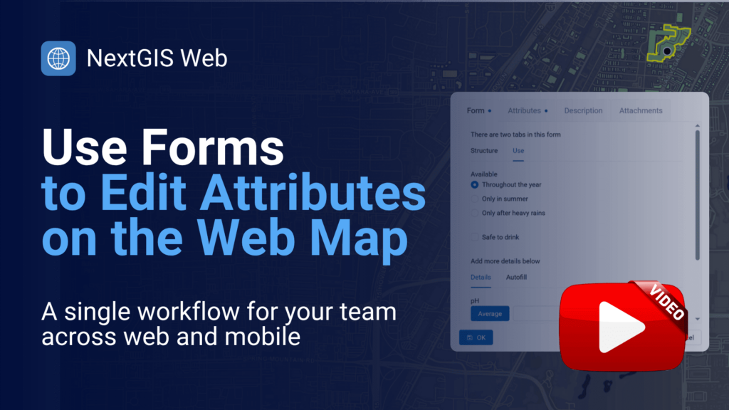
What if the team members who need to edit geodata don’t have GIS experience? They can now add or update features on NextGIS Web maps through custom forms – right in the browser. And because it’s the same form your field team uses in NextGIS mobile apps, you design it once and use it everywhere.
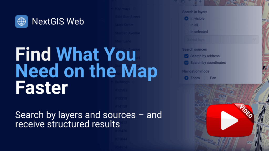
Web map search is now yours to configure: choose which sources and layers are searched and how the map navigates to a result. Results are grouped by layer, and you can open a feature’s details straight from the list.
Public Overpass servers are shared by everyone, so queries can slow down, time out, or fail when the servers are busy. NextGIS now runs its own Overpass API instance: create a key in your NextGIS account and get a personal endpoint that works with the queries you already use. Paste it into the OSMInfo plugin to explore OpenStreetMap features right from QGIS.
Help keep our services free! Upgrade to Mini or Premium.
Blog article | Get your API key
Most QGIS users meet NextGIS through a plugin – QuickMapServices alone has passed 12 million downloads. Behind it are more than 30 plugins, contributions to QGIS core, years of financial support for the project, and the server tools that help QGIS teams work on shared data. Here’s how it all fits together.
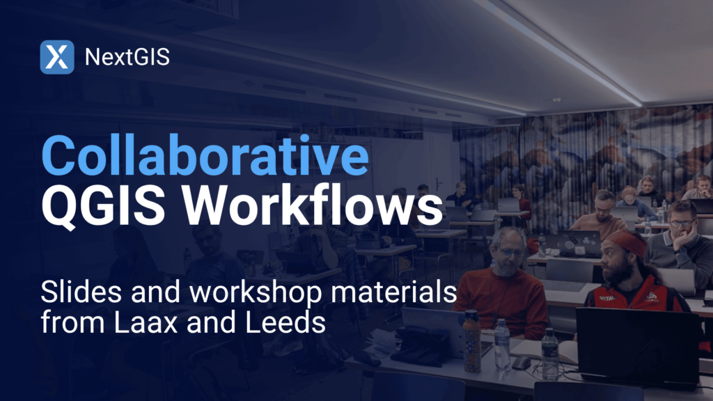
At the QGIS User Conference in Laax and FOSS4G:UK in Leeds, we showed how QGIS teams can sync edits, resolve conflicts, and track version history without leaving desktop QGIS. The slides from both talks and the materials from our 3.5-hour workshop are free to download – work through them at your own pace.
QGIS User Conference | FOSS4G:UK
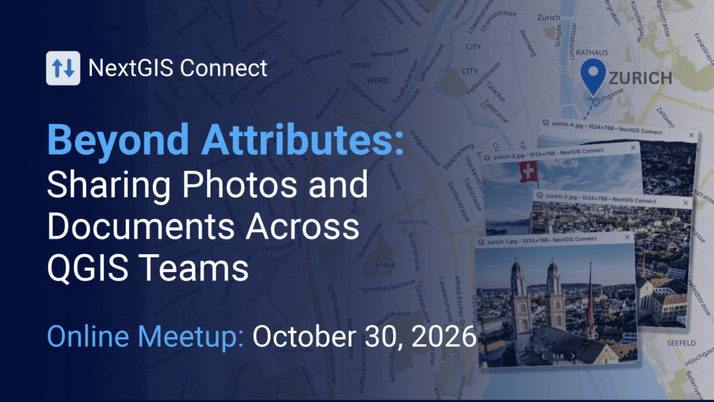
QGIS Open Day is the community’s monthly online meetup. On October 30, we’ll demonstrate how the updated NextGIS Connect plugin enables QGIS users to view, add, open, download, and manage files attached to features stored on a shared, open-source NextGIS Web server.
See the start time in your local time zone on the registration page.
Register to get the meetup link
Five Things You Didn’t Know About QuickMapServices is now online: previewing services on the catalog map, vector tiles, favorites and filtering by map extent, adding your own services, and using QMS in your own apps.
Watch the recording | Download the slides

From November 23rd to 27th, you can order geodata and get a NextGIS Web cloud subscription at 50% off. We’ll send you a reminder closer to the day!
See current geodata offerings | See current cloud subscription pricing


