

Digital sovereignty is often viewed as a call to give up popular, convenient tools. We disagree. When the U.S. government briefly restricted access to Anthropic’s most advanced AI model under export controls, it was a reminder that access to critical software can be revoked overnight. In recognition of this risk, the French government is requiring every ministry to eliminate non-European digital dependencies by autumn 2026. It is also replacing Zoom and Microsoft Teams with a homegrown platform called Visio, migrating 2.5 million civil servant desktops from Windows to Linux.
For NextGIS, the idea of digital sovereignty is all about supporting local developers, preventing vendor lock-in, and ensuring continued access to your infrastructure and data. With that in mind, here’s what’s new this month – from infrastructure that keeps you in control to a few smaller tools that are just worth trying.
Eduard Kazakov
Head of International Business Development
LinkedIn Profile
Your organization’s basemap doesn’t have to depend on a third-party service you can’t control. NextGIS GeoServices is a self-hosted tile server you deploy on your own infrastructure – including fully air-gapped networks – to publish raster and vector basemaps from OpenStreetMap data, your NextGIS Web resources, or third-party tile proxies. Docker-based deployment, group-based permissions, no external dependency once it’s running.
If your web GIS storage is growing into hundreds of layers, maps, and services, finding the right one by scrolling isn’t sustainable. NextGIS Web’s new advanced search lets you filter by resource type, owner, folder, and name, or search by custom metadata your team already tracks – then save the result as a URL you can reuse as a live catalog view.
NextGIS Web cloud instances now include an AI assistant built into the filter builder. Instead of assembling conditions field by field, just describe what you’re looking for – “one-way roads for cars, excluding pedestrian-only roads” – and the assistant translates it into a standard, inspectable NextGIS Web filter you review before applying. It’s built for routine filtering, not automated decisions: you stay in control of what gets applied.
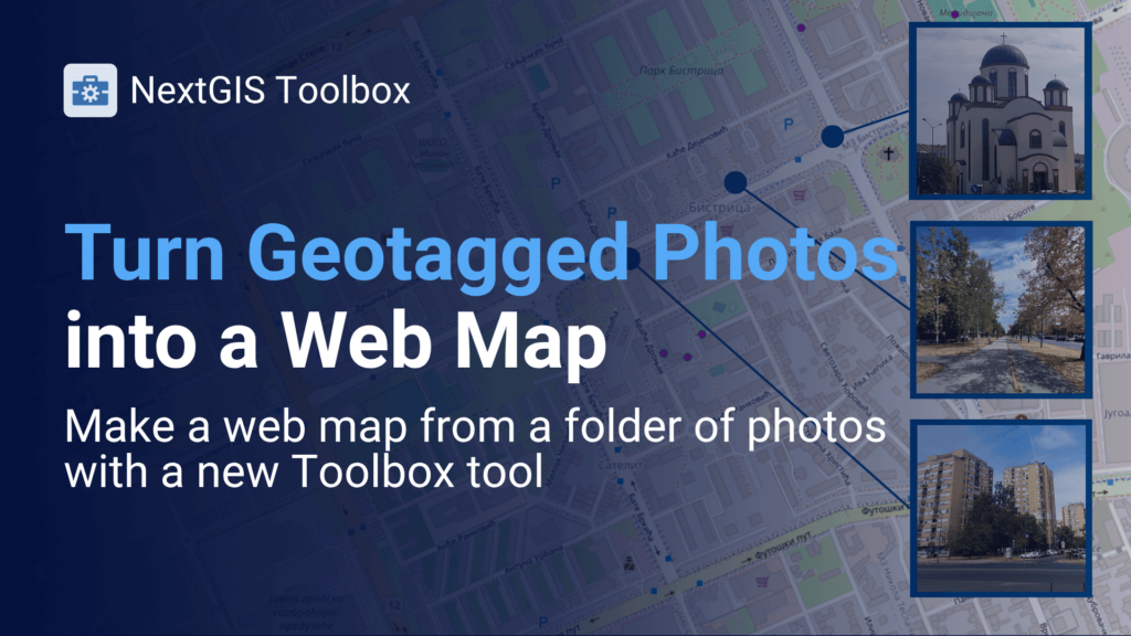
A folder of geotagged photos already contains a spatial dataset – the EXIF metadata just needs surfacing. NextGIS Toolbox’s “Photos with EXIF to a Web GIS layer” tool takes a ZIP of photos and produces a point layer, linked photo attachments, and a ready-to-use web map in one run, no desktop GIS project or manual coordinate table required.
Blog article │ Photos with EXIF to a Web GIS Layer Tool

NextGIS supports your digital independence at every level, from fully self-hosted deployments to the cloud service itself.
Self-hosted options:
Prefer not to manage your own infrastructure? NextGIS Cloud offers the same vendor independence, hosted in the EU, US or Asia – you choose.
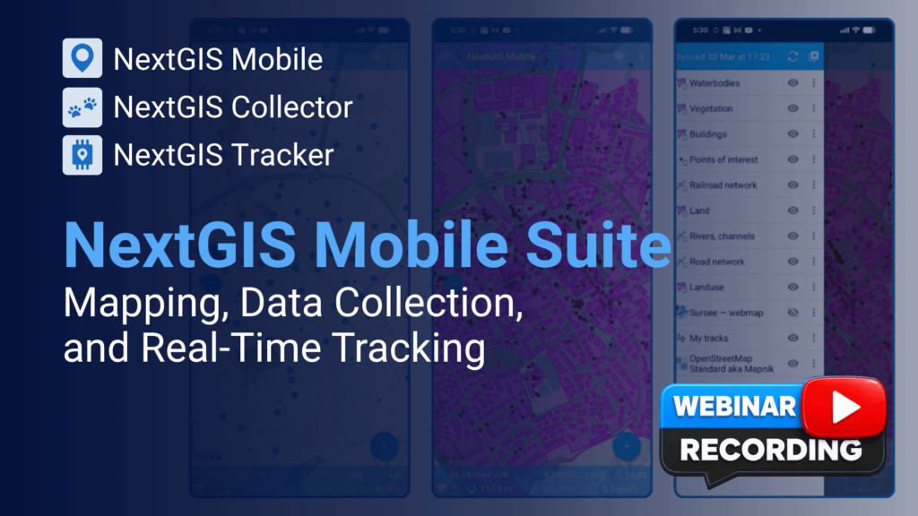
Missed our live session on field data collection? The recording walks through NextGIS Mobile, NextGIS Collector, and NextGIS Tracker working together – from editing data offline in the field to real-time device tracking on your web map.
English recording │ Spanish recording
We’re heading to FOSS4G 2026 in Japan with two presentations and a hands-on workshop. Details on session times and topics are in the article below.
Have you recently switched to any new tools that support digital sovereignty and/or local developers? Would you recommend any of those tools?


