
NextGIS will take part in FOSS4G 2026 in Hiroshima, Japan, with two general program talks and one practical workshop.
FOSS4G is the central global gathering point for the open-source geospatial community: developers, users, researchers, companies, public institutions, and everyone building with free and open geospatial technologies. For NextGIS, it is a place to share what we build, learn from the wider community, and discuss the future of open GIS infrastructure.
This year, our program will cover three important directions of our work: the story and future of QuickMapServices, modern developer workflows for QGIS plugin authors, and collaborative Web GIS infrastructure for QGIS-based teams.
Tuesday, September 1, 4:30 PM, Room6
Our first general program talk is dedicated to QuickMapServices, one of the most widely used plugins in the QGIS ecosystem and a long-standing NextGIS project.
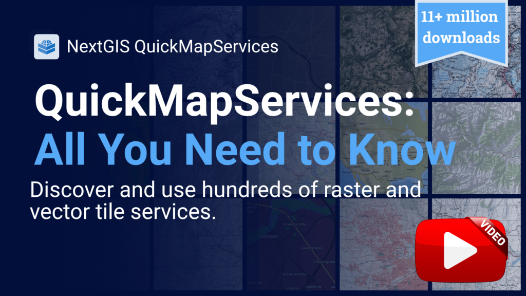
QuickMapServices started as a simple idea: make it easy for QGIS users to find and add basemaps and geospatial web services to their projects. Over time, it became a core part of everyday workflows for millions of QGIS users around the world.
At FOSS4G 2026, we will tell the story behind the plugin: its origins, evolution, community growth, technical decisions, unexpected challenges, and key turning points. We will also discuss the newest features shaping the future of QuickMapServices.
And yes, we will finally talk about how this QGIS plugin reached the incredible milestone of more than 10,000,000 downloads worldwide.
To our knowledge, this will be the first dedicated FOSS4G talk about QuickMapServices. Seriously.
Tuesday, September 1, 2:05 PM | Ran1
Our second talk is a short session for QGIS plugin developers.
Developing QGIS plugins is one of the most powerful ways to extend QGIS and adapt it to specialized professional workflows. Python, PyQGIS, and the QGIS plugin architecture give developers a lot of flexibility. But for a long time, the developer experience has lacked one important thing: a smooth, modern debugging workflow.
DevTools for QGIS is a toolkit for plugin developers that allows you to launch a debugpy server directly from QGIS and connect to the running QGIS process from VS Code. This makes plugin debugging more comfortable, transparent, and closer to the workflows developers already use in other Python projects.
The talk will introduce the tool, explain the workflow, and show how QGIS plugin development can become faster and less painful when proper debugging is part of the setup from the beginning.
Monday, August 31, 2:00 PM, 612
We will also run a hands-on workshop focused on NextGIS Web and team workflows around QGIS.
NextGIS Web is an open-source Web GIS server with a built-in web interface for publishing, managing, and sharing geospatial data and web maps. It integrates closely with QGIS and supports robust team workflows for organizations that use QGIS not only as a desktop GIS, but as part of a shared production environment.
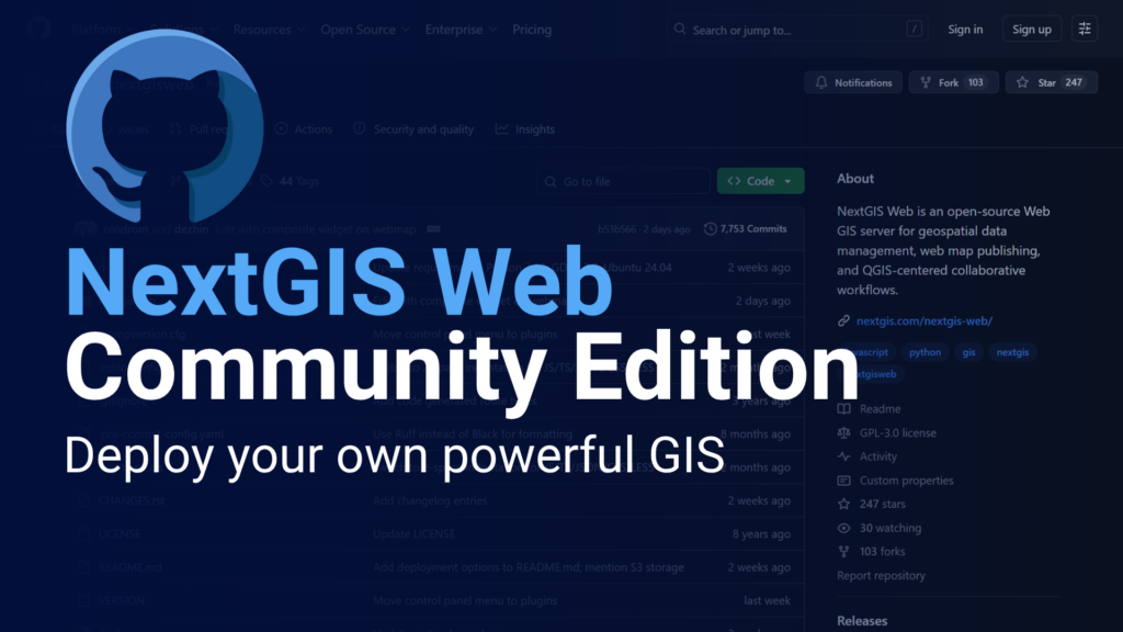
During the workshop, participants will deploy a local NextGIS Web instance using Docker, perform initial configuration, and work through the main administrative and production workflows.
The practical part will include:
A special focus will be placed on multi-user workflows. Participants will see how several QGIS users can work with the same published project, perform simultaneous editing, resolve conflicts, and use vector data version control to track who changed what and when.
We will also demonstrate more advanced collaboration features, including change history, rollback, and branching for vector layers.
The goal of the workshop is to show how open-source tools can support professional GIS teamwork: from local deployment to real collaborative editing, from desktop cartography to web publishing, and from individual datasets to managed spatial data infrastructure.
At FOSS4G 2026, our talks and workshop reflect our long-term work at the intersection of desktop GIS, Web GIS, open standards, and practical team workflows.
QuickMapServices shows how a focused QGIS plugin can grow into a global community tool.
QGIS DevTools improves the development experience for people building the next generation of QGIS extensions.
NextGIS Web demonstrates how open-source Web GIS infrastructure can support real production workflows for teams, organizations, and distributed projects.
We are excited to bring these topics to Hiroshima and to meet the FOSS4G community in Japan.
See you at FOSS4G 2026!


