
Every August, offices empty out, inboxes go quiet, and releases go dormant. Ours didn’t. We released new versions of virtually all our products.
We are especially excited about the update enabling attachments and feature descriptions to follow your geodata across your entire workflow – from the field to your browser to QGIS. Photos, documents, notes, and descriptions stay connected to the feature they belong to regardless of where you want to access them.
But wait, there’s more of course! Read on for more updates, milestones, and useful tools.
Eduard Kazakov
Head of International Business Development
LinkedIn Profile
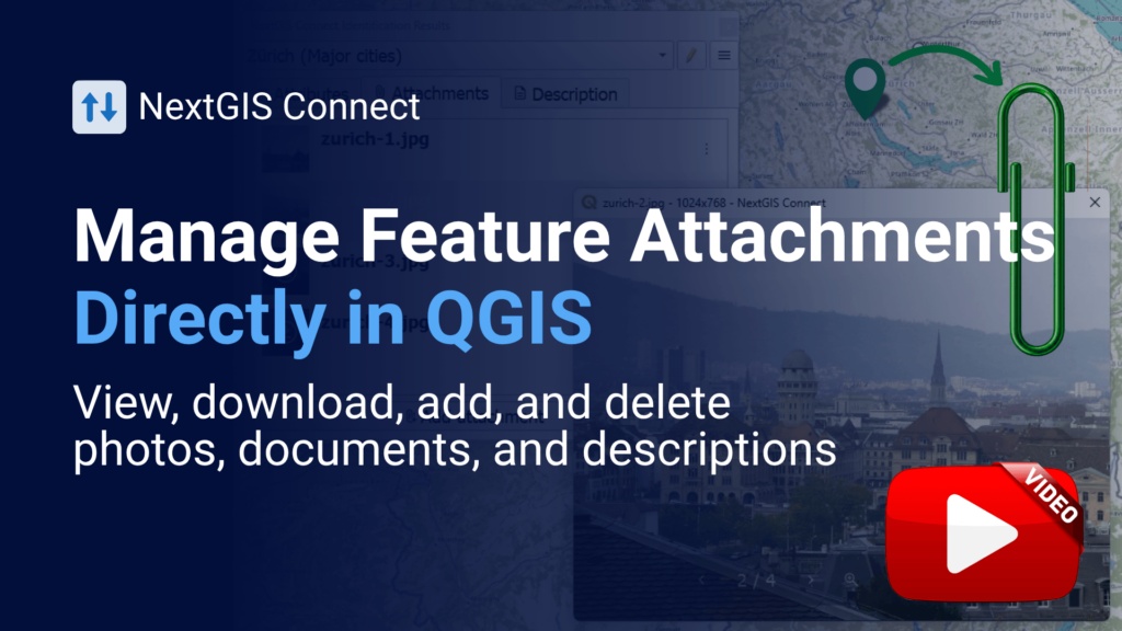
Your features aren’t always just points, lines, or polygons. They often require photos from the field, inspection documents, supporting files, or detailed descriptions. With the latest NextGIS Connect, you can work with feature attachments directly in QGIS – add new files, download existing ones, or remove them – and manage feature descriptions without leaving your desktop. Most importantly, attachments stay associated with their features as data moves between QGIS, NextGIS Web, and mobile apps.
Three months of releases across NextGIS Web, NextGIS Connect, NextGIS GeoServices, NextGIS Mobile, NextGIS Collector, and NextGIS Toolbox are now gathered in a single roundup – configurable web maps in display mode, AI-assisted filtering, non-spatial vector layers, S3-backed raster storage, and a dozen new Toolbox tools among them.
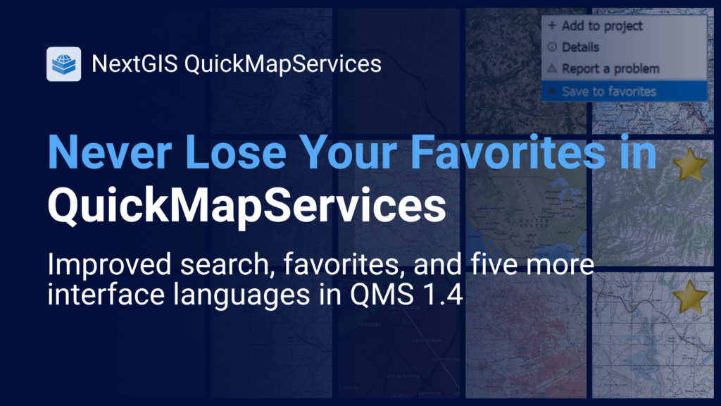
Our flagship plugin now includes a Favorite Services list, keeping the basemaps you use most often right at your fingertips. Two more reasons to update your version of QMS: more efficient search and support for five more languages: Spanish, Portuguese, French, Italian, and German.
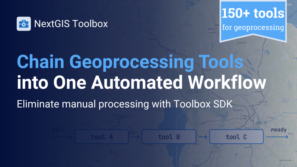
If you run the same geoprocessing task on a schedule or as part of a pipeline, the NextGIS Toolbox SDK lets you call tools from Python and pass results directly from one processing task to the next – no manual downloading and re-uploading between steps.
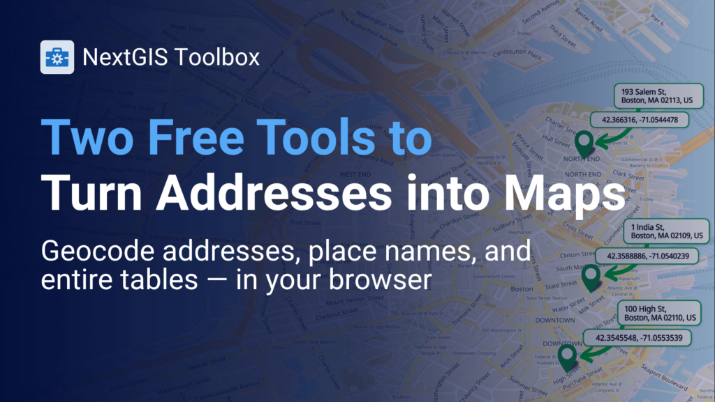
NextGIS Toolbox offers two tools to geocode tables of addresses into maps:
As with all our tools, you can use them manually via the Toolbox interface or call them programmatically in your Python scripts (more in the next article).
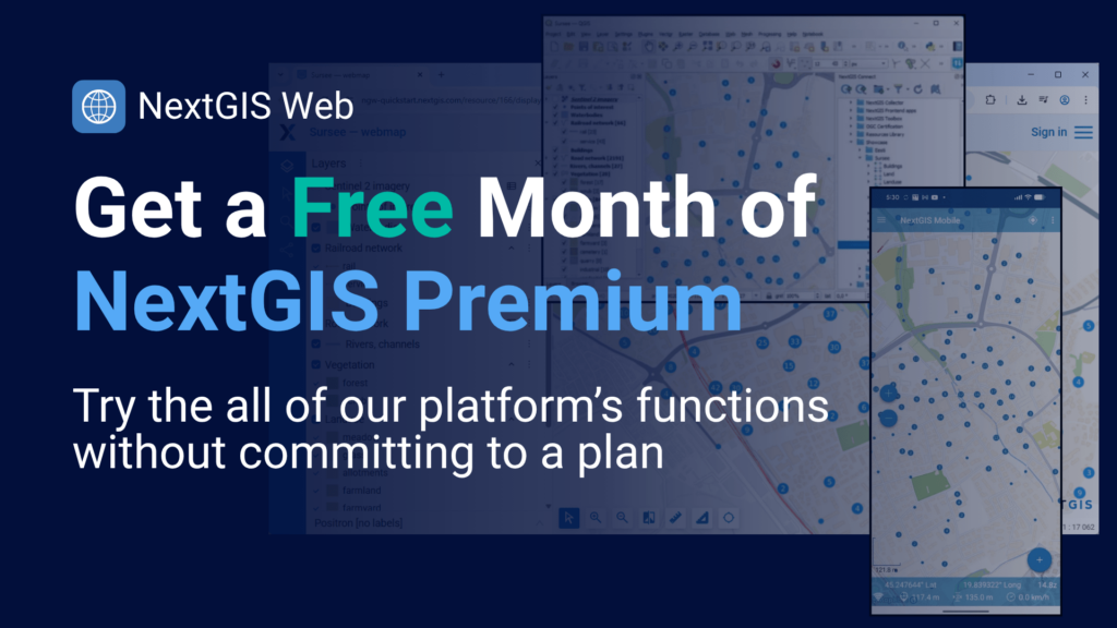
Have you been meaning to try the full platform without committing to a plan first? We just opened a free one-month trial of NextGIS Premium – unlimited layers, 50 GB of storage, full QGIS integration with a suite of collaboration features, and unlimited Toolbox runs, with nothing simplified or held back. You can cancel your trial at any time – but we bet you will love the range of features we offer and the speed at which we add new ones.
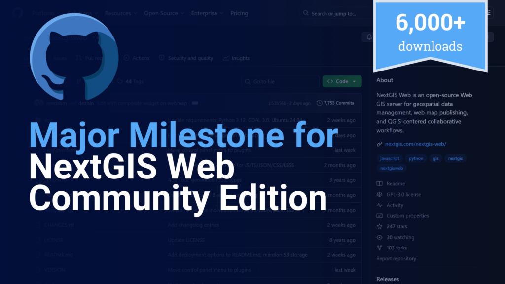
The Docker image of our free, open-source NextGIS Web Community Edition (CE) has surpassed 6,000 downloads. Version 26.07.0 brings the same advanced features as the cloud platform for those who want to use and build with our platform independently.
Blog article | Installation and Use Webinar Recording in English and Spanish

In preparation for FOSS4G in Japan, we are working on two presentations and a practical workshop. One of them will include a major update to QuickMapServices.
If you are planning to visit FOSS4G and want to connect, please contact Maxim, our Founder. But in any case, please look for the release info in our next newsletter and on our LinkedIn page!
What are the complex tasks you have to do with geodata over and over again? Share your pains with us – and our team will consider adding your idea to our Toolbox development roadmap. For your contribution, you will receive a one-time 50% promo code for a geodata purchase from our Data Store a token of thanks.


