
NextGIS Connect 4 brings a major update to the workflow between QGIS and NextGIS Web: feature attachments can now be managed directly from QGIS.
Photos, documents, scans, and other files associated with vector features are often an important part of a GIS dataset, especially in field surveys, inspections, infrastructure inventories, and environmental monitoring. With NextGIS Connect 4, there is no longer a need to switch to the NextGIS Web interface just to work with these files.
The new release also introduces a redesigned interface, improved connection diagnostics, cancellable long-running operations, safer bulk resource deletion, better search, new data type support, and numerous improvements to raster and vector workflows.
The new version of NextGIS Connect is already available in the official QGIS Plugin Repository.
The most notable addition in NextGIS Connect 4 is a new Identify tool for synchronized vector layers.
When working with a vector layer connected to NextGIS Web, you can identify a feature and access its data directly through the NextGIS Connect interface. In addition to viewing and editing attribute fields, the tool provides access to files attached to the selected feature.
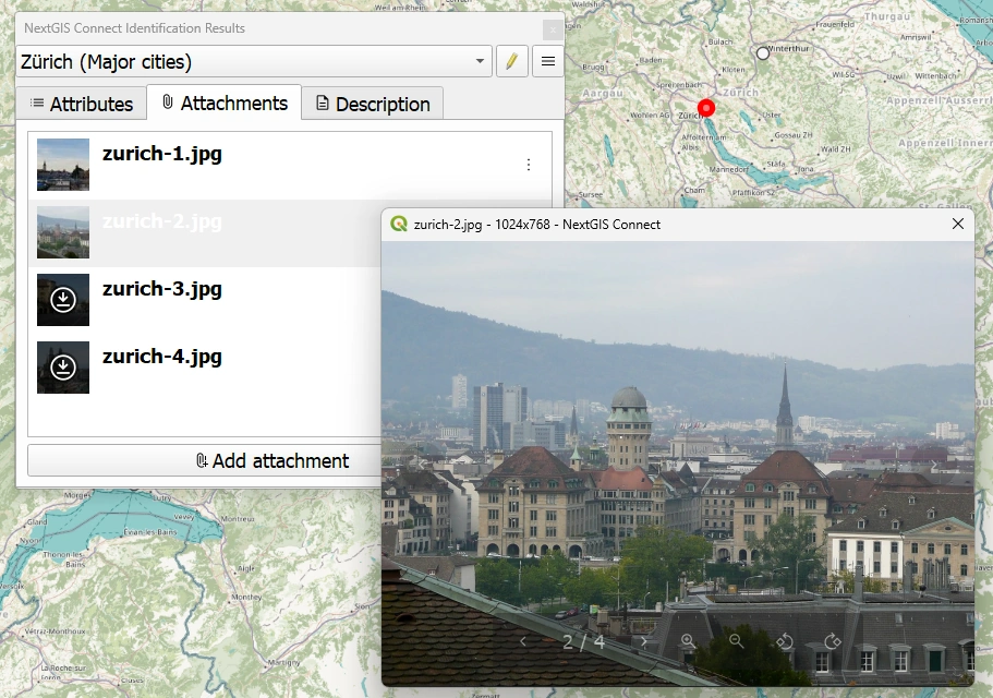
From QGIS, you can now:
This means that a record created in the field, for example with a photo attached to it, can later be reviewed and updated by a GIS specialist without leaving QGIS.
Likewise, files added from QGIS become part of the same NextGIS Web feature and remain available to users working through the browser or other applications connected to the Web GIS.
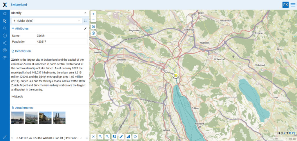
The goal is to make geometry, attributes, descriptions, and attached files parts of the same continuous workflow.
Attachment management is part of a much broader redesign introduced in NextGIS Connect 4.
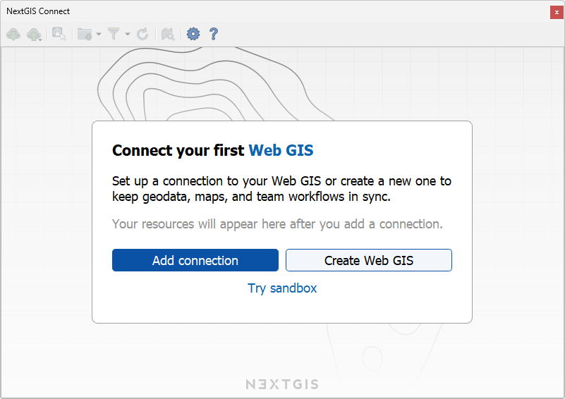
New users are now greeted with a dedicated welcome screen, while the connection dialog has been redesigned to make configuring and managing Web GIS connections clearer.
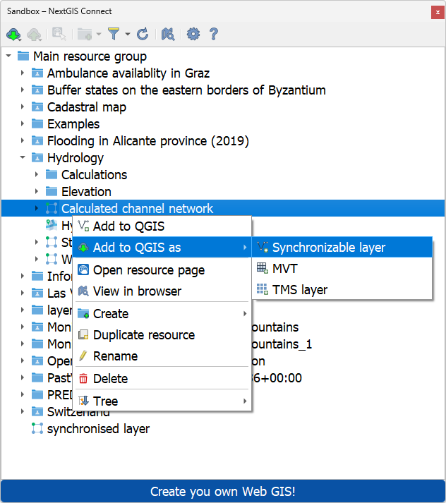
The plugin interface has been reorganized, including its resource menus, toolbar actions, connection settings, and progress handling.
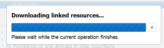
Long-running operations now use a new progress-handling system and can be cancelled while they are running. This is useful when connecting a large Web Map or loading a resource group containing many layers and styles: an accidentally started operation no longer has to run to completion.
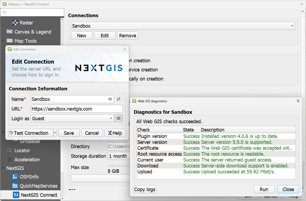
NextGIS Connect 4 also adds more detailed diagnostics for Web GIS connections.
The plugin can check several aspects of a connection, including:
These checks can make it easier to distinguish an authentication problem from a certificate, permissions, compatibility, or network issue.
NextGIS Web uses a hierarchical resource model. A resource group can contain vector layers, styles, forms, Web Maps, services, and further nested groups. As a result, deleting a parent resource can affect considerably more data than its name alone might suggest.
NextGIS Connect 4 introduces bulk resource deletion with impact calculation before confirmation.
Before deletion, the plugin shows what resources will actually be removed. This makes destructive operations more transparent, particularly when working with complex Web GIS resource trees.
Connect 4 expands the range of NextGIS Web data that can be handled from QGIS.
The plugin now supports:
This support brings QGIS workflows closer to the expanded data model available in recent NextGIS Web versions.
Raster handling also received a significant update.
NextGIS Connect 4 adds the ability to overwrite existing raster layers, simplifying workflows where a dataset stored in NextGIS Web needs to be periodically replaced with a newer version.
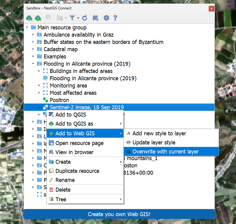
Raster uploads have also been improved with support for:
These changes make synchronization and publication workflows more flexible for projects combining vector and raster datasets.
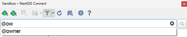
Resource search in NextGIS Connect has been improved with autocomplete and value suggestions, making it easier to navigate larger NextGIS Web instances.
The plugin also gives users more control over how NextGIS Web resources are added to QGIS and includes a number of smaller improvements to resource management.
Starting with the 4.0 series, the plugin cache has also been moved to the QGIS user profile, providing more predictable management of local plugin data.
QGIS remains the environment for advanced editing, analysis, styling, and cartography, while NextGIS Web provides centralized data storage, sharing, permissions, web maps, APIs, and collaboration infrastructure.
The main direction of NextGIS Connect 4 is to reduce the boundary between desktop GIS and Web GIS, make the working enviroment as seamless as possible.


