

September is when the whole team is back in the same room – and, ideally, working on the same data. This summer NextGIS was named one of Geoawesome’s Global Top 100 Geospatial Companies of 2026. For the first time, the list was chosen by the community itself – more than 125 geospatial professionals took part in developing it. If you were one of them, thank you!
The world’s most popular QGIS plugin, QuickMapServices, has grown to more than 1,000 services – and has picked up new features. On October 21st, we are hosting a webinar exploring how to get the most out of QMS for beginners and power users alike.
Eduard Kazakov
Head of International Business Development
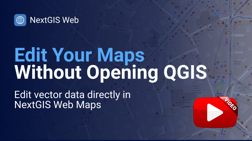
Every organization has people who know the data best and the GIS software least – the inspector, the planner, the project manager. Until now, their corrections went through the GIS specialist. With the new editing tools in NextGIS Web, they can fix their maps and underlying data themselves in the browser: add and move features, update attributes and attachments, snap to existing geometry, and undo mistakes. Permissions decide who can change what, and your QGIS users keep working on the same layers.
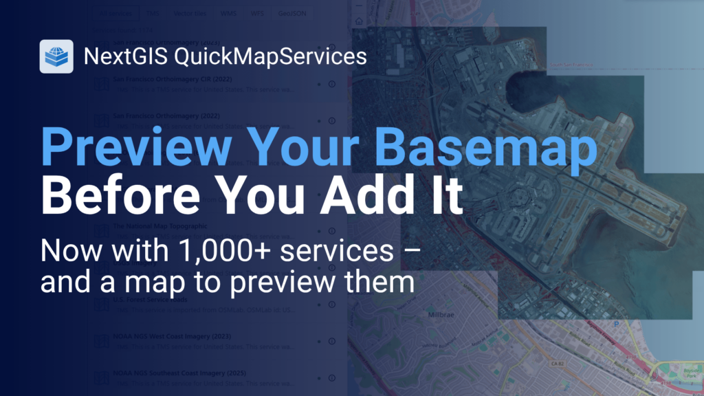
The QuickMapServices catalog has passed 1,000 active services – almost double last year’s count – and a longer list of names makes choosing harder. The new map view fixes that: click any service to preview it on the map, check the territory it actually covers, and compare it against OpenStreetMap with an opacity slider – all before adding it to QGIS. Vector tile services are now in the catalog too, and you can submit your own.
Try the map view | Blog article
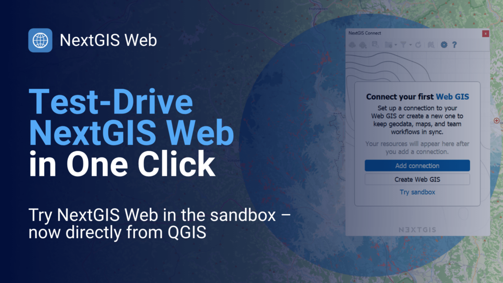
Curious about NextGIS Web but not ready to create an account? NextGIS Web Sandbox is a live instance with sample data: open a web map, turn on editing, and try the new tools for yourself. If you work in QGIS, the latest NextGIS Connect puts the Sandbox one click away – install the plugin and connect straight to it.
Blog article | Open the Sandbox online
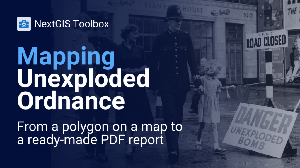
RSK Ordnance Management wanted visitors to its website to draw a site boundary and get an unexploded ordnance (UXO) hazard screening report in return. We built it on NextGIS Web and NextGIS Toolbox: the user outlines an area, and the system runs the analysis and returns a PDF with maps, legends, and findings written from the data. The same draw-analyze-report pattern fits environmental screening, site selection, and compliance checks.
Blog article | NextGIS Toolbox
Most QGIS users open QuickMapServices for one thing: a quick basemap. In this free webinar, we’ll show what else the plugin and catalog can do. On October 21st, you will see how to preview services, work with vector tiles, manage favorites, add services to the catalog, and bring QMS into your own apps – with lots of tips and tricks along the way. Whether you are a beginner or a power user, we are sure you will learn something new.
See the start time in your local time zone on the registration page.

In October, we are taking collaborative QGIS workflows on the road:
Eduard Kazakov and Aleksei Novikov will be at both. Going too? Get in touch with Eduard – we’d love to meet.
We run free webinars on the topics you tell us matter. Which topics would you sign up for? Vote on the Community Forum – pick up to three, or suggest your own.


