
Want to see how NextGIS Web works with your data? Explore our public sandbox at sandbox.nextgis.com. It gives you access to the full functionality of a standard NextGIS Web instance, ready for hands-on experiments without deploying your own server.
And now, getting started from QGIS is even easier: NextGIS Connect has a sandbox button on its start screen. Open the plugin, click the button, and start exploring how QGIS and NextGIS Web work together!
The sandbox lets you explore NextGIS Web from both sides: as someone preparing and managing geodata, and as someone using it through a web map. You can upload a sample dataset, configure its appearance, build a map, and explore the result in your browser.
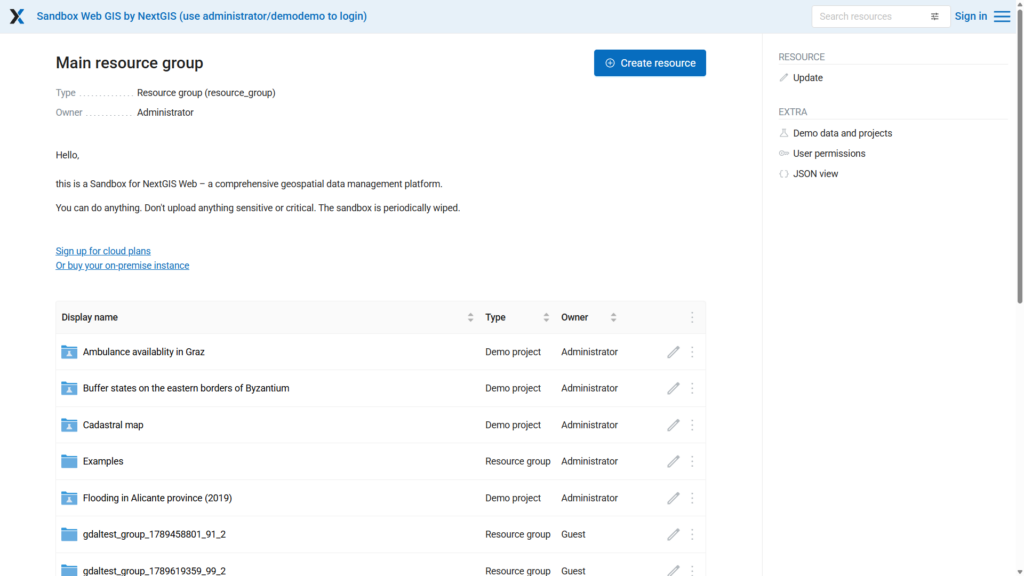
Here are a few things to try:
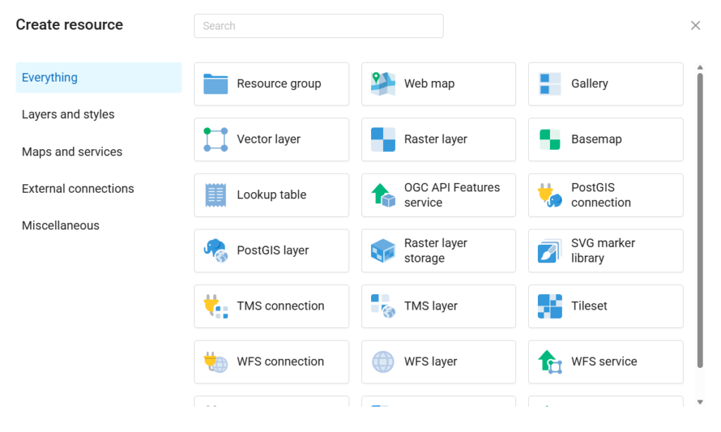
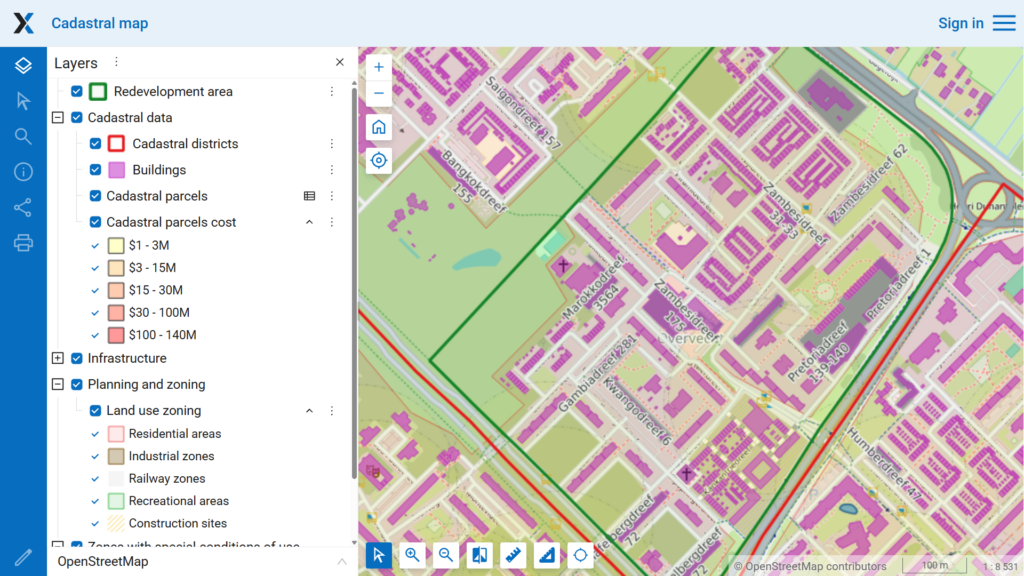
You can use the sandbox for a first introduction, a quick feature check, or a demonstration for colleagues who want to understand what a shared Web GIS workspace looks like.
If you already work in QGIS, the sandbox is a convenient way to explore what happens when your desktop GIS connects to NextGIS Web.
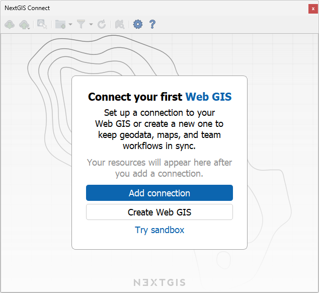
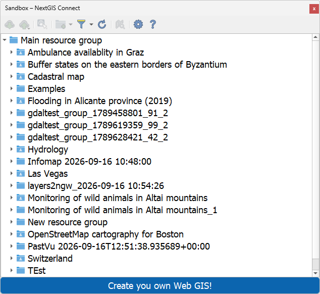
To get started:
From there, explore working with server-hosted layers in QGIS. This is a practical and straightforward way to get familiar with the connection between data on the server, your QGIS project, and the map people use online.
The sandbox is reset periodically, so uploaded data, maps, and changes are temporary. Keep local copies of anything you want to keep, and use sample or non-sensitive data for your experiments.
The periodic reset keeps the sandbox ready for new experiments. For ongoing work and data you need to keep, use your own NextGIS Web instance: in the cloud, on-premise, or self-hosted.
Ready to give it a try? Open the NextGIS Web sandbox or launch it from the start screen of NextGIS Connect in QGIS.


