Together with “Green lanes of Kaliningrad region” initiative group we have developed a simple tool for field surveys of green spaces of the region. The idea for interactive map showing trees that need attention was conceived by local activists as a result of repeating tree cuts and tree die out as a result of irresponsible trimming. The idea was supported by Teplitsa of social technologies.
Using components of our platform we have developed a solution to collect tree data which is hard or impossible to get officially.
Technical details
Survey system has two parts:
Woody allows a surveyor to:
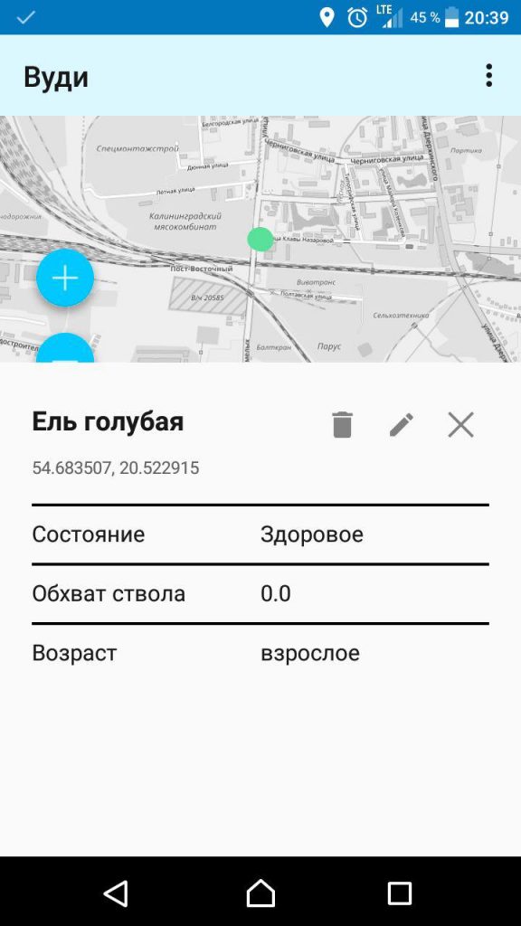 |
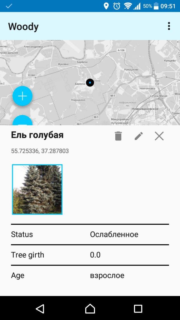 |
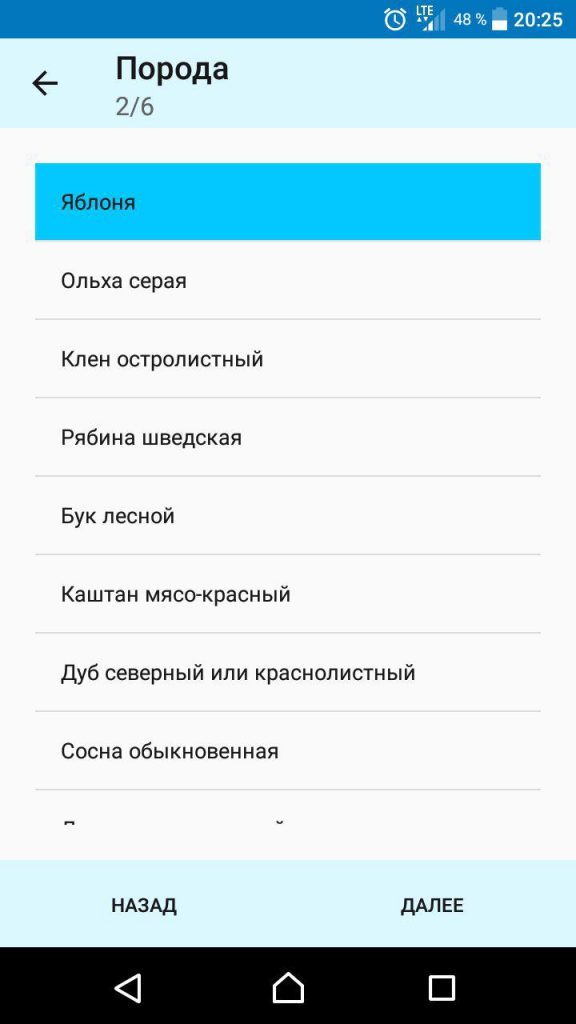 |
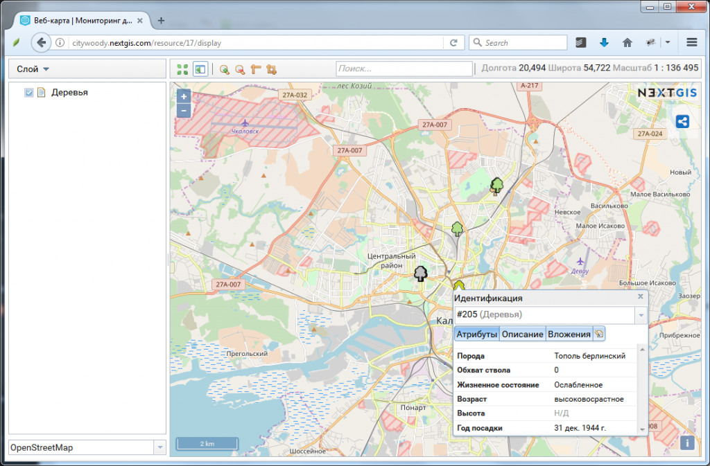
Web GIS allows to:
This is an example of a small project developed by NextGIS. Thanks to using standard components it was possible to start data collection right away. The development of custom application was simplified through using NextGIS Mobile SDK and took only few weeks.
If you need your own Web GIS and help developing similar maps – let us know, we’ll be happy to help.


