
While we were getting ready to celebrate 10 million downloads of QMS, it shot way past the milestone and crossed 11.36 million downloads. This happened because of the people who use it, contribute basemap services, and share it with colleagues. But QMS is much more than a QGIS plugin – it is a crowdsourced catalog of services that can be connected to your app or platform.
In other news, our company has turned 15 years old. This is the stage at which young people get rebellious and question the status quo. This is definitely something we strive to do, so please read on!
Eduard Kazakov
Head of International Business Development
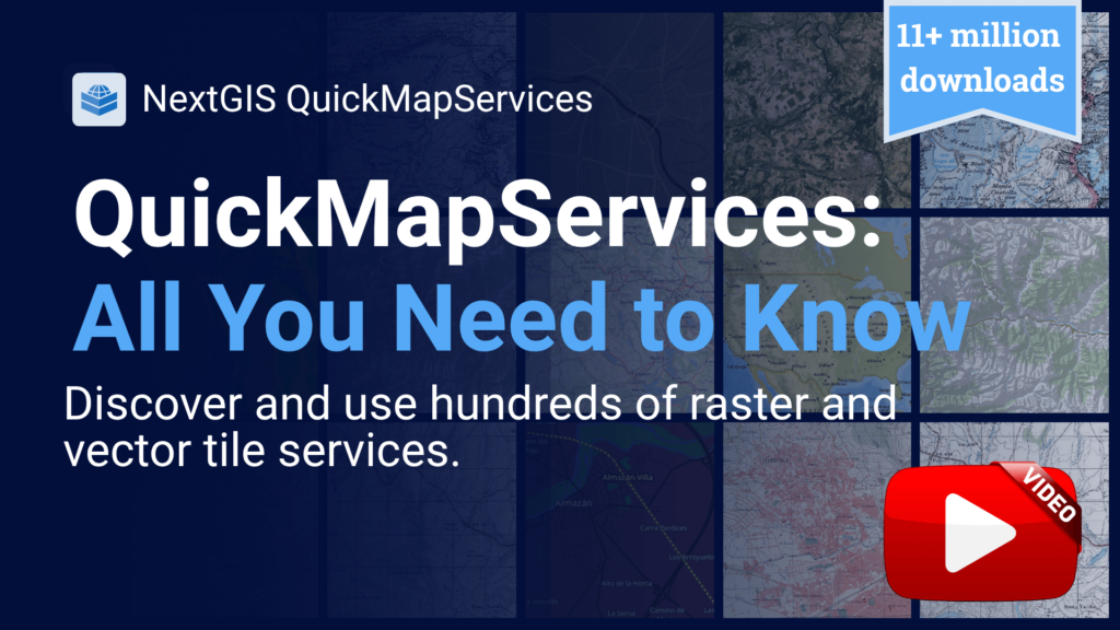
QuickMapServices is the most downloaded plugin in the QGIS ecosystem – 11.36 million times and counting. Here is everything you need to get the most out of it, from the search catalog to vector tile basemaps and contributing your own service.
YouTube Video | QuickMapServices Catalog
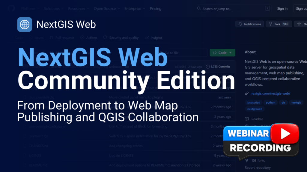
NextGIS Web Community Edition is the self-hosted, open-source edition of the NextGIS platform – and as the dedicated webinar recording shows, getting your own instance up and running takes about 15 minutes using Docker.
Watch – in English or Spanish – how to deploy, manage data, and integrate with QGIS. An extended presentation on Community Edition was also delivered at QGIS Open Day and is available on the QGIS YouTube channel.
English Webinar Recording | Spanish Webinar Recording | QGIS Open Day Webinar Recording
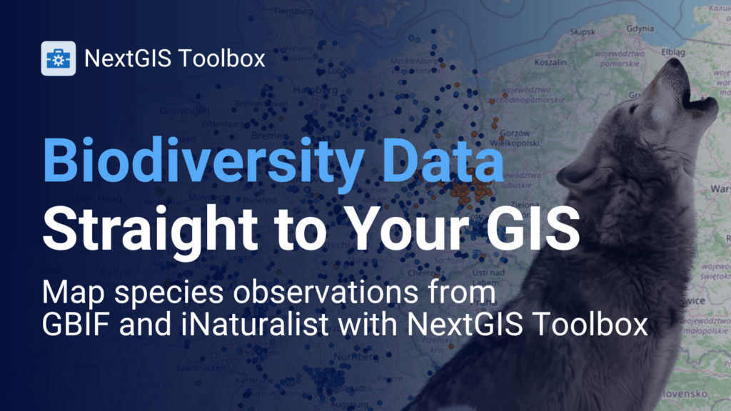
Ecological surveys and species monitoring generate valuable spatial data, but moving it into a GIS usually means manual downloads and format juggling. NextGIS Toolbox lets you pull species observation records directly from iNaturalist and GBIF into your project in a few clicks. The blog post walks through a practical example from query to mapped result.
Blog Article | GBIF Tool | iNaturalist Tool
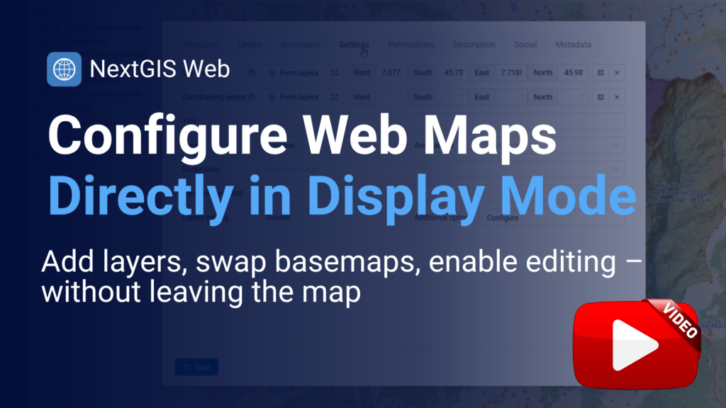
A small change with a real impact on daily workflow. NextGIS Web now lets you modify any web map – add layers, swap basemaps, enable feature editing – directly from a new panel in display mode. No more switching back to the admin interface for every adjustment.
Eduard has been writing outside nextgis.com this month. Two pieces worth bookmarking:
Medium: From desktop GIS to team collaboration: setting up a shared QGIS workspace – a practical walkthrough of moving from single-user QGIS to a shared workspace with centralized data, synchronized edits, and role-based access.
DEV Community: Deploy your own open-source Web GIS server instance on a VPS in 15 minutes with Docker – a step-by-step guide to deploying your own NextGIS Web instance on a VPS in 15 minutes using Docker.
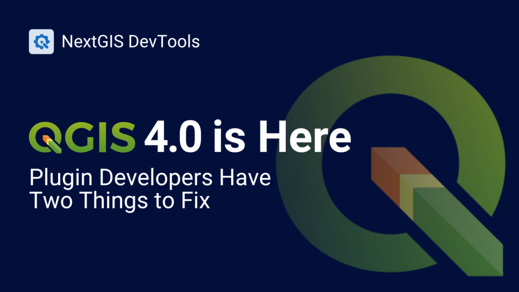
QGIS 4 will break plugins that haven’t been updated. The DevTools plugin lets you check your code against the new API now, before the migration becomes urgent. The article covers what’s changing, how DevTools flags incompatibilities, and what a compliant plugin looks like.
Blog Article | QGIS DevTools Plugin | Documentation
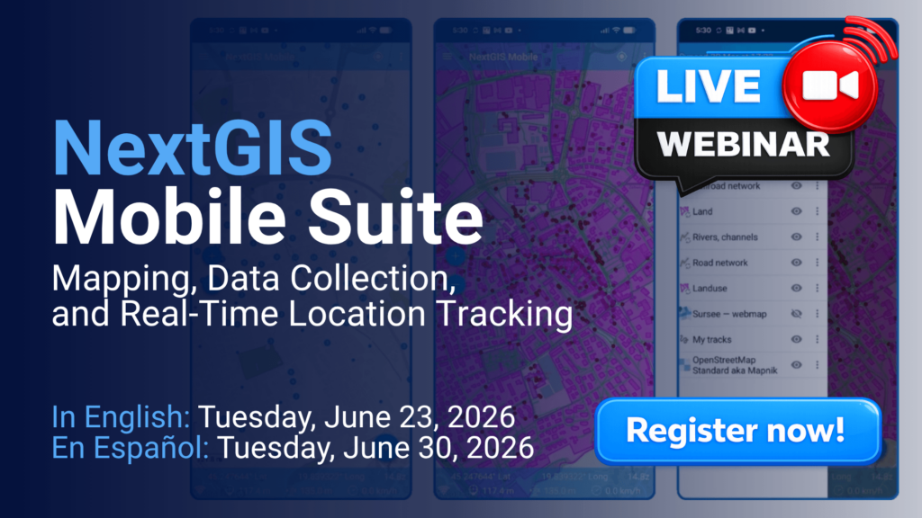
Field data collection, real-time tracking, and mobile GIS can be complex to coordinate — but the workflow doesn’t have to be. In this free webinar, we’ll demonstrate how NextGIS Mobile, NextGIS Collector, and NextGIS Tracker work together to support teams in the field, from structured data collection to live location monitoring and synchronization with your office GIS. Relevant for anyone managing infrastructure, environmental assets, utilities, or municipal field operations.
Check the start time in your local time zone on the registration pages.
Register in English | Registrarse en español
Is your country’s national mapping service in the QuickMapServices catalog? If it’s missing, adding it only takes a few minutes – and makes it discoverable to more than 11 million users worldwide. Open the catalog and hit Add Service in the upper right corner.


