Lots of data on the status of landscape and biological diversity of Taimyr were collected throughout UNDP/GEF project “Conservation and sustainable use of biological diversity in Russia’s Taymir Peninsula: Maintaining connectivity across the landscape” (official project page). At the concluding stages of the project there was a goal to combine and present the results of the project, in particular, the data on monitoring of wild animal populations and state of landscapes as a set of thematic layers in GIS. This GIS is intended to be used by regional specialists of Administation of Taimyr Municipal Region (TMR), specialists from protected areas and decision makers from conservation field.
The necessity to create such GIS as quickly as possible was confirmed by Administration of TMR. During recent years, landscapes of Taimyr are actively being used for various purposes, from farming to oil and gas extraction and exploration. These proceses are always preceeded by formal transfer of the land to a different type of use, including multiyear leases. Exploitaion unavoidably lead to serious disturbances and the recovery of nature of Taimyr is made very difficult by lack of information on its fauna and landscape complexes. Project’s results organized as GIS give an opportunity to assess the value of a specific localities from landscape and biological diversity standpoint.
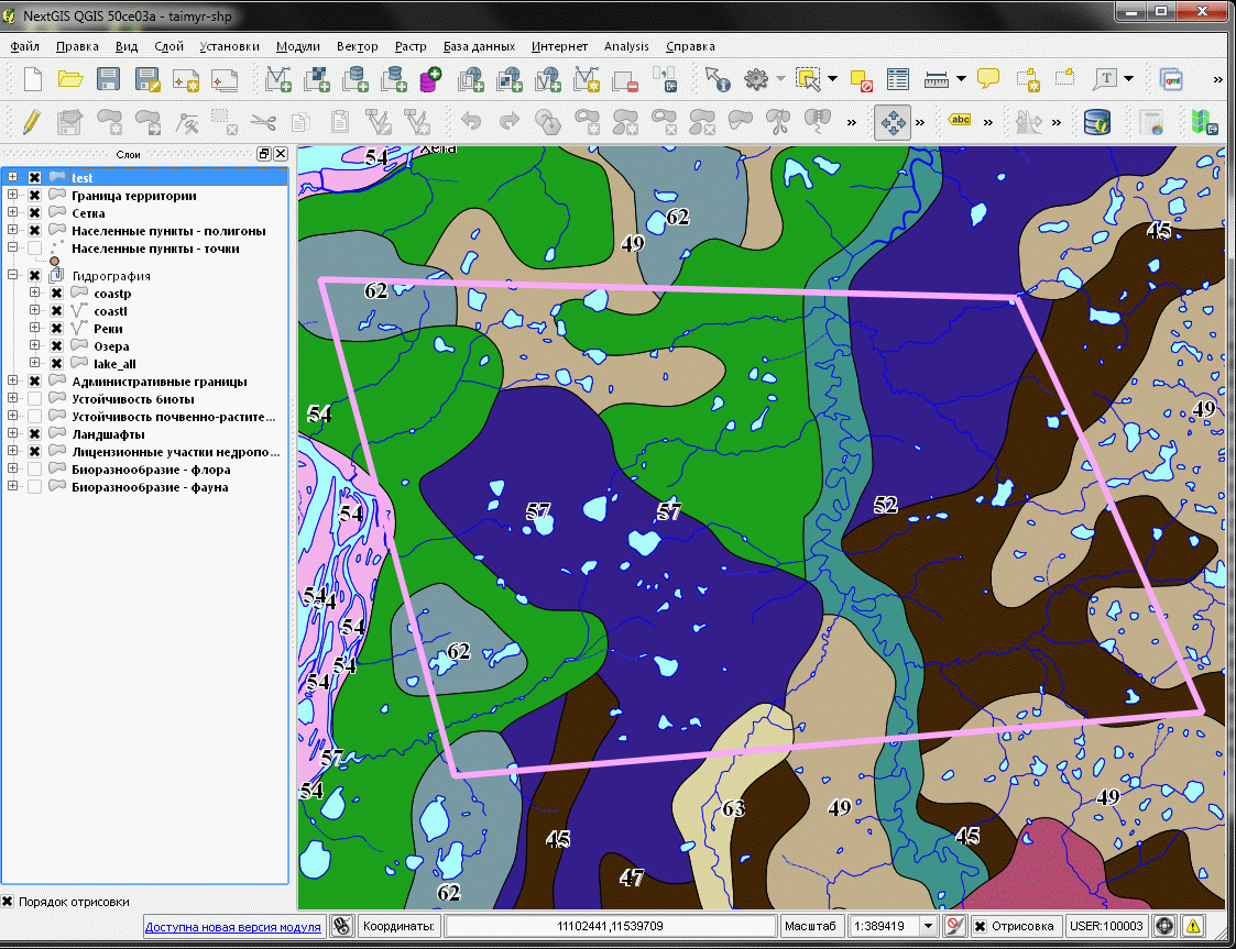
For such assessment a simple methodology was developed by biodiversity and landscape experts. It involves assigning known parameters of biotic and abiotic components to each landscape cluster. This methodology allows to determine an approximate value of specific localities based on several factors – presence of redlisted species and animals and plants, structure of populations of industrially hunted species, productivity of reindeer pastures etc., given the access to source data. As a result, specific localities are assigned a class showing value of a landscape cluster.
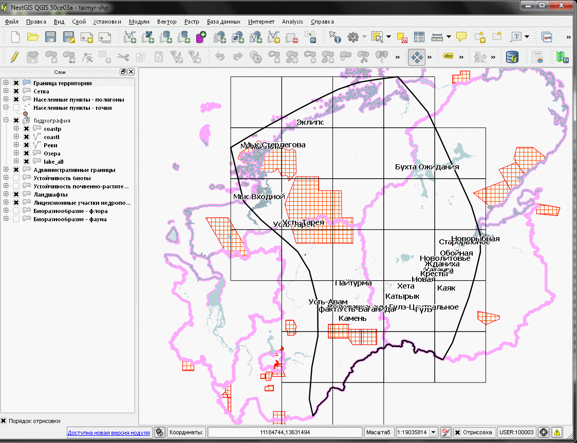
During the project, all collected data were organized as a single GIS project, based on opensource NextGIS QGIS software. This software is not limited in terms of distribution and this allows broad dissemination of resulting GIS.
Software that was used allows:
Currently, besides basemaps, GIS includes the following thematic layers (created during UNDP/GEF project):
Data layers will be expanded geographically and new data layers will be added in the future.
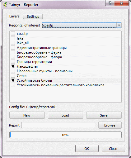
To support decision making usinf the collected data we have also developed a custom plugin for QGIS. The plugin is free and open-source as QGIS itself.
Using developed plugin, it is possible for specific locality for each layer of the project to: