Create and edit geodata in NextGIS QGIS
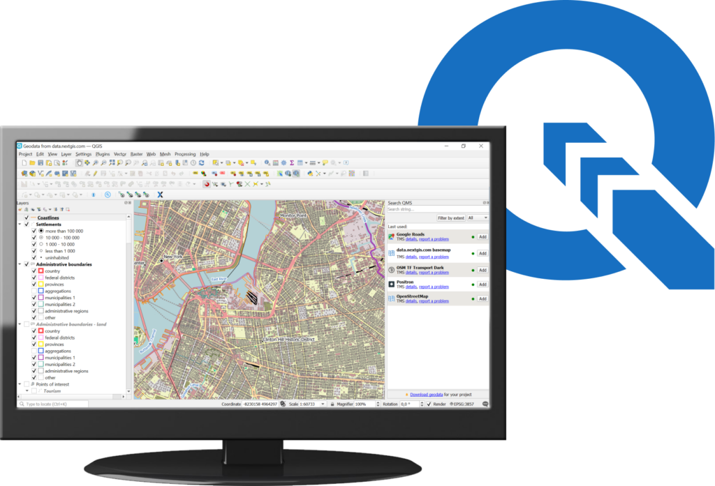
NextGIS QGIS is a full-featured desktop GIS for creating and editing data, producing maps and performing analysis.
QGIS is being actively developed by the international community, including the NextGIS Team.
The trial version is free, you only need to register. Pro-version with additional tools and support is available with Premium subscription.
Start with the trial version
- Handy installer with a completely redesigned set of packages
- Latest version of our original plugins, pre-configured for your convenience (NextGIS Connect, QuickMapServices, Identify+)
- Integration with nextgis.com
|
|
You can install NextGIS QGIS first and then buy Premium. Or, you can buy Premium first and then install NextGIS QGIS. Subscriptions are managed in your account. |
Upgrade to the Pro version with Premium
- Handy installer with a completely redesigned set of packages
- Latest version of our original plugins, pre-configured for your convenience (NextGIS Connect, QuickMapServices, Identify+)
- Integration with nextgis.com
- Error reports are sent automatically, which ensures quick fixes
- Technical support
Download the installer for 64-bit Windows
To activate the features of the Pro version, in NextGIS QGIS login using the NextGIS Account button ![]() on the toolbar.
on the toolbar.

Expand your scope with NextGIS QGIS
With a Premium subscription, you can also create your own Web GIS to publish maps online and share data with colleagues.
Buy Premium