
NextGIS Web now supports vector tile basemaps! You can add them to your web maps using a service URL or find a suitable basemap directly in the QuickMapServices (QMS) catalog.
Vector tiles are becoming increasingly popular as an alternative to traditional raster basemaps. Instead of delivering pre-rendered map images, vector tile services provide geographic data that is rendered directly in the browser. This allows for sharp, high-quality maps at different zoom levels and opens up more possibilities for cartographic styling.
With the latest NextGIS Web update, you can use vector tile basemaps alongside traditional raster basemaps in your web maps.
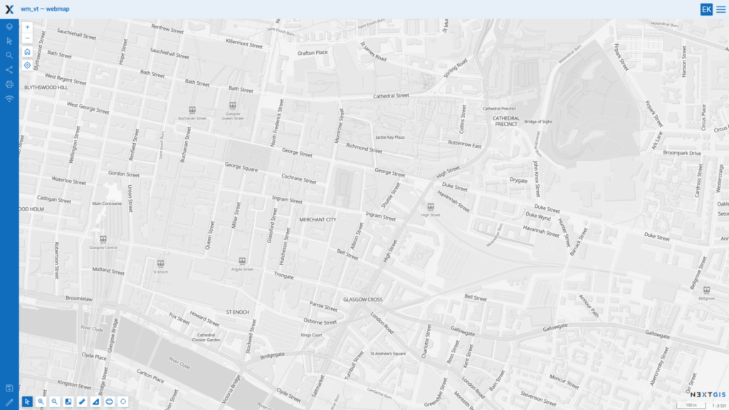
VersaTiles Graybeard vector tile basemap in NextGIS Web interface
There is no need to search for service URLs manually. NextGIS Web is integrated with QuickMapServices, our open catalog of more than 1200 geospatial services.
To add a vector tile basemap:
That’s it! Your vector tile basemap is now available in the web map.
We recently introduced vector tile support and an interactive map view in the QMS catalog.
You can explore available services on an interactive map, compare their appearance, and check their geographic coverage before adding them to your project.
The catalog already includes various vector basemap styles, including light, dark, colorful, and terrain-oriented maps from providers such as OpenFreeMap and VersaTiles.
And since QMS is a community-driven catalog, you can contribute your own vector tile services and make them available to other GIS users.
Explore vector tile basemaps in QMS
Whether you’re building a public-facing web map or an internal GIS application, you now have more options for choosing the right basemap.
Black Friday
50% off NextGIS spatial data and cloud subscriptions. Follow us on LinkedIn to be notified when the promotion starts.


