Happy to share the latest updates of our platform!
Our biggest news is NextGIS Connect for QGIS 3! Work with your Web GIS from the latest versions of QGIS 3. Use the hottest QGIS features, customize maps using all available styling methods, publish to NextGIS Web in a couple of clicks.
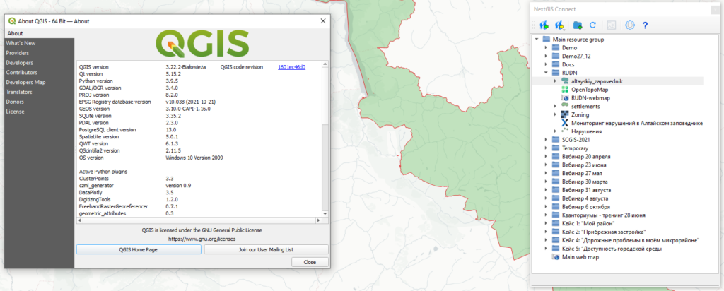
In addition to publishing projects or individual QGIS layers on the web, the plugin offers simple to use tools for creating WMS and WFS services and connecting to them in one click. The plugin is already in the standard repository of QGIS extensions, try it out!
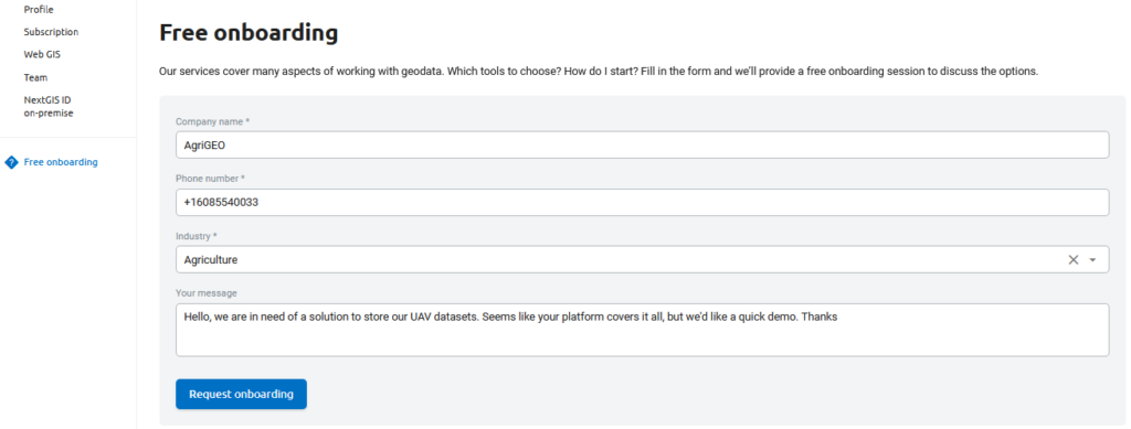
Visit you profile at my.nextgis.com and sign up for free onboarding if you need an advice or quick demo on using NextGIS tools.
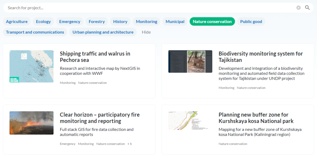
А new convenient way to browse through our projects in different fields! New version of our projects listing allows filtering by industry and a full-text searching.
The modern Cloud Optimized GeoTIFF standard opens up new horizons when working with rasters in Web GIS, and now its full support is provided in NextGIS Web. The rasters published in this way, even very large ones, are connected to external applications conveniently and efficiently. Details.
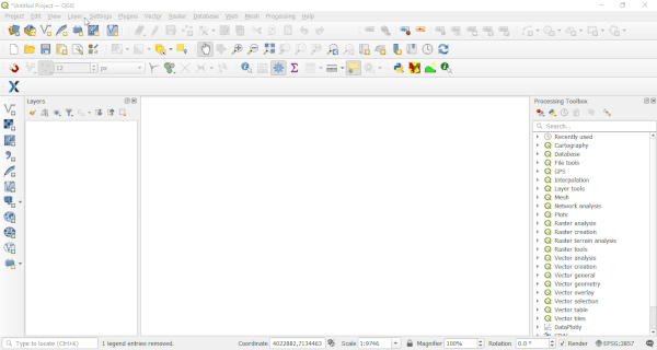
Adding a COG raster from NGW to QGIS
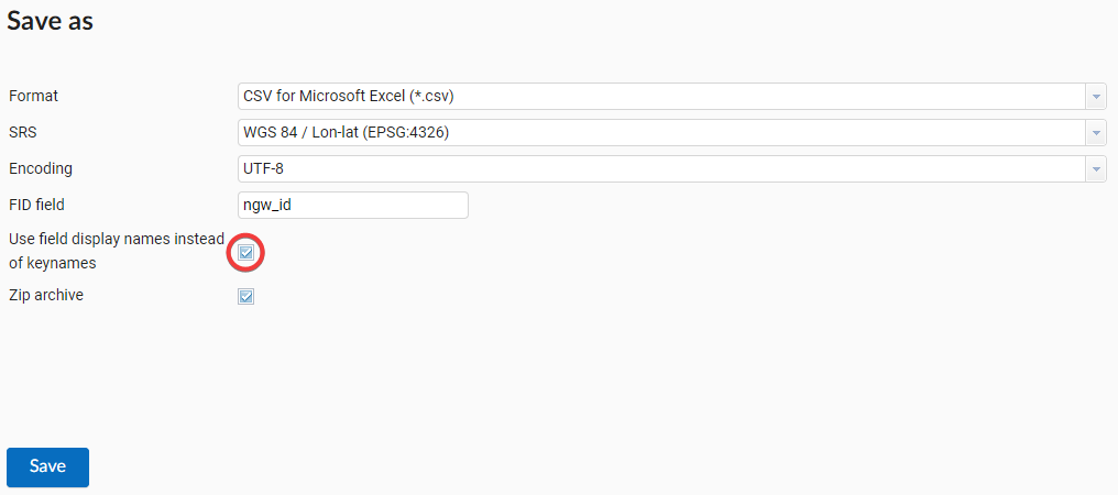
When exporting a vector layer, it became possible to use aliases instead of the original field names, which were set by you in the NextGIS Web interface or when loading the form from Formbuilder. No more confusion when uploading data to Excel spreadsheets and other exchange formats!
When connecting to a WFS service published in NextGIS Web, it is now possible to filter objects on the server side directly in the request. Filtering can save a lot of time and traffic when working with big datasets.
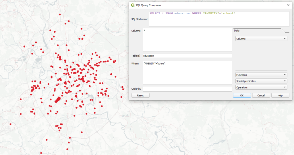
The SQL query to the WFS layer is executed on the server. The client application receives only the necessary objects
With Connect, you can either upload a COG raster to a Web GIS, or add it from there to a QGIS project without unnecessary difficulties.
Our cloud geoprocessing collection of instruments – toolbox.nextgis.com continues to improve. Most notable updates:
We hope you will enjoy the new features of the NextGIS platform! We will continue to work on improving performance, developing functionality and fixing bugs!
Let us know if you’d like a fully-functional trial or any questions.


