
Release date: 2026-10-22
NextGIS Web Community Edition is an open source, officially supported Docker image that lets any team deploy a fully functional NextGIS Web instance on their own infrastructure.
Version 26.10.0 has been released. Check out the visual changelog.
You can now enable statistics for selected fields in a vector layer. View minimum, maximum, and sum values that respect active text, advanced, and spatial filters, making it easy to compare values across different areas.
Web maps now support vector tile basemaps. Enter the appropriate URL when creating a Basemap resource, or find a basemap using QMS search.
Configure search sources, layers, and navigation mode. Search results are now grouped by layer, and you can open a feature’s identification panel directly from the results.
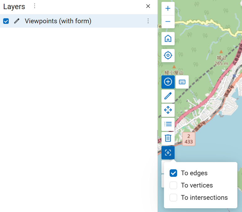
Configure snapping behavior when editing features on a web map by selecting the appropriate snapping mode.
Read the blog | Watch the video
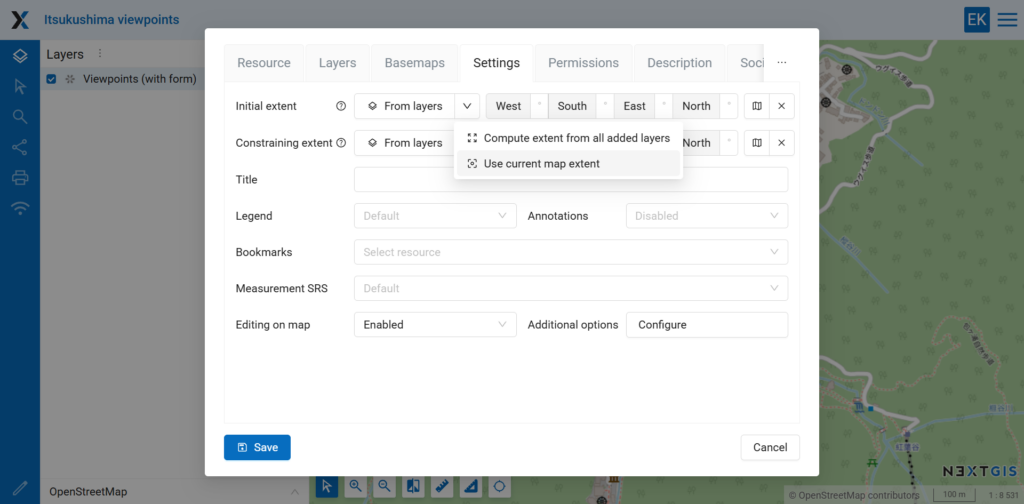
You can now set the web map extent using the current map view.
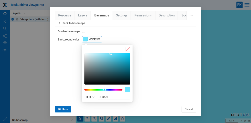
You can now customize the background color of a web map.
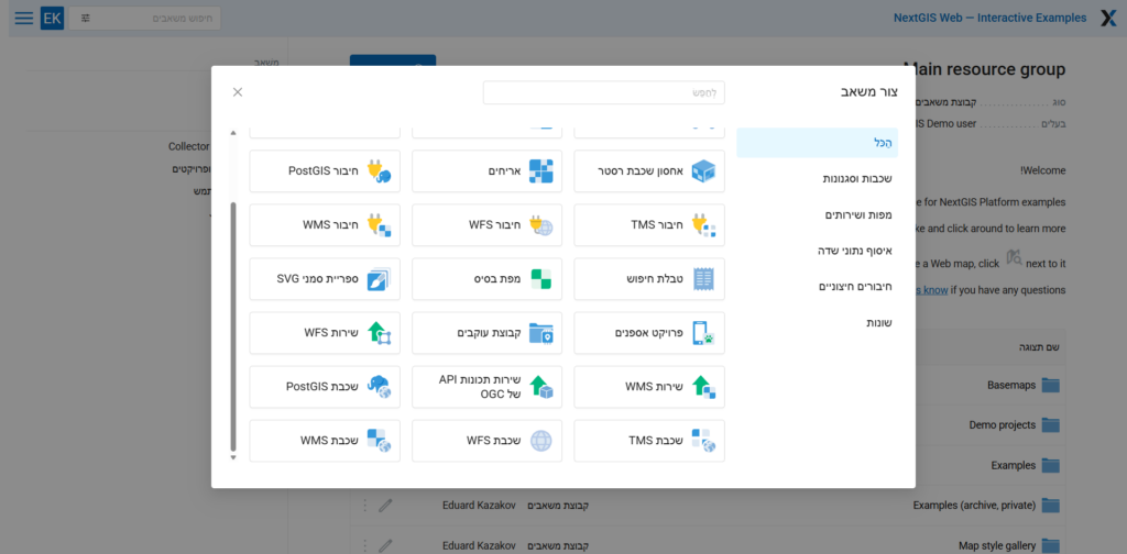
Improved right-to-left interface support for users of languages such as Hebrew.
NextGIS Web now includes fonts covering writing systems from around the world, providing broader character support in map labels by default.
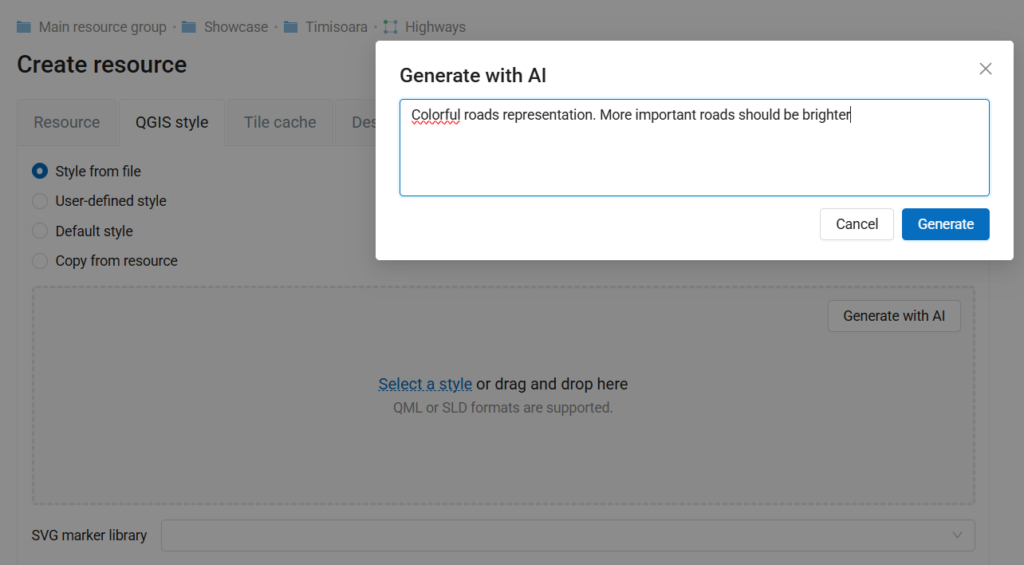
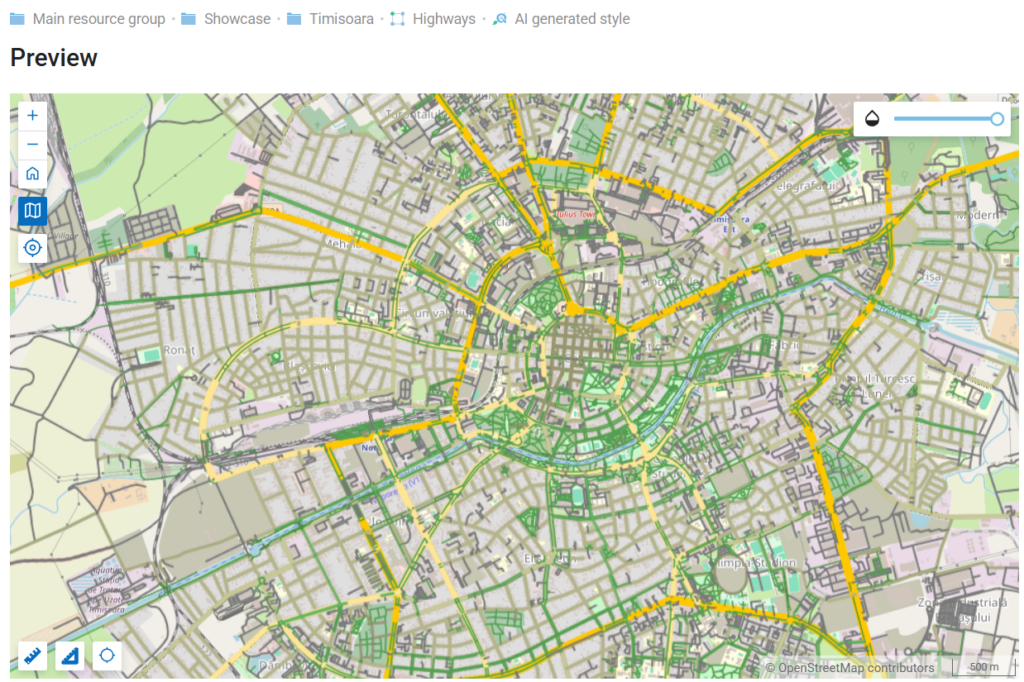
Generate styles by describing what you need in an AI prompt.
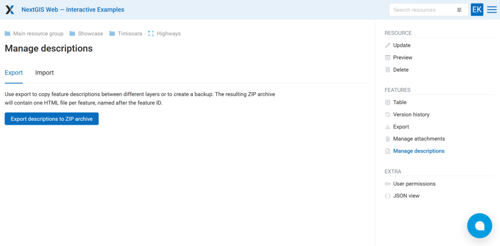
You can now export and import feature descriptions, just as you can with attachments.
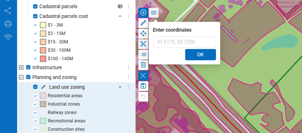
When creating features on a web map, you can now enter vertex coordinates using the keyboard.
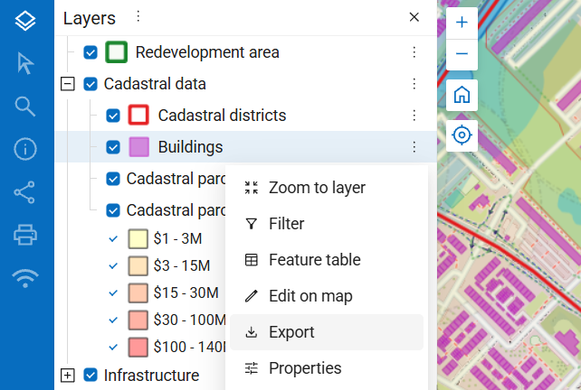
Export a layer directly from its context menu.
Reworked raster pixel identification to account for the current map scale.
Need advanced features, professional deployment assistance, or technical support for NextGIS Web?
Consider our cloud or on-premises solutions.


