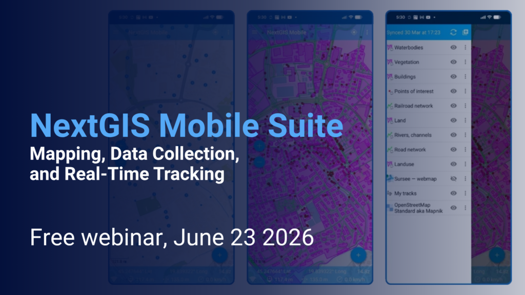
Field data collection and mobile workforce management are essential components of modern GIS infrastructure. In this webinar, we will explore the NextGIS mobile ecosystem and demonstrate how organisations can collect, edit, monitor, and synchronize geospatial data directly from the field.
We’ll cover three applications:
Through practical demonstrations, you’ll learn how these applications integrate with the NextGIS platform, support offline workflows, synchronize field updates, and help teams maintain accurate and up-to-date spatial information.
Whether you’re managing infrastructure, environmental monitoring, municipal assets, utilities, or field surveys, this webinar will provide a comprehensive overview of how NextGIS mobile applications can support your GIS operations from field to office.
Duration: 45–60 minutes
Audience: GIS professionals, surveyors, municipalities, utility companies, environmental organizations, and anyone interested in mobile GIS workflows.
Register for free to get the link.
In English: https://events.nextgis.com/event/32543
In Spanish: https://events.nextgis.com/event/32551