In 2020, we started working on the creation and integration of a “Biodiversity monitoring and automated field data collection System” for National biodiversity and biosafety center (NBBC) of Tajikistan Republic. The project under UN Development Program was designed to raise national processes on wild animals monitoring to a new technological level.
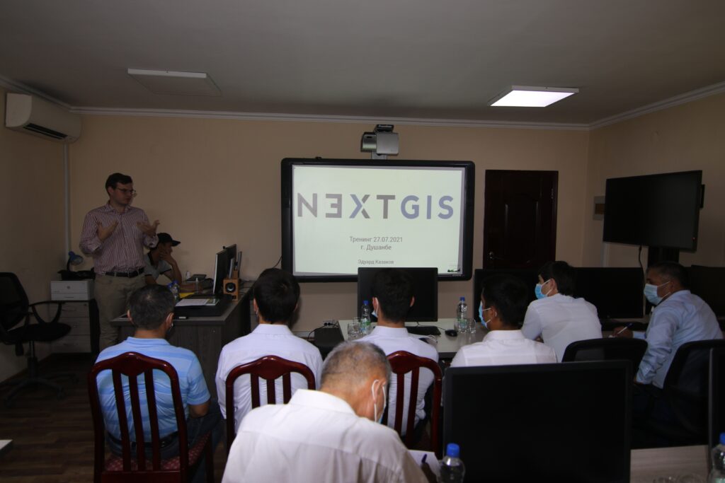
NextGIS at final workshop in Dushanbe
The project was carried out in six stages, from the study of existing environmental monitoring information systems in the Republic to the integration of a new one developed in NextGIS. In the second half of 2021, field tests were conducted in the territories of protected areas of Tajikistan, and we were very pleased and proud to see how modern geoinformation technologies raise the entire organization of wildlife monitoring processes to a new level.
The monitoring system itself is based on our technology NextGIS Collector, providing all stages of the field geodata collection: setting up user forms, creating a database on a Web GIS server, assigning collectors and recording observations on mobile devices.
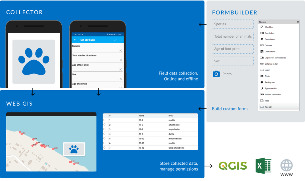
Outline of NextGIS Collector technology
Learn more about NextGIS Collector:
Special improvements were made for the NBBC. For example, we add full multi-language support in the mobile application and forms:
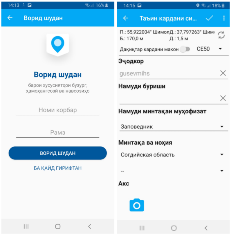
Collector interface and forms in Tajik
The language is selected automatically depending on the settings of the mobile device. So, if an English-speaking collector is connected to the project, he will work with the forms in English, and the Tajik collector will see them in Tajik.
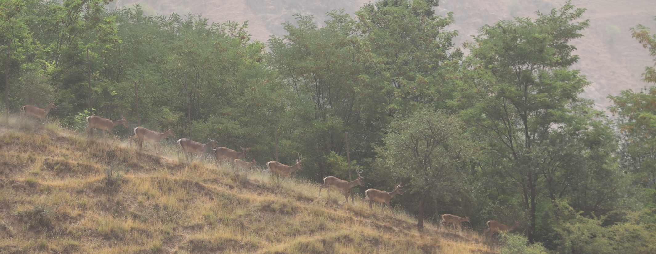
During the final workshop, more than 30 rangers and researchers from various protected areas and institutes of Tajikistan attended a full course on working with all components of the system, and went to the territory of the Ramit State Nature Reserve to check data collection mechanisms in the field. The participants were lucky to meet several wild animals, including several groups of rare Bukhara deer. The facts of the meetings were immediately recorded in NextGIS Collector:
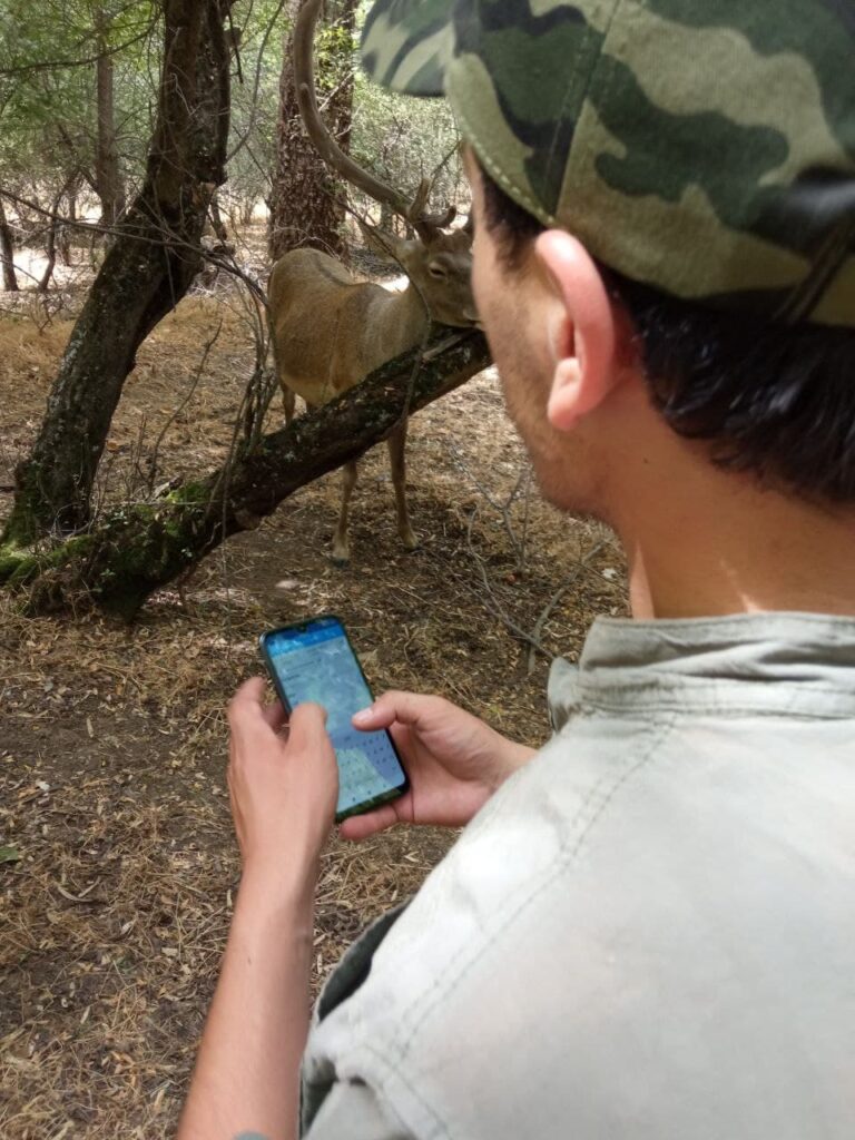
Bukhara deer and the moment of recording the meeting in NextGIS Collector
When the mobile coverage was good enough, collected points were automatically sent to web maps in Web GIS along with photos, so that the monitoring center promptly received accurate information about meeting places and all related information.
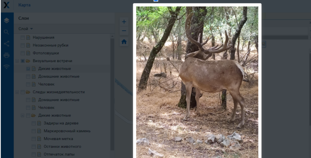
A web map with an opened photo of one of the points
We put a lot of effort into making the process of collecting geodata (in particular for wildlife monitoring) easier, more efficient and technologically advanced. Successful projects, such as the biodiversity monitoring system in the Republic of Tajikistan, encourage us to keep improving and innovating. We thank our colleagues for their trust and collaboration!
We will be happy to help you with implementing data collection framework in your organization. Feel free to contact us at: info@nextgis.com


