Please join us in welcoming the new addition to our products — NextGIS Toolbox!
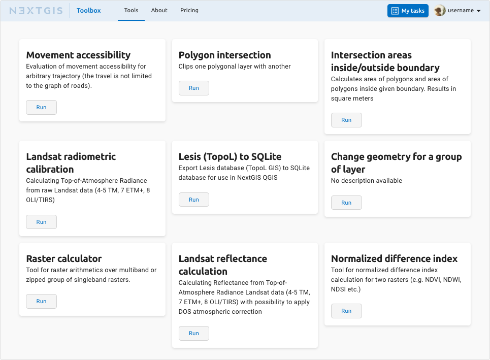
NextGIS Toolbox is an ever-growing collection of tools for solving spatial data processing tasks. Each tool is designed to solve a specific problem.
The goal of NextGIS Toolbox is to standardize and simplify the use of small tools for geodata processing. The user no longer needs to think about where the scripts are located, how they are launched, what parameters are used. We cover the creation and support of the operability of the tools.
The processing tasks may vary. From simple, for example, extracting heights from a digital elevation model at points, to more complex, associated with the simultaneous processing or creation of several layers of information with a large number of parameters, for example, to create various rectangular grids.
Here are some more examples of what you can do with the Toolbox:
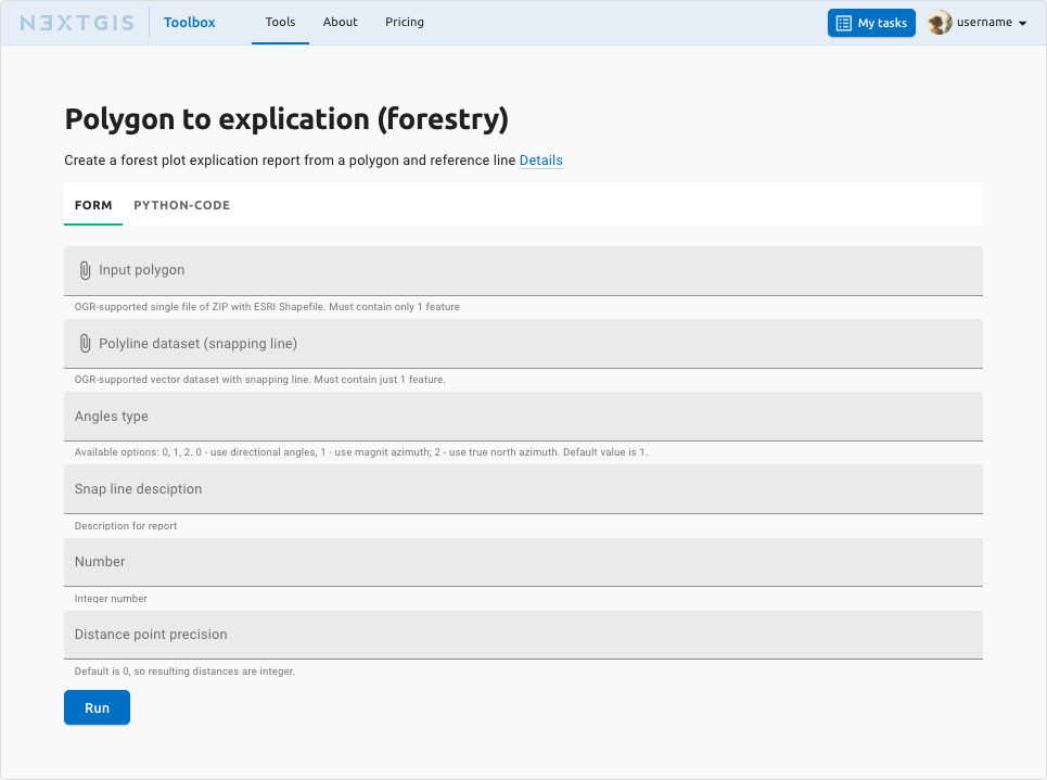
No software other than a web browser is needed to run any tool. A tool is represented by a simple form.
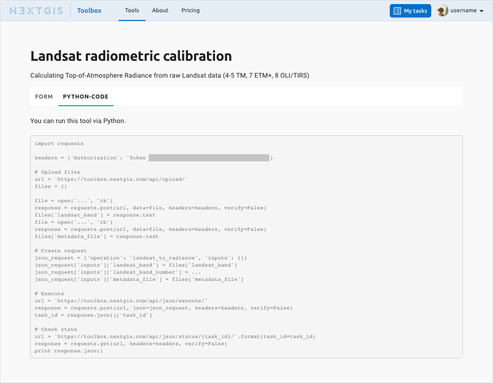
If you are a developer, you can run NextGIS Toolbox instruments from your program.
Each tool is accompanied by a sample of a Python code to run it. All tools are run in the same way.
Input data and results depend on the instrument.
The inputs can be:
The outputs can be:
If some type of input or output is missing for a particular tool, we can add it.
The «Dynamic Map of Russia’s Borders» project required the use of rather complex technical solutions transforming «raw» historical and geographical data into a web map. Each update of «raw» geodata entailed redrawing of the target layers required by the frontend.
Initially, it had to be done in scripts, but the automated launch of the data preparation tool with the construction of the polygon topology, which NextGIS developed, allowed us to be independent when we run the process, not thinking about script support.
NextGIS Toolbox currently provides access to over 40 tools. The list is constantly growing. An unlimited number of NextGIS Toolbox runs is available to users of our Premium plan.
Sign up to run NextGIS Toolbox instruments right away!


