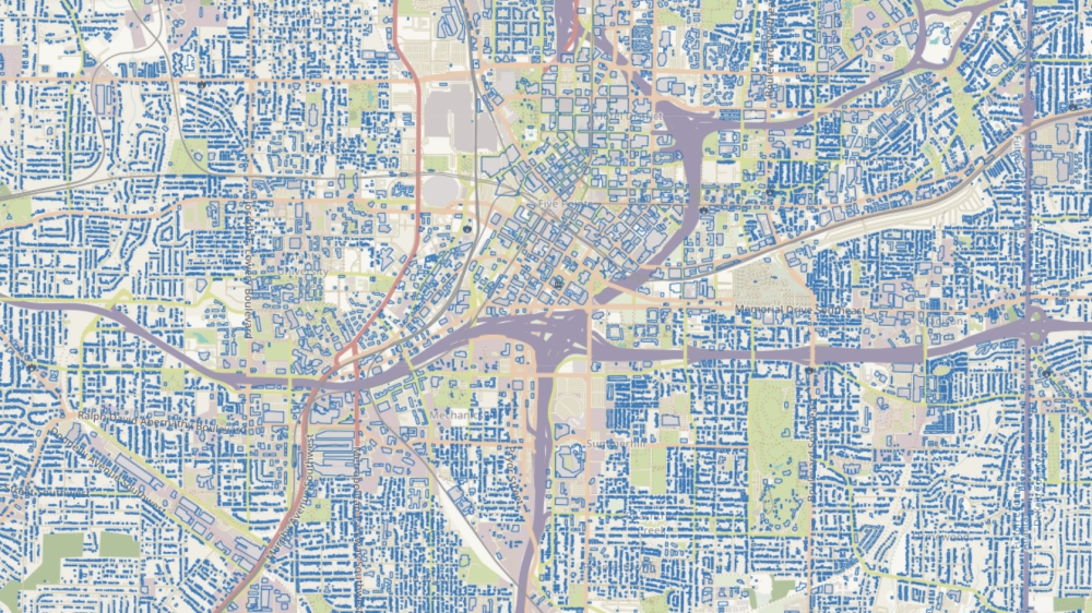
We have added 1.2 billion buildings on NextGIS Data!
The data was prepared by Microsoft Corporation using AI-assisted analysis of satellite data. For some regions, this dataset contains ten times more buildings than OpenStreetMap! NextGIS Data takes care of processing and conversion to provide a ready-to-use dataset for a small fee.
When you order building data, you get both the Microsoft data and a vector layer of buildings from OpenStreetMap. The two datasets from different sources effectively complement each other.
You choose the data format yourself – Shape, MapInfo, GeoPackage, PostGIS, and other formats are available. To place an order, select the desired city, region or country from the list. If you can’t find the area you want, use the search function or draw the area of interest manually on the map.
Order data