10 October 2022
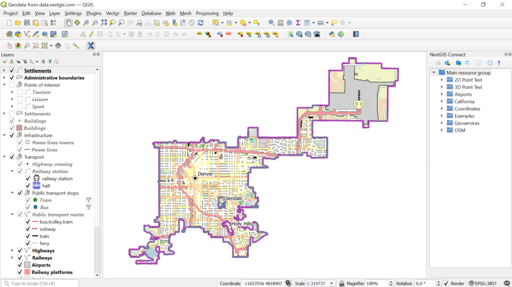
Geodata for your city at NextGIS Data

NextGIS Data now covers cities of the world. You can order and receive spatial data for your exact city boundary.
For our catalog, we’ve selected 2000+ major cities.
If need a smaller city, town or even a village you can still order it using search. Check out this video for an instruction.
Available
for every city:
- Basemaps based on OpenStreetMap data (actual or historical back to 2009)
- Microsoft building data (1.2 billion buildings)
- Elevation, including contours with needed step
- Satellite imagery – cloud-free and seamless mosaics based on Sentinel
Order data