The main goal of the project was to create a convenient web-based system that allows to visualize thematic layers and photos on the map.
The project is operational and can be located at: http://map.rostmuseum.ru
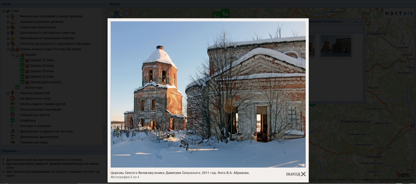
Currently system includes 39 layers and about 2000 photos. Some layers are combined into groups like “Physical geography and nature”, “Administrative divisions”, “Archeology”, “Important historical events”, “Churches” etc. Custom layers are visualized over Google Maps and Yandex Maps.

To show the layer it needs to be selected in the list. By clicking on any object of the layer the popup window appears showing 2 tabs: “Info” with text and “Photos” with photo previews. Clicking on the preview produces a viewer that allows to see current photo and list through all photos of the feature in their original size.
Besides viewing interface, the system includes administrative interface with many functions which allow to create new layers and objects, add features and photos.

All information is stored in relational database PostgreSQL. To store spatial data we use PostGIS, to transport features — WFS server (TinyOWS). Graphic user interface in built using GeoExt, which allows to combine functionality of ExtJS and OpenLayers.
Cultural legacy information system of Rostov regionis built for State Museum-Zapovednik “Rostovsky Kreml” (Kremlin of Rostov) and Pro-Nasledie group.


