Latest version of NextGIS Web (NGW) features significant improvements in the way raster data are stored, uploaded and visualized. It is now possible to upload and store rasters with any numeric type (Byte, Int16, Float32 etc.) and any number of bands and show them on the maps using advanced styles.
Until now one was able to upload only RGB or RGB(A) rasters. This limitation was due to a fact that raster style used previously was a simple ‘dummy’ that did allow any management of raster style parameters. This approach was OK for RGB(A) images, already optimized for viewing, such as UAV orthophotos.

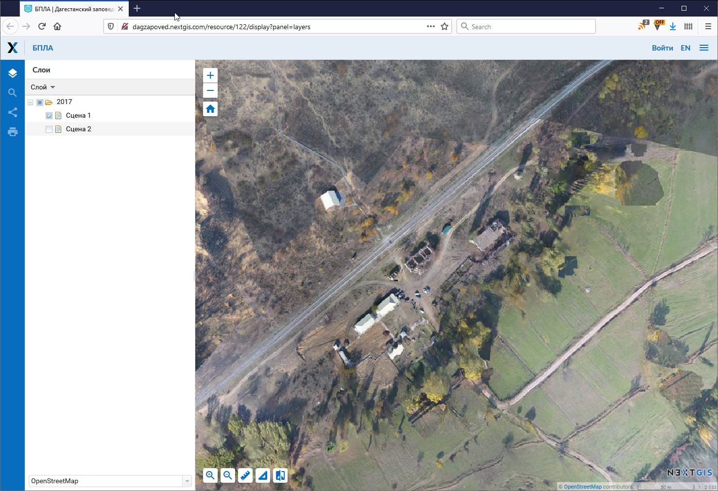
Sample UAV orthophoto for Dagestansky Nature Reserve, 30cm resolution.
This approach, while simple, didn’t allow users to upload and manage more complex rasters. Rasters with numeric type different from Byte (such as Float32), one- and multi-band rasters, all of them had to be converted to RGB(A) 8bit to show our maps.
Not anymore. Last version of NGW introduces new resource – “QGIS style”. Now rasters can be uploaded ‘as is’ and use QMS-file created in QGIS to manage their visualization settings. Exactly the same way it already works with vector layers and styles.
Already existing “Raster style” resource is preserved and will continue to work. For new raster you can choose to use any of the two raster styles. “Raster style” will be available only for RGB and RGBA Byte rasters and Web GIS won’t allow to choose it for others, while “QGIS Style” will be available for all rasters.
New style also supports pyramids for quick display.
NextGIS Web doesn’t have a limit on number of styles (representations) per layer. For one layer uou can upload multiple *.qml files with different visualization settings. This allows to save space keeping source raster in one copy and having as many representations as you’d like.

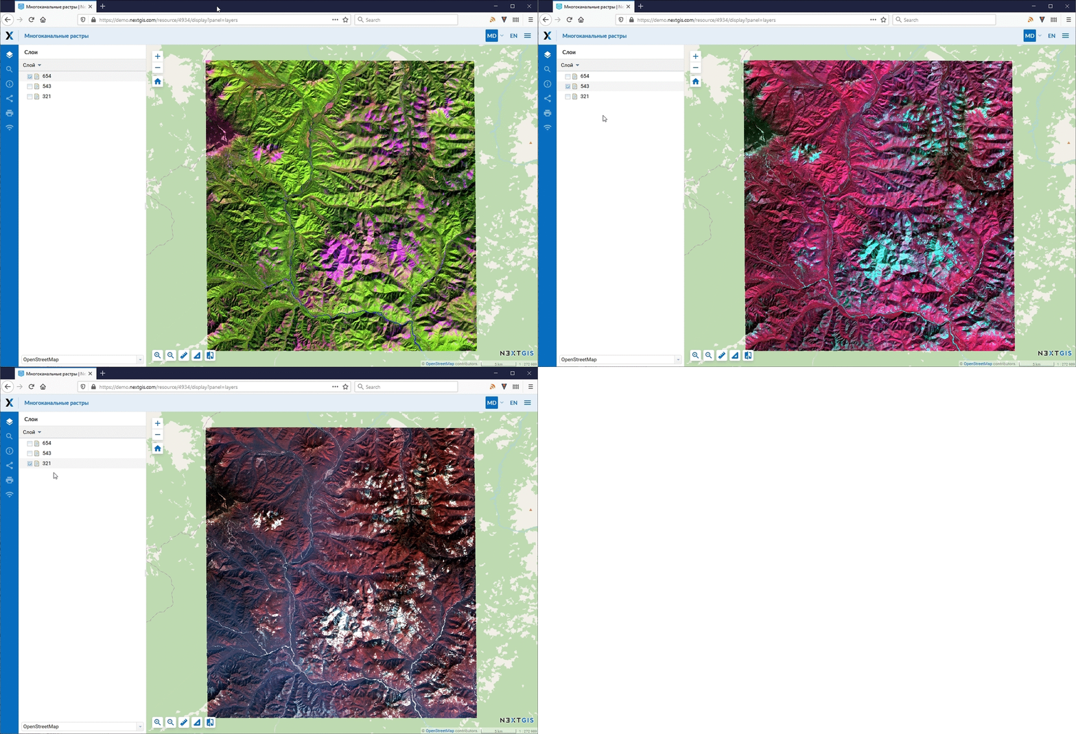
8-band Landsat image. Image is loaded ‘as is’ and shown as three different representations. 654, 543 and 321 band combinations.
This functionality is available on all plans. Sign up for Premium to get lots of additional tools + support.