Organizations nowadays are creating lots of data, and it is becoming more and more common to have an open data portal to provide access to these data. However, with few exceptions those data portals have poor functionality in regard of spatial data.
We currently have solid open-source packages for building open data portals, such as CKAN and DKAN. But their spatial capabilities are again suboptimal.
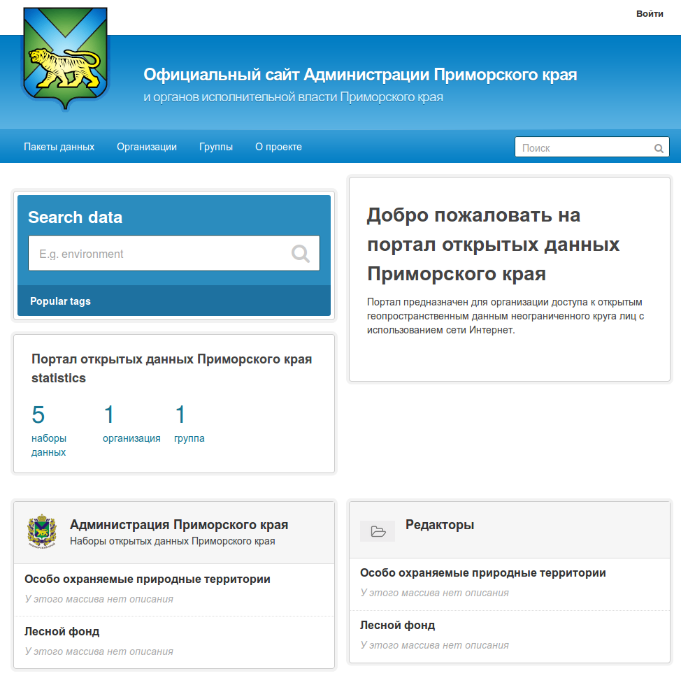
In our latest project developed together with WWF and Administration of Primorsky Krai we attempted to fix this situation and introduce an open data portal solution that works effectively with geodata. Our solution is built on top of CKAN and our server-side GIS NextGIS Web. All geodata are stored and managed in NextGIS Web and CKAN acts as a frontend and catalog.
You can try new portal in action here: http://opendata25.primorsky.ru/ckan
Our portal allows to publish data in the following formats (protocols):
Main functionality of the portal:
As we’re using NextGIS Web to deal with spatial data, the portal users get more functionality that is missing otherwise:
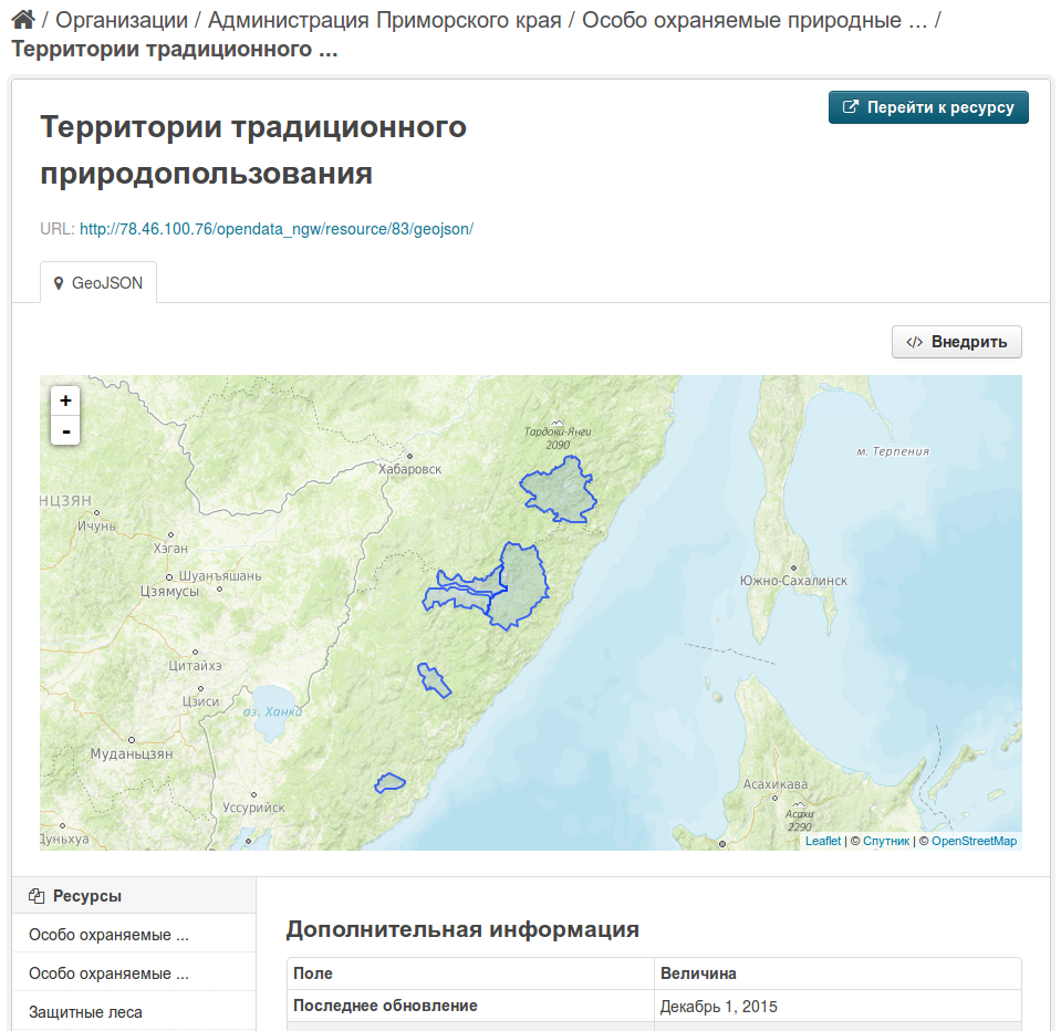
Portal is also using vector tiles for data distribution where data volumes are high. For example, forest management units layer consists of 22 thousand features occupying 116 Mb of space. Standard approaches would take considerable time to render and serve such layer as a whole. Vector tiles allow to deal with big datasets, speed up rendering and make working with the features more interactive. You can read more about our vector tiles implementation in this presentation.
Portal documentation is available here (PDF).
The project was developed under support of WWF for Administration of Primosky Krai.


