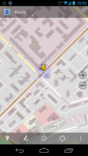
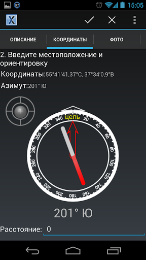
NextGIS is proud to announce the release of NextGIS Mobile, our own handheld GIS, developed to work with geodata in the field. Built for Android (version 2.2 and higher), this software is tightly integrated with NextGIS QGIS, giving NextGIS Mobile access to maps exported from QGIS and allowing it to export collected field data directly to QGIS.
NextGIS Mobile can:
▪ Show maps from both online and offline sources
▪ Navigate the map (zoom, pan, etc.)
▪ Work with field data (The software registers coordinates with stats to allow for more accurate estimation; more
detailed value descriptions (arbitrary or categorized); striking azimuthal photos; and notes.)
▪ Write tracks
▪ Show coordinates, speed, and altitude on the map
The source code is available through GitHub.
Read more about this tool in an article at GIS-Lab (Russian). Or, discuss this software on the forum.


