Valid data is an essential basis for making well-grounded conservation decisions. Thus, one should strive to avoid bias and imprecision from the very first step – data collection. Automating common processes within the monitoring of wildlife populations can significantly increase the accuracy of field data obtained.
Since 2018, the Altai-Sayan Branch of WWF Russia has been using the NextGIS Collector software package to collect data on snow leopards in the Altai, Tyva and Buryatia regions. Alexander Karnaukhov, Senior Project Coordinator for Biodiversity Conservation of the Altai-Sayan Branch, tells about the urgency of such a decision.
Before moving to NextGIS Collector, each specialist involved in monitoring the snow leopard collected data independently and interpreted criteria according to their own understanding. The lack of a unified design in data collection led to slight inconsistencies in the results. However it was enough to turn preparation of general reports into mission impossible.
Another problem was the duplication of data. Collectors working on the borders of contiguous areas could record the presence of the same individual, and this was not a rare situation. This led to an overestimation of the total number of snow leopards.
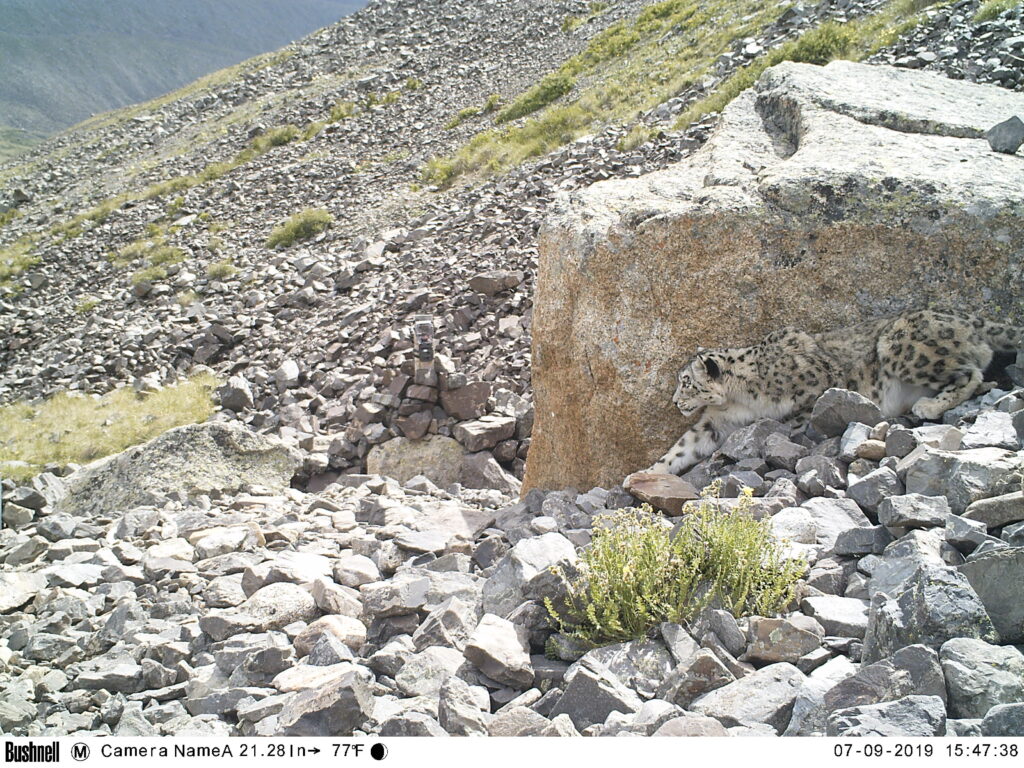
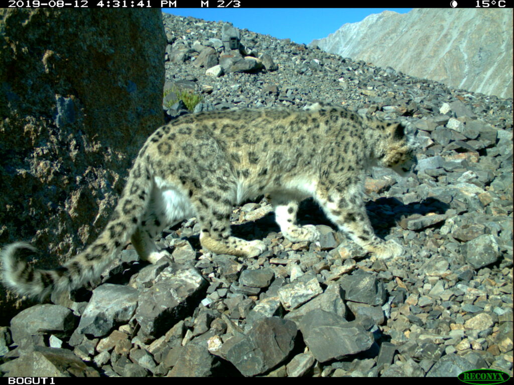
For example, on the Chikhachev Ridge, groups of specialists from the Altai and Tyva regions, as well as from Mongolia, worked separately, and the same male leopard was counted three times. We only discovered this mistake when we got together and began analyzing the images from the camera traps.
After identifying these obstacles, the WWF team decided to unify the data collection methodology. In 2018, WWF and NextGIS experts considered using the Collector technology for snow leopard surveys. As a result, a collection form was developed in the NextGIS Formbuilder desktop application.
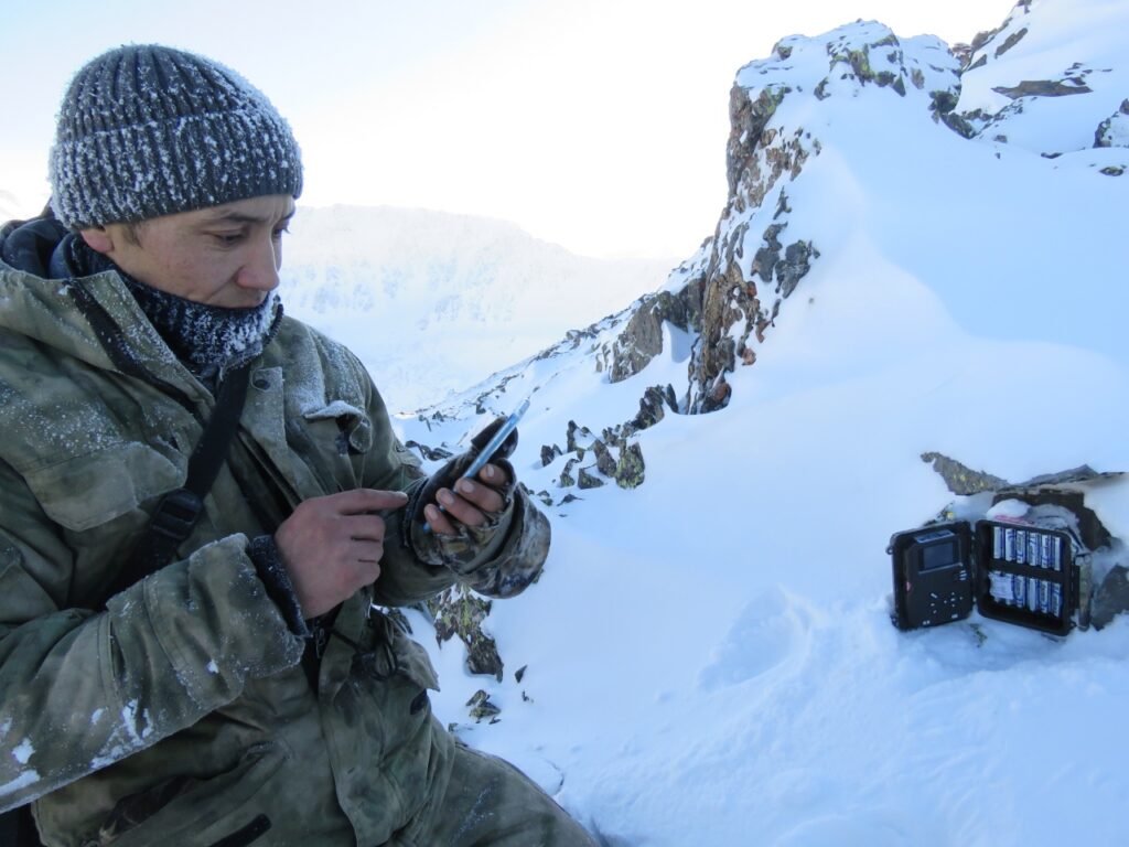
Now, team members can collect data with smartphones or tablets using a single scenario via the NextGIS Collector mobile app. Currently, 10 to 15 specialists are involved in the surveys.
If the internet is available, all data entered by the observers is automatically synchronized with the central database, which is the cloud GIS NextGIS Web. If there is no internet, the data is stored in the memory of the smartphone or tablet and will be synchronized with the Web GIS when the network appears.
The second and most important problem with snow leopard surveys was inaccuracies in location data. Manual data collection and several stages of data processing inevitably led to imprecisions that distorted the real picture of snow leopard distribution.
When we started using Collector, we finally got rid of paperwork while collecting data. Previously, when an observer spotted a mark, they turned on a navigator to see current coordinates and then wrote them down into a notebook, to be sure not to lose it. Upon returning to the office, they manually entered the field data into an Excel spreadsheet. The constant rewriting of the data led to errors, and errors in coordinates or no coordinates at all were the biggest problem for us.
Now locations are automatically determined by NextGIS Collector. This feature was implemented as a part of the form created in Formbuilder. Automatically obtained geographical coordinates completely solved the issue with the errors in spatial data.
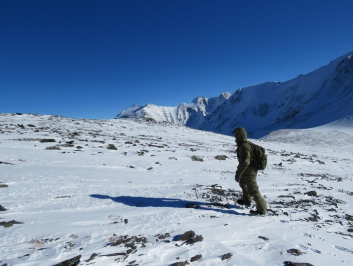
The Altai-Sayan Branch of WWF Russia conducts a snow leopard census every two years. This includes checking of all camera traps and recording of all snow leopard marks. Using NextGIS Collector for such massive surveys saves time, provides desired level of accuracy, makes data processing easy and visualization of results on a web maps – fast.
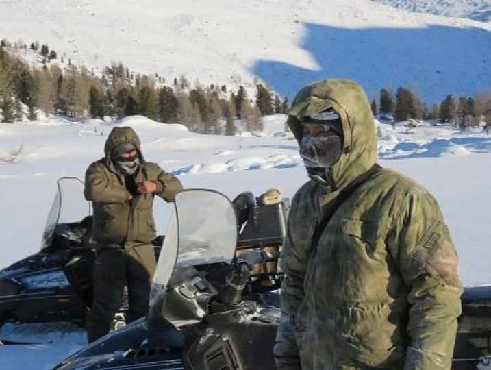
This project was a test of endurance and proved that NextGIS Collector package works steadily both in severe weather conditions and with a large number of participants.
The NextGIS Collector software has proven to be reliable and efficient even with a large number of participants, as over 100 people monitored the status of the snow leopard population using the software between 2017 and 2022 without any data loss. The software also ensured that all encountered marks had accurate and correct geographic coordinates. While there were some difficulties during the implementation of the new approach, adjustments were made quickly to address any issues that arose. The software is constantly improving, with feedback and ideas from experts being taken into account. In addition to monitoring, the software is also being used by rangers for their daily activities in protected areas of the Altai-Sayan Ecoregion, particularly in Sailugem National Park.
From 2018 to 2022:
Collected information is used for analysis of snow leopard spatial distribution. Another web service, NextGIS Toolbox, provides a tool that determines ratio of all encountered leopard marks per distance unit. After this step we can run various spatial analyses to compare separate groups of animals with each other and estimate their well-being.
More about NextGIS Collector