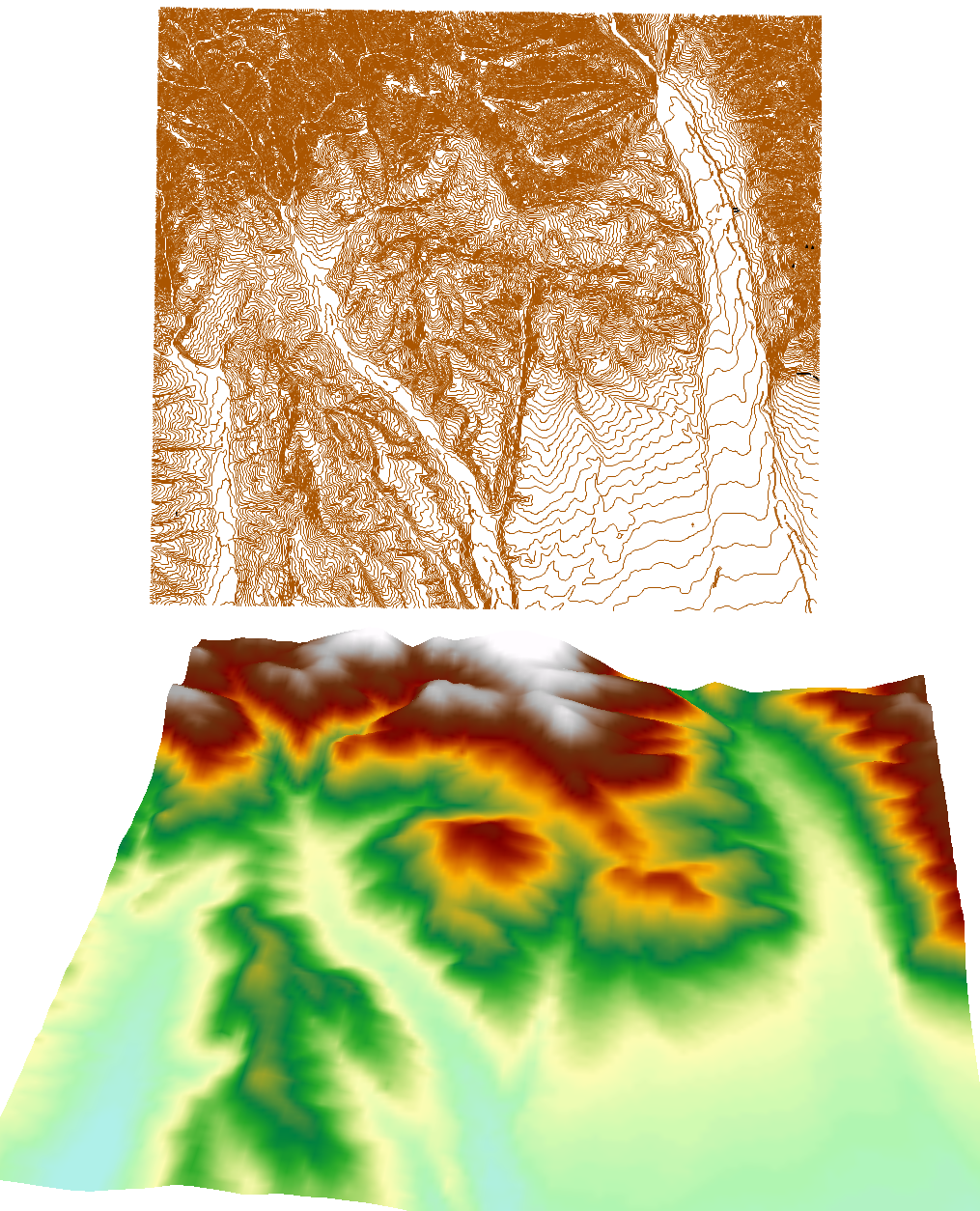
Thanks to our latest modifications gdal_grid is now capable of few new tricks. One of the main new features is the support of different geometries (before only points and multipoints were supported). It is also now possible to choose height offset and multiplier (z-factor). New version of gdal_grid is able to make DEMs from elevation isolines in one line:
gdal_grid -a invdist:power:1.5smoothing:1.0:radius1=500:radius2=500 -outsize 100 100 -of GTiff -ot Float64 -l isolines -zfield height c:\map.sxf c:\dem.tiff –config GDAL_NUM_THREADS ALL_CPUS
New modification are already available in GDAL 1.11. You can find the description of the tool at GDAL, Russian translation at ГИС-Лаб.
