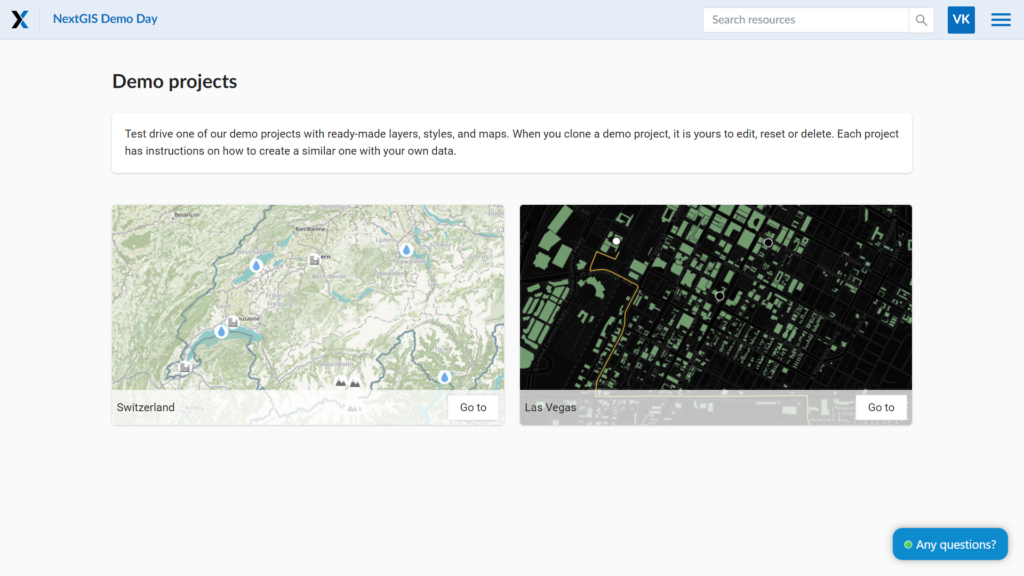
We’ve introduced demo projects to NextGIS Web. These mapping projects contain geodata and display their web maps. After creating your Web GIS, you can begin by adding one of the suggested projects. This will help you explore the functionality of NextGIS Web with real data.
The demo projects showcase:
You can find the demo projects in the menus of your Web GIS. Start by using the free plan. Once you’ve tested the projects, consider upgrading to Premium to unlock all the possibilities of working with geodata and maps.