QuickMapServices now supports geographic boundaries for services which opens new possibilities for QMS users.
1. Geographic search for services in QMS
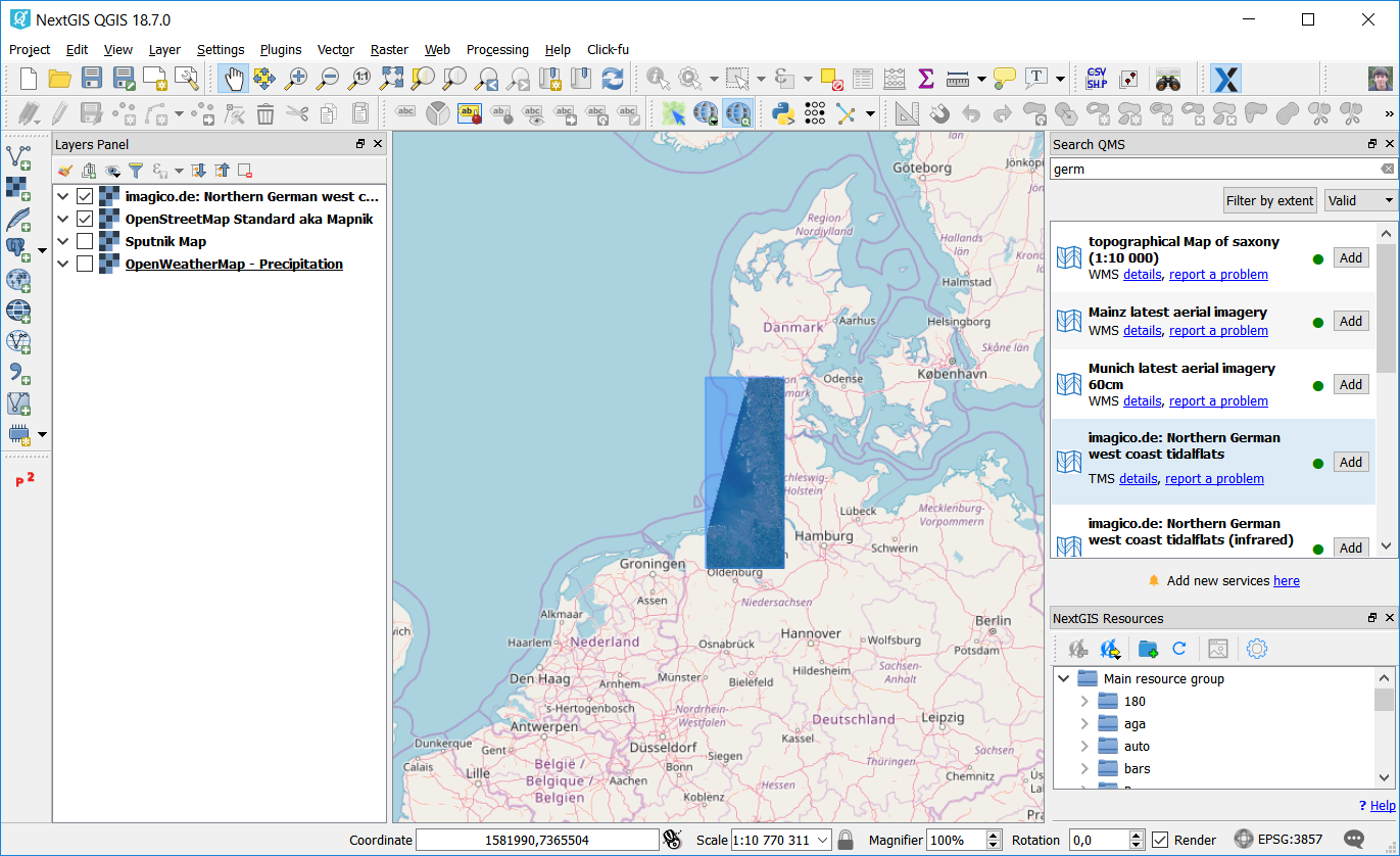
Geographic search lets you instantly see what’s available in qms.nextgis.com catalog for your area of interest. If you use QMS plugin for QGIS, you’ll notice new Filter by extent button in QMS search panel. When pressed, regular search field will get disabled and the extent of canvas will determine which services will be shown in the list of search results.
Note that global services are filtered out, so they wouldn’t crowd search results.
Hover the cursor over a service name to see its extent displayed on a map. Extents will also be displayed during regular (non-geographic) search.
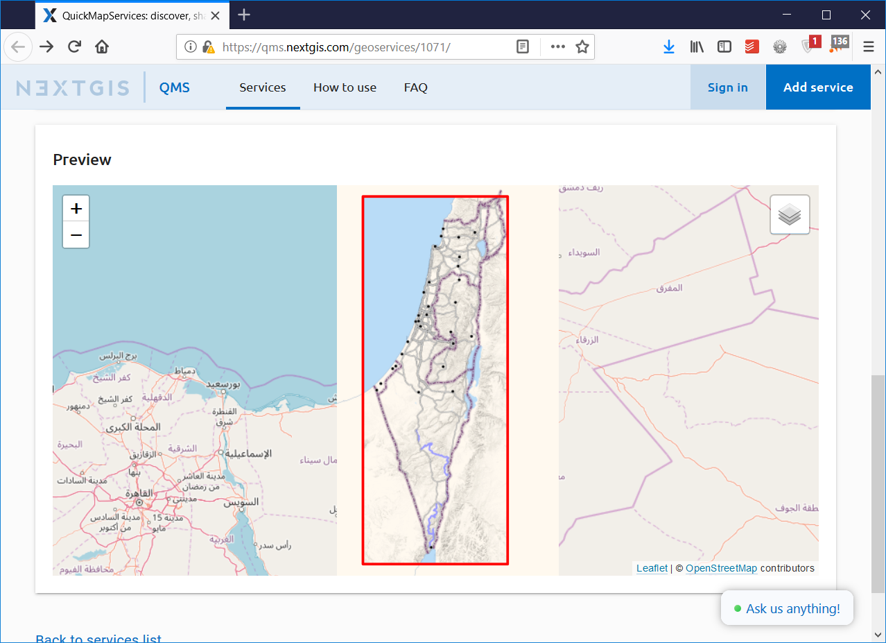
2. Better previews
Thanks to added boundaries, QMS web catalog now provides more informative service previews: the boundary is shown on the map, also the map is auto-zoomed to the service contents. Here is an example.
3. Better monitoring
Knowing where the actual service data are located, we can better monitor its correctness. This is especially important for TMS services.
You can see the status of the service (“works”, “problematic”, “failed”) both on its QMS web page and in QMS plugin for QGIS. Using QGIS plugin you can also filter out “misbehaving” services from search results.
Adding geographic boundary for a service
QuickMapServices catalog is updated by its contributors and boundaries is just another parameter of the service that needs to be added.
If you’re a service maintainer (you’ve already added a service), head out to qms.nextgis.com, login, click Edit on your service and upload a GeoJSON file that defines service boundary.
If you’re a new user and would like to add a new service, sign up at qms.nextgis.com, click “Add service” and upload a boundary along with other parameters.
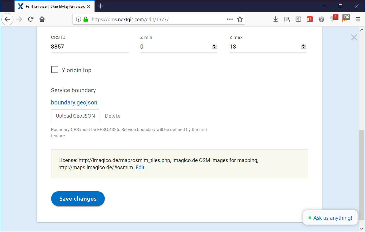
You can find more details about setting boundaries in QMS FAQ.