Web Map Application «Situational map»
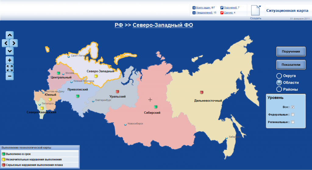
«Situational map» application is a web-based system for displaying administrative division of Russian Federation and showing summary data about progress of specific organizational activities.
The main element of the system is the three-level map of territorial division of the Russian Federation that contains information about:
- Federal districts of Russian Federations;
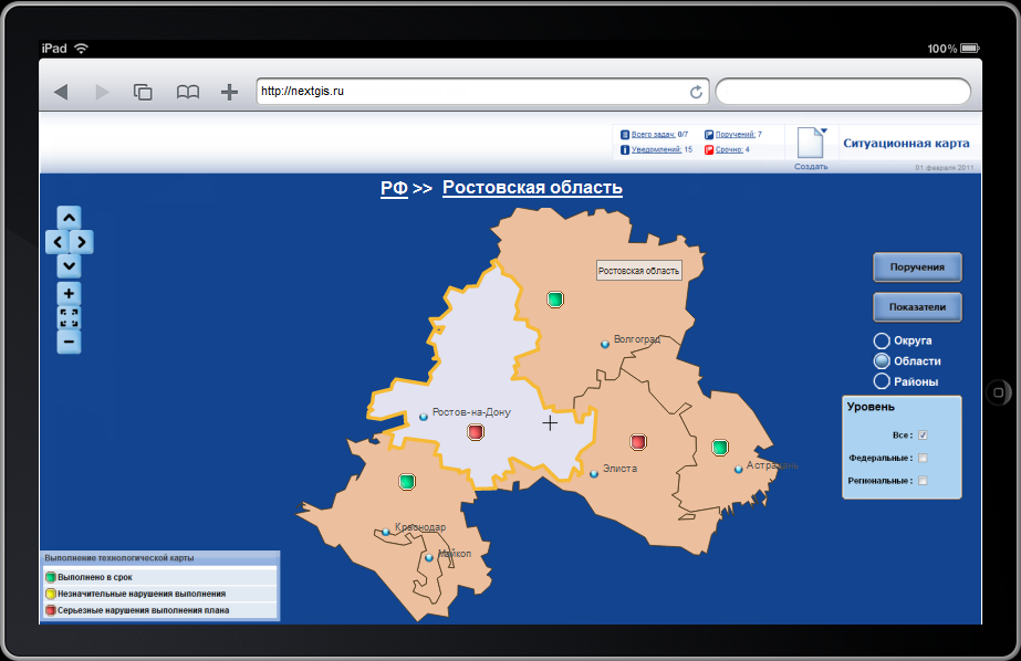
- administrative regions (oblasts, krays and republics);
- regional subdivisions (rayons);
Administrative centers of appropriate objects are displayed according to the chosen level.
Main features:
- Convenient navigation between levels, switching to the next level is carried out by click on the necessary object;
- Tooltips;
- Map gives possibility of placing of the database driven graphic elements-indicators connected to district, region and area;
- Switching between levels the query sends to application server for obtain the actual data about indicators;
The system is built on OpenLayers.
The system is optimized for iPad
For testing navigation part of application go: https://nextgis.ru/demo/korus/


