PADB
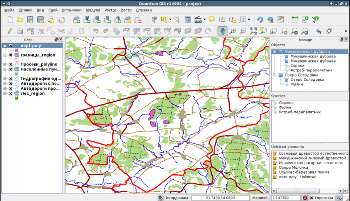
PADB — is a QGIS plugin that provides easy to use interface hierarchical to manage information on protected areas and species. PADB stands for “Protected Areas DataBase”. Provided interface is very easy to understand and can be used to interactively collect vector features to create objects (in this case Protected areas, but this could be any cadastral entities)
Main features:
- call objects list and quickly find them on the map;
- interactively connect records from attribute database and spatial objects;
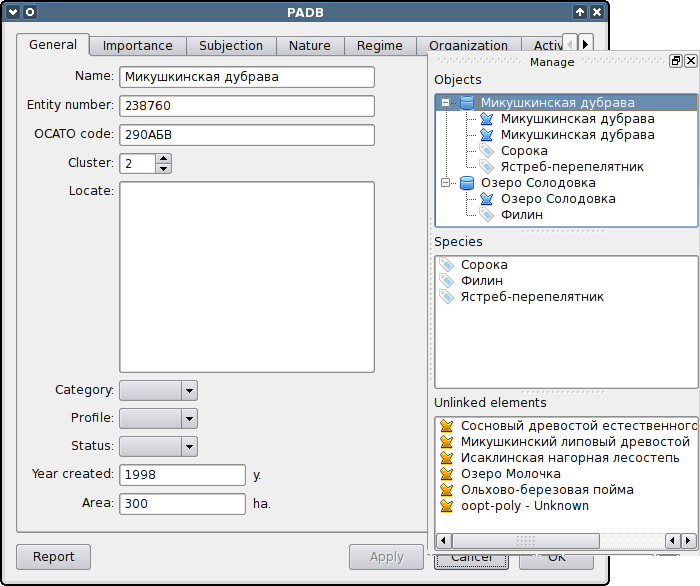
- open cadastral form on protected area for displaying and editing information about object;
- register additional documents (for example legislation, photos etc.) in the database and quickly open them on request;
- report generation;
- copy information from database to the attribute table of the protected areas vector layer;
- create and edit list of species of animals and plants that live on the protected areas;
- open a form for viewing information about particular species.
You can download the module and detailed manual on the official page.


