NextGIS
  • About
    Info
    Company info
    Address, Legal Information
    Blog
    Blog
    News on features and platform updates
    Partnership
    Partnership
    Our partners and collaboration
  • Products
    Web GIS
    Cloud GIS
    Create a Web GIS at nextgis.com
    Spatial data sets
    Data
    Order geospatial data for your projects
    Software
    Software
    All components: programs and apps
    Map Gallery
    Gallery
    Map styles and design
    Docs
    Documentation
    User guides for all components
    Videos
    Videos
    Tutorials and guides on YouTube
    Support
    Support
    Professional and timely assistance
  • Pricing
    Subscriptions
    Cloud
    Subscription plans and pricing
    On-premise
    On-premise
    Server products and distributions
  • Community
    Events
    Events
    Webinars, meetups, courses, and forums
    Forum
    Forum
    Discussions on our software
    Discord
    Discord
    News and open discussions
    Telegram
    Telegram
    News and open discussions
  • Contacts
Sign in
  • About
    Info
    Company info
    Address, Legal Information
    Blog
    Blog
    News on features and platform updates
    Partnership
    Partnership
    Our partners and collaboration
  • Products
    Web GIS
    Cloud GIS
    Create a Web GIS at nextgis.com
    Spatial data sets
    Data
    Order geospatial data for your projects
    Software
    Software
    All components: programs and apps
    Map Gallery
    Gallery
    Map styles and design
    Docs
    Documentation
    User guides for all components
    Videos
    Videos
    Tutorials and guides on YouTube
    Support
    Support
    Professional and timely assistance
  • Pricing
    Subscriptions
    Cloud
    Subscription plans and pricing
    On-premise
    On-premise
    Server products and distributions
  • Projects
  • Community
    Events
    Events
    Webinars, meetups, courses, and forums
    Forum
    Forum
    Discussions on our software
    Discord
    Discord
    News and open discussions
    Telegram
    Telegram
    News and open discussions
  • Contacts

Convey the Beauty of Your Maps with NextGIS!

Get inspired by our gallery of cartographic styles and explore them through interactive maps powered by NextGIS

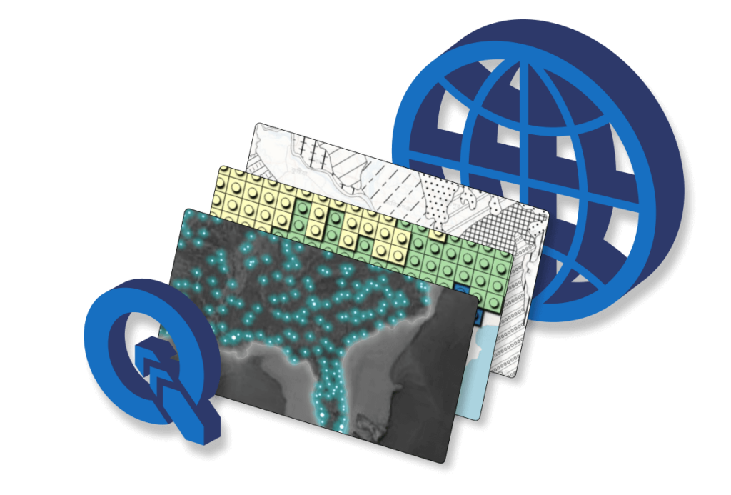
A geographic map is not just about data; it’s about style. Publish your maps from QGIS to NextGIS Web while preserving their full design – transform your project into an interactive map in just a few clicks.

Click on a plate below to see a styled interactive map.

Publish maps online with QGIS styles fully transferred!

Firefly Map

Points of varying sizes represent the distribution of objects across the area.

Lego

A terrain map design in the style of the world’s most recognizable toy.

Gradient Raster Colors

Example of styling with raster gradient fill.

Monochrome Patterns

Two colors and different types of hatching for various land types.

Cartoony Style

Cartoon-style illustration technique for creating stylized maps.

Raster Fill

Raster images can be embedded in styles and used for filling.

Shadow Accentuation

Highlighting a region by shading its surrounding area.

SVG Markers

Use vector markers as icons or fills.

Illuminated Contours

Tanaka Contours – a method for representing terrain.

Category-colored Polygons

A classic way to represent categorical data.

Value range-colored Polygons

A method for representing statistical data.

Vintage Hachure Map

One of the first methods of representing terrain, reproduced in GIS.

Wurman Dots

A visualization of geospatial data that involves creating clusters based on a regular grid.
info@nextgis.com
© NextGIS 2011 – 2025
  • Terms of Service
  • Privacy Policy
  • Site map
  • Contacts