We’ve worked on integration of our server GIS NextGIS Web and SCADA systems.
SCADA is a set of software products that deals which works with realtime aquisition, processing and storage of information about remote systems that are being monitored or managed.
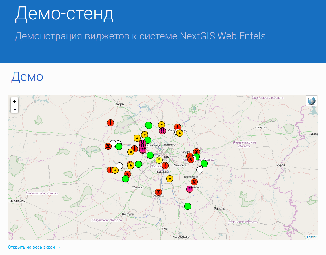
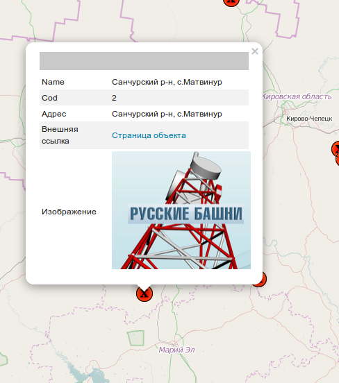
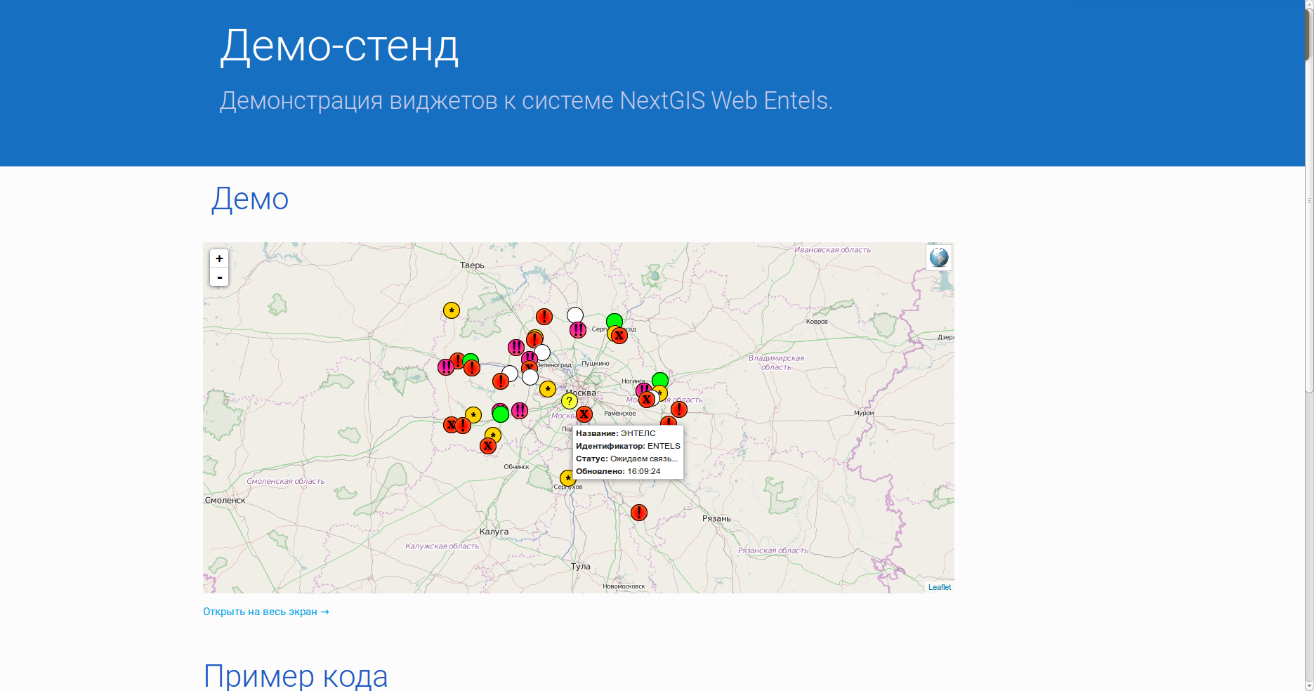
To integrate GIS and SCADA we’ve developed a special widget that shows SCADA data on map served by NextGIS Web. Geodata are stored and managed by NextGIS Web, it is also implements a special service that talks to SCADA and receives objects statuses. The service is using web-sockets so the map doesn’t need to be refreshed to update statuses. Status information is shown when one hovers over the object. More information is provided on click.
This development was made together with Entels Engineering Center.
If you need help making your non-yet-spatial system geospatial – let us know, we’ll be happy to help.