This year marks a special milestone for us. NextGIS is turning 15 years old!
What started in 2011 as a small team of geospatial enthusiasts has grown into a global ecosystem of open source GIS software, geospatial data services, and a community of users, partners, and contributors around the world.
Over these 15 years, we have stayed focused on a simple idea: making professional geospatial technology more accessible, transparent, and sustainable.
Along the way, we have:
Today, NextGIS helps teams store, manage, publish and collect spatial data using open source technologies available both in the cloud and on their own servers. Our mission remains the same as it was on day one: to provide reliable GIS solutions while investing back into the open source geospatial community.
To celebrate our 15th anniversary, we would like to thank everyone who has supported us over the years.
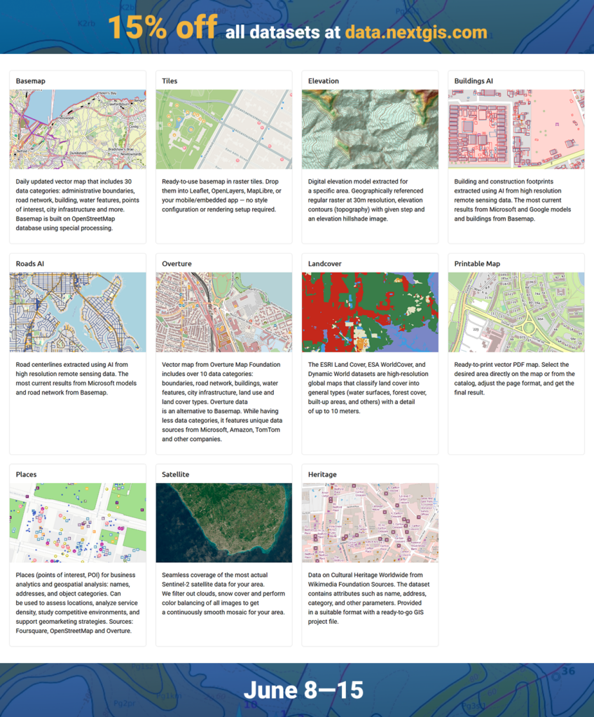
For a limited time, we’re offering a 15% discount on all orders at data.nextgis.com.
Whether you need basemaps, elevation models, building footprints, or other GIS-ready datasets, now is a great time to stock up on data for your next project.
The offer is valid until June 15.
The geospatial industry has changed dramatically since 2011. During these years, we’ve seen the rise of cloud GIS, mobile data collection, open data initiatives, and global open source collaboration.
We’re excited to continue building tools that help organizations manage spatial data with confidence, collaborate more effectively, and access high-quality geospatial data anywhere on Earth.
Thank you to our customers, partners, contributors, and community members for being part of this journey.
Here’s to the next 15 years of open geospatial innovation!
The NextGIS Team


