The NextGIS team participated in Apps4Russia, a contest that “promotes standards for working with open data, and contributes to the creation and establishment of social, managerial, and business projects…It has served as a platform for the exchange of valuable ideas and meaningful dialogue between talented Russian developers, leading experts in the field of WEB-development, and investors.”
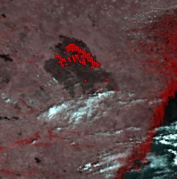
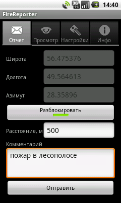
As participants, NextGIS developed a system for collecting and viewing information about wildland fire hotspots. The proposed system further develops the idea of public monitoring, and aims to attract people to collect data. Our system is completely open and consists of two main parts:
Database of remote sensing monitoring is used to collect information from publicly available sources (in case of fires, these are data from TERRA and AQUA satellites).
 The mobile application is used to receive independent information about fires that can be further used, for example, for validation.
 With minimal modifications this system can be used for other tasks. More information can be found in GIS-Lab blog.