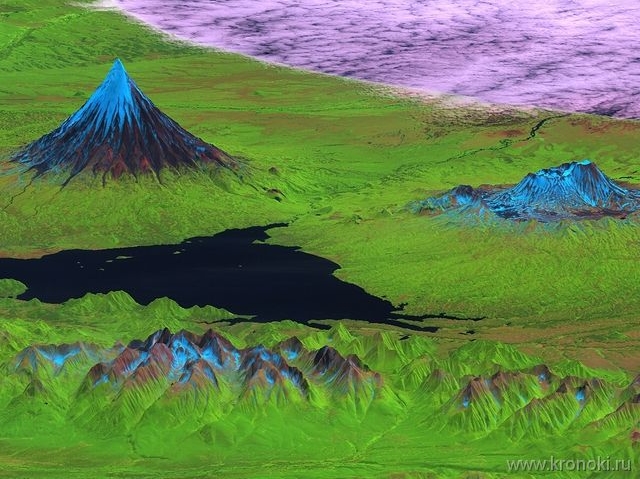
Specialist of Kronotsky Nature Reserve has just finished GIS internship at NextGIS.
In accordance with the variety of Nature Reserve’s GIS needs, the goal of the internship was to cover wide spectrum of different GIS technologies, such as map creation, modelling, analysis, programming for the web and spatial databases. There is a whole range of plans to implement what was learned at the reserve.
Brief internship program (full):
- ArcGIS introduction
- ArcGIS functionality
- ArcGIS workflow and analysis
- 3D modelling
- Opensource GIS (on example of QGIS)
- Web-mapping basics
- Spatial databases basics
- Working with remote sensing data
We hope that gained knowledge will help to satisfy Nature Reserve’s needs in up-to-date maps and Reserve’s work for conservation, science and environmental education programs.
More on Reserve’s website (in Russian)

