A new version of NextGIS Web is released! Check out the latest improvements.
Adding features on the map is now easier and more intuitive. The new process more closely resembles QGIS: the attributes dialog appears automatically after you add a geometry on the map.
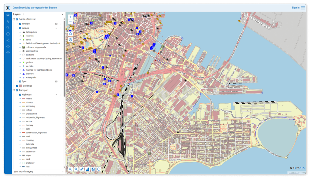
Web Maps now open faster thanks to the on-demand legend loading and pre-calculated cached scales for styles.
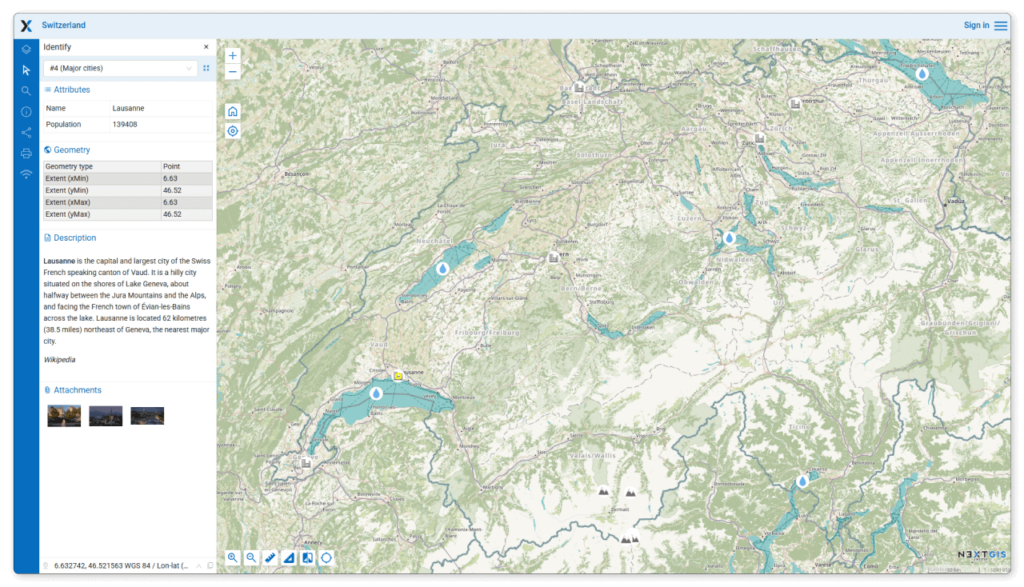
Feature information is displayed in the Identification panel instead of a multi-tab pop-up. Now you can find everything in one place: attribute values, description, attachments, etc.
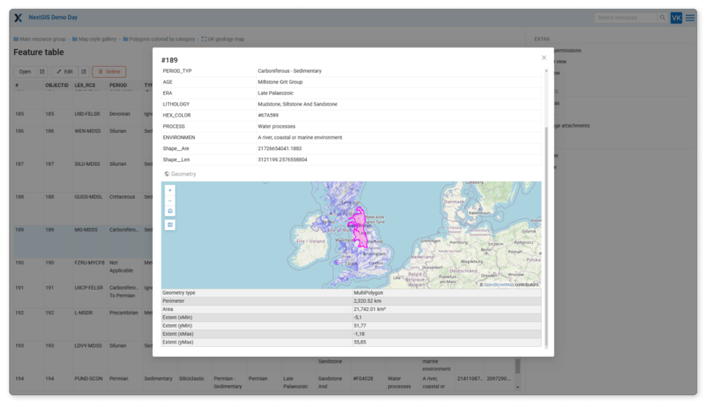
Open a feature display from the feature table page. The display window includes attribute values, area, perimeter and coordinates, as well as a geometry preview on a map.
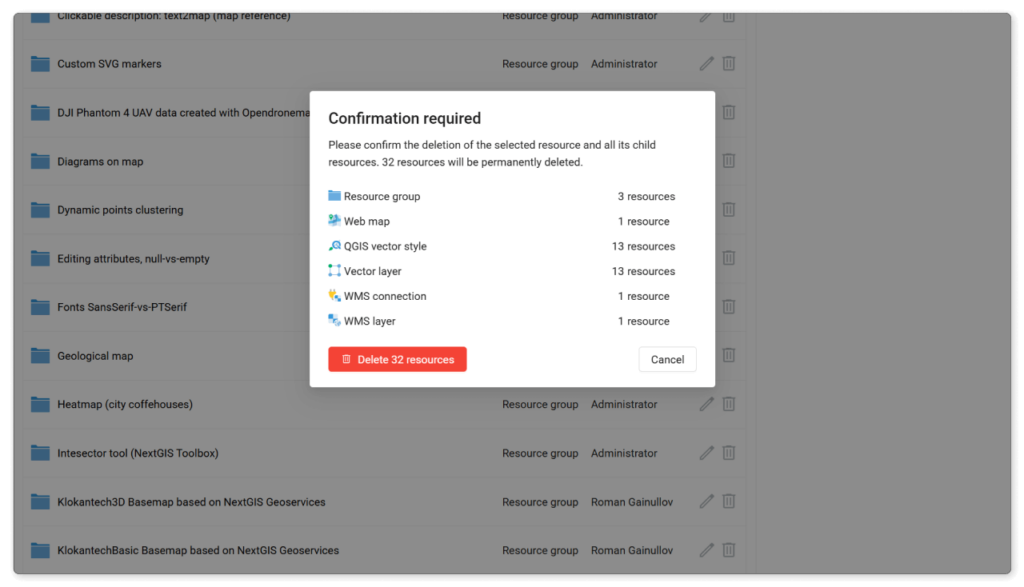
A more informative dialog helps you avoid losing important data by mistake. If you delete a resource group, you’ll see how many subresources of each type will be deleted with it. Also works for deleting multiple selected resources.
We finalized a big upgrade of the NextGIS Web code. Now all Web Map and resource editing functionality is React-based.
Supported browsers: Chrome 118+, Safari 17+, Edge 116+ and Firefox 115+.
An upgrade is ready for all on-premise users. Update your GIS and discover new features! For cloud GIS users this functionality is already available.


