We’ve released a new version of NextGIS Web – 4.9.0. Our NextGIS Web customers have seen these enhancements released one by one on the cloud platform. If you host your Web GIS on your own server, you can now update it and take advantage of the new functionality.
We’ve gathered all the updates from this release in one place. Read through to the end for details about the upcoming online session where our developers will discuss the new version and answer questions.
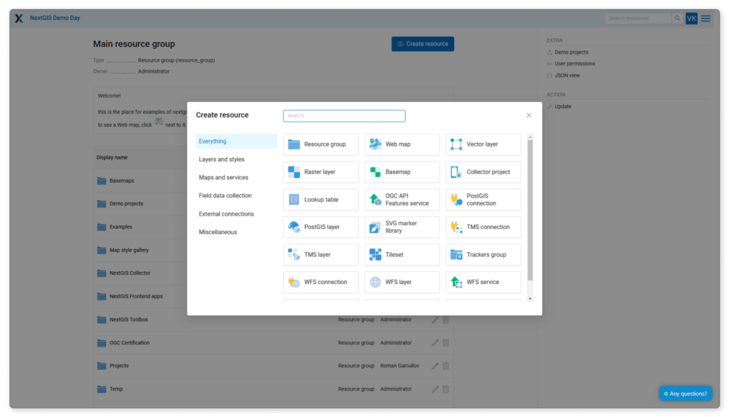
The side panel listing the resources you can create has been transformed into a separate window. Instead of the panel, you will now see a large blue “Create resource” button.
In the new resource creation window, you will easily find the resource you need. The list is organized based on user experience to save you time and effort. The search function is also available if needed.

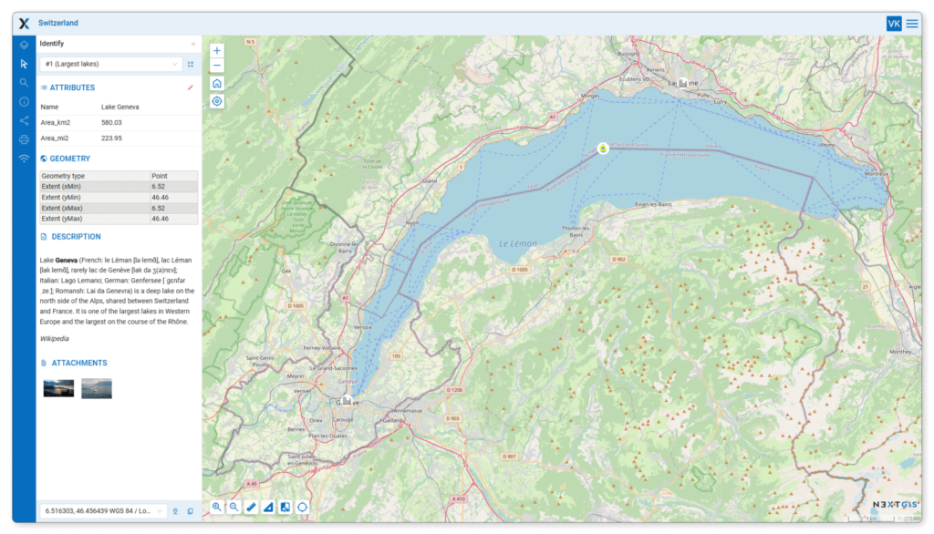
When you select an object on your Web Map, a new panel on the left will display the object’s information. User feedback suggests that this is more convenient than displaying a popup window that covers part of the map.
The new identification panel can be enabled under the “Web Map” tab in the Web GIS control panel. Eventually, this panel will become the default way of displaying object information. For now, the feature remains experimental as we continue to refine it.

You can now set custom fonts for your maps. This is useful for those migrating to NextGIS from other systems and wishing to maintain consistent fonts. It is also beneficial for geologists and others whose maps need to adhere to specific standards.
Being able to add any font opens up many possibilities for customizing and designing your maps. See the product documentation for font management options.
You can now assign a title to your Web Map without renaming the displayed resources. When the Web Map is opened, the title will appear in the map header. You can set the title on the Web Map Settings screen.

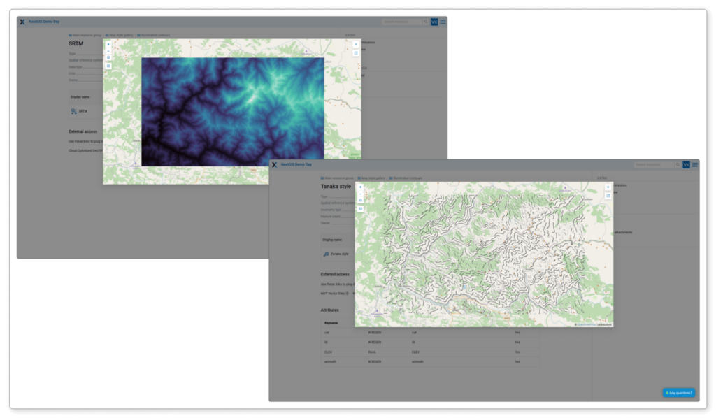
You can now preview basemaps, layers, and styles without navigating to a separate page. Previews are also available when creating and editing basemaps in Web GIS using QuickMapServices.

Initially, NextGIS Web only worked as a WFS server, providing data to external systems. Now, Web GIS can also accept and display data from external systems, functioning as a WFS client.
See this article for detailed information about this new integration, including step-by-step instructions and examples.
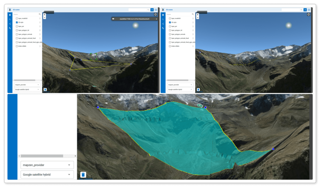
In NextGIS Web 3D, you can perform linear and area measurements in three ways:

Still have questions? Ask them in our forum.