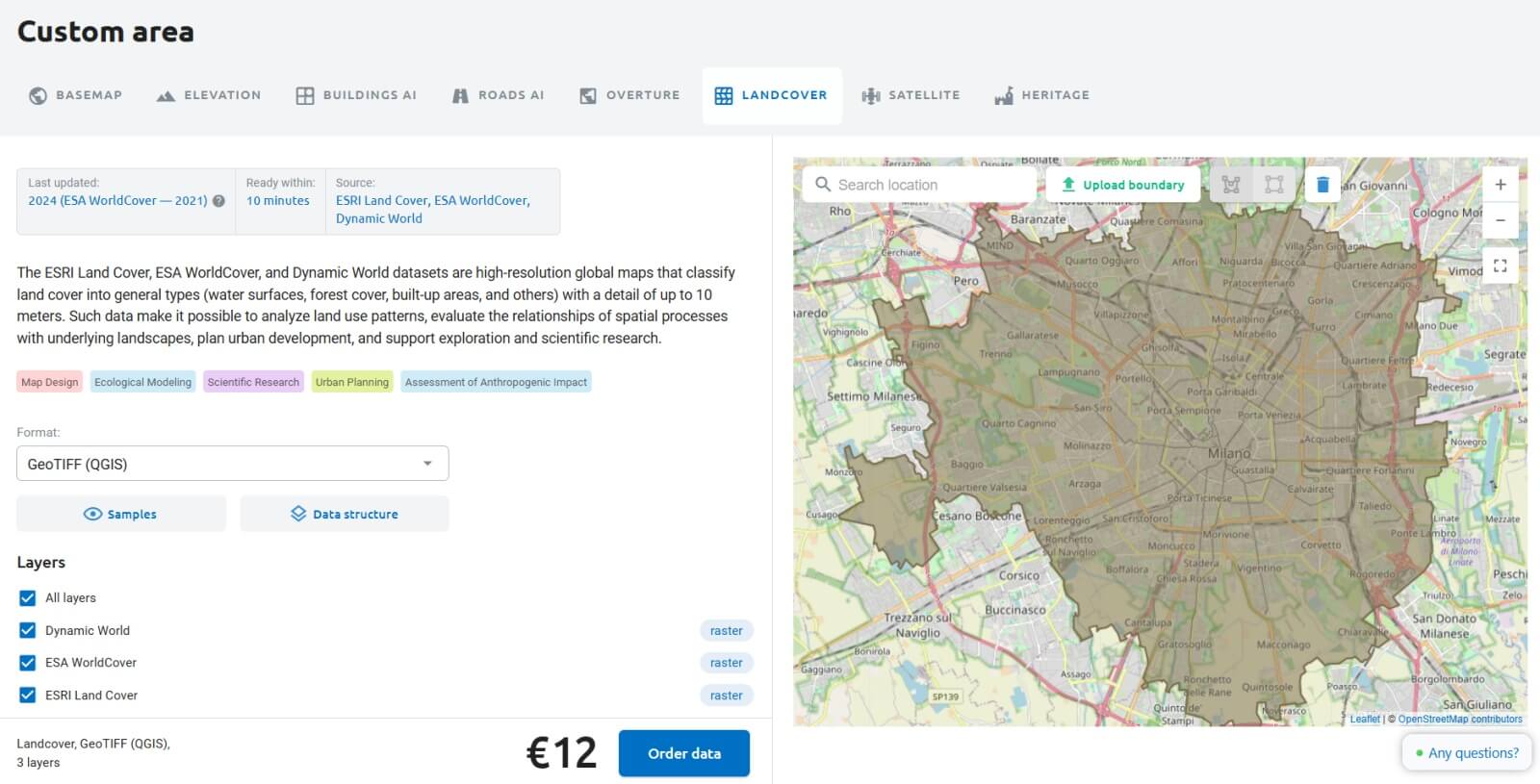
Landcover is now available on NextGIS Data!
The new product includes three global data sources on Earth surface types, with a resolution of 10 meters.
In essence, these datasets are spatial representations that detail the composition of the Earth’s surface, identifying elements such as forests, agricultural areas, urban infrastructure, and hydrological features. These datasets are broadly categorized under the terms land cover (the physical material on the surface) and land use (the function or purpose of the area).
These datasets are essential for assessing the current state of territories and are integral to environmental process modeling and territorial management. Here are some examples of their applications:
From a technical perspective, landcover data are represented as raster data in GeoTIFF format with a cell size of approximately 10×10 meters. Each cell is attributed a numeric classification corresponding to a surface type – for instance, 1 for aquatic features, 2 for forested areas, and so forth.
NextGIS Data provides access to information from three authoritative sources: ESRI Land Cover, ESA WorldCover, and Dynamic World. These datasets employ different input data, processing methodologies, and classification systems for land cover types.
As a result, each dataset represents territories in distinct ways. To ensure completeness, NextGIS offers all three datasets together, rather than preselecting one for you. This approach allows you to choose the most suitable option based on your specific needs.
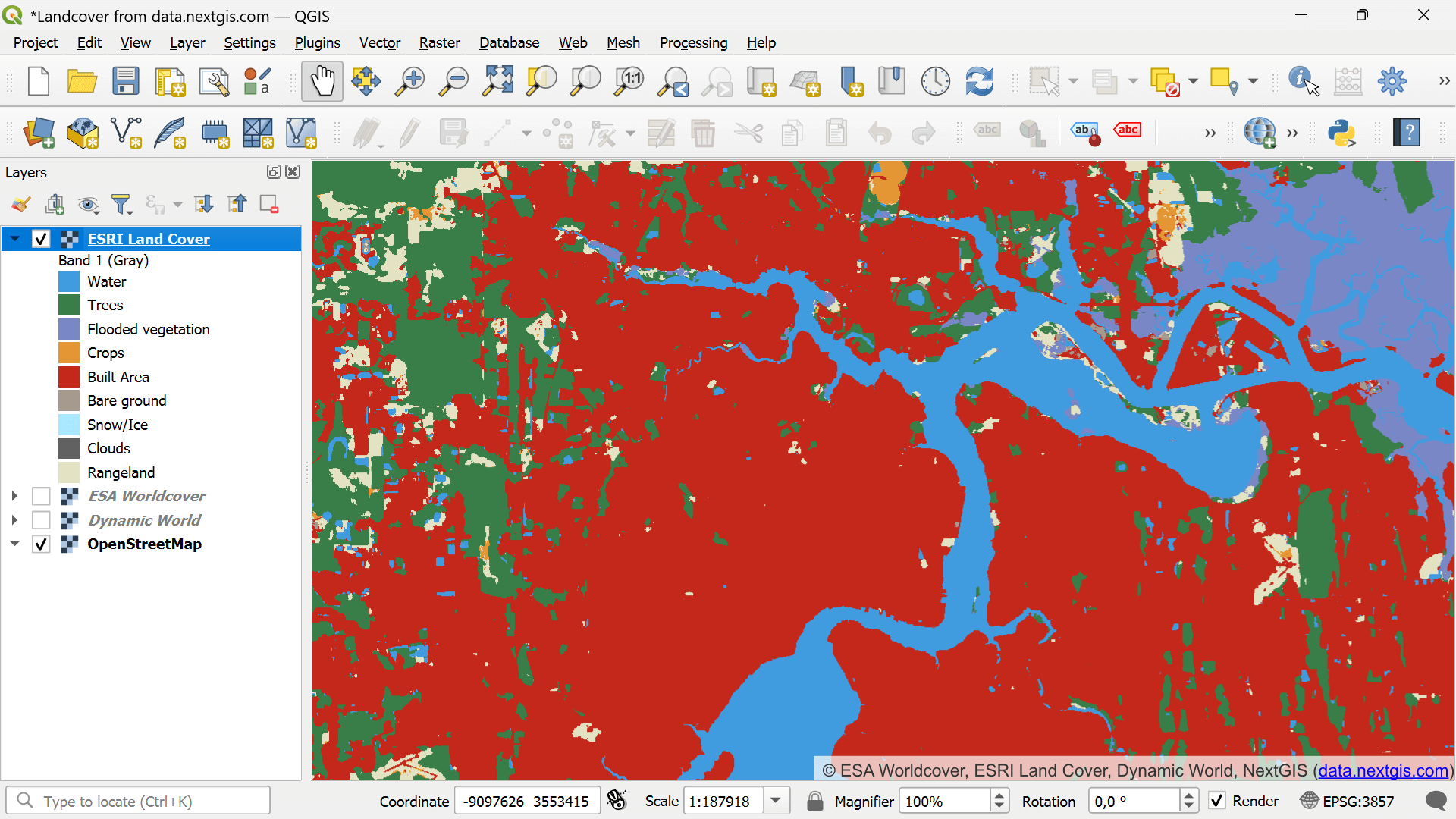
ESRI Land Cover
The data is entirely based on Sentinel-2 satellite imagery, processed using neural networks trained on billions of reference land samples labeled by humans.
A distinctive feature of the ESRI Land Cover dataset is its unique spatial filtering method, which is particularly evident in urban areas. Cities are depicted entirely as pixels of the corresponding urban category, without distinguishing vegetation or other surface types within individual pixels. While this reduces the level of detail, it also minimizes noise and simplifies analysis.
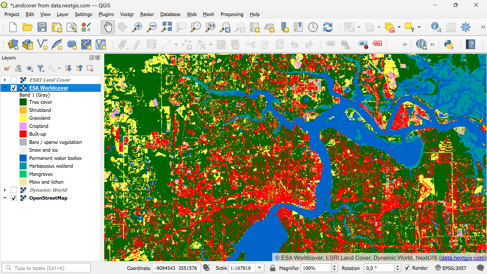
ESA WorldCover
The dataset from the European Space Agency is derived from the combined processing of satellite data from Sentinel-2 and Sentinel-1, resulting in a comprehensive product that integrates radar and optical Earth observation imagery.
ESA WorldCover provides a more detailed representation of territories, not only by increasing the number of classified types but also by eliminating additional spatial filtering. This approach particularly enables the identification of vegetated areas within urban environments.
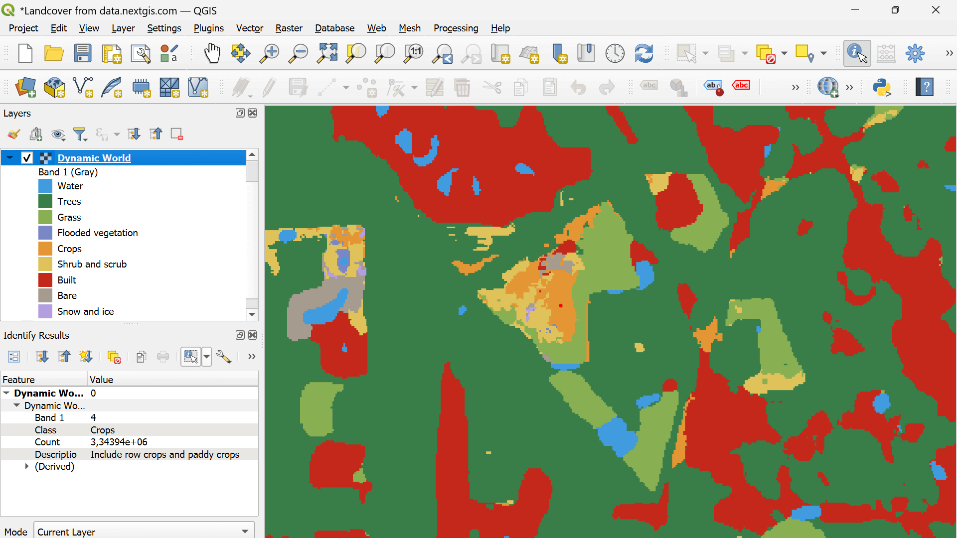
Dynamic World
Dynamic World provides an algorithm – not a fixed dataset – that identifies landcover types from Sentinel-2 satellite data. It can generate snapshots for any period with cloud-free imagery.
NextGIS has used it to produce global coverage for the past year, available via NextGIS Data.
Each cell shows the most frequently observed surface type over the year. For instance, if snow persisted most of the year, the cell is labeled as snow. This method complements ESRI and ESA datasets, offering deeper insight into land dynamics.