We are happy to present version 3 of our mobile SDK!
Gradually we’ll be moving all our mobile apps to this SDK. Among important new features:
- Reading formats supported by GDAL/OGR. No more unneeded conversion, mobile apps now read GeoTIFF and Shapefile directly.
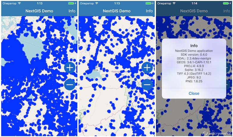
- Working with large datasets as fast as on desktop. In our test apps we deal with hundreds of thousands features.
- Fast and energy efficient GPU rendering. Rendering is tile-based, vector layer can have simplified geometries for set scales to speed up large datasets visualization.
- Advanced styling – fill and border color, but also symbols and markers for points.
- OAuth2 for data access support, network requests are dealt with by using internal curl independent from OS limitations.
- Support for feature attachments (images, documents, video and audio).
- Editing vector data with changes logging.
- Support for reprojection to any CRS supported by Proj4/GEOS/GDAL.
- New memory layers are convenient for working with data requested from outside (geocoders etc.).
- Base storage format is now GeoPackage.
Today we’re releasing our SDK for iOS, SDK includes:
Read more about our new SDK in documentation.
You can find demo projects built on this SDK here.

