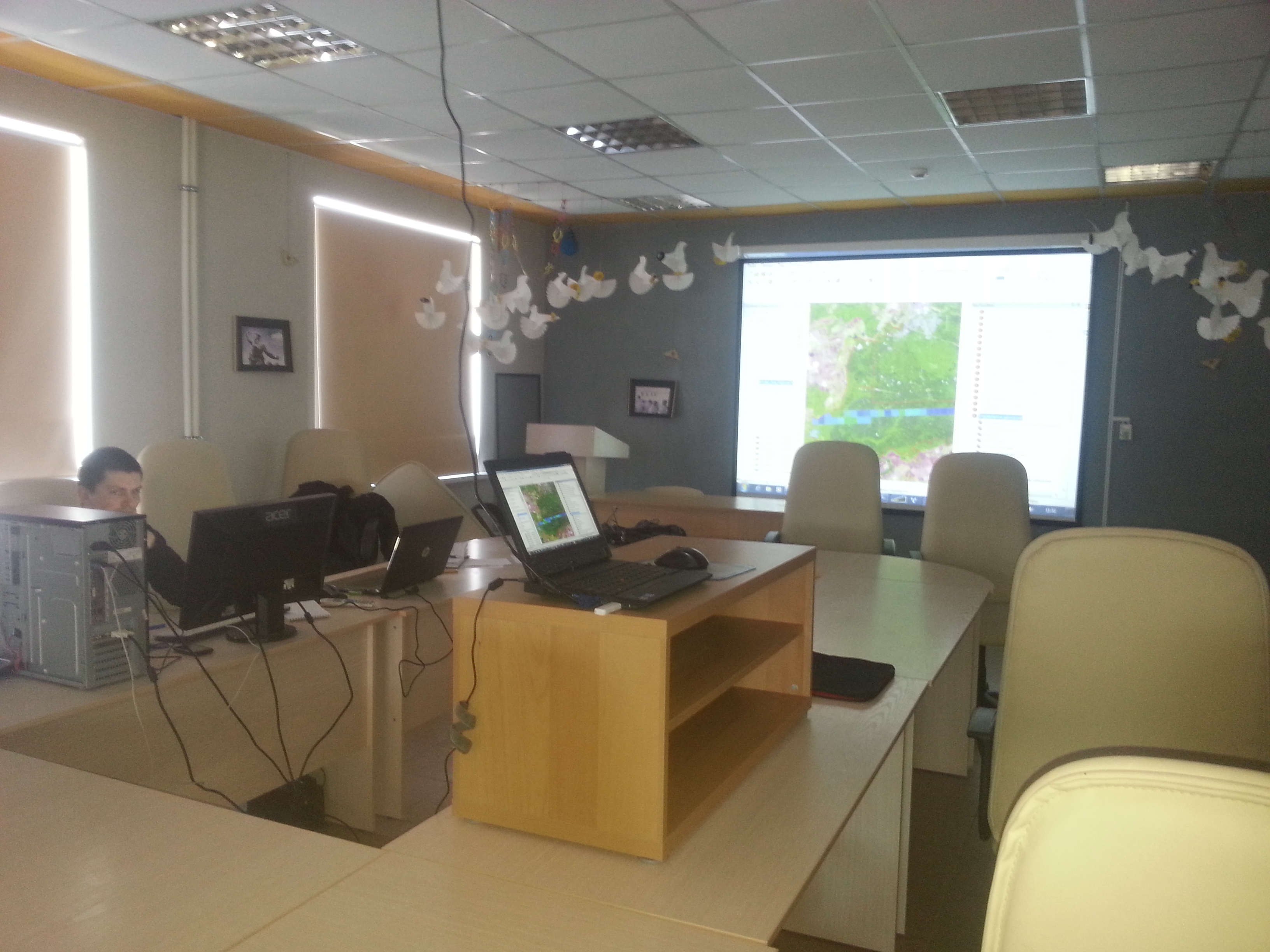
NextGIS has conducted training in Mordovsky Nature Reserve covering a wide range of questions on GIS and remote sensing data analysis, such as:
1. Locating, obtaining and preprocessing openly available remote sensing data
2. Basics of GIS
3. Creating own data and editing
4. Linking geodata and attributes tables from different sources
5. Spatial interpretation and analysis of data collected at the reserve, preparing tabular data for easy linking and visualization with GIS.
6. Automatic, semi-automatic classification and manual interpretation of remote sensing data.
7. Finding change on multi-temporal images using DTClassifier
8. 3D modelling and surfaces
…. and many more questions dealing with use of geospatial technology in activities of protected areas.
More of training opportunities from NextGIS.