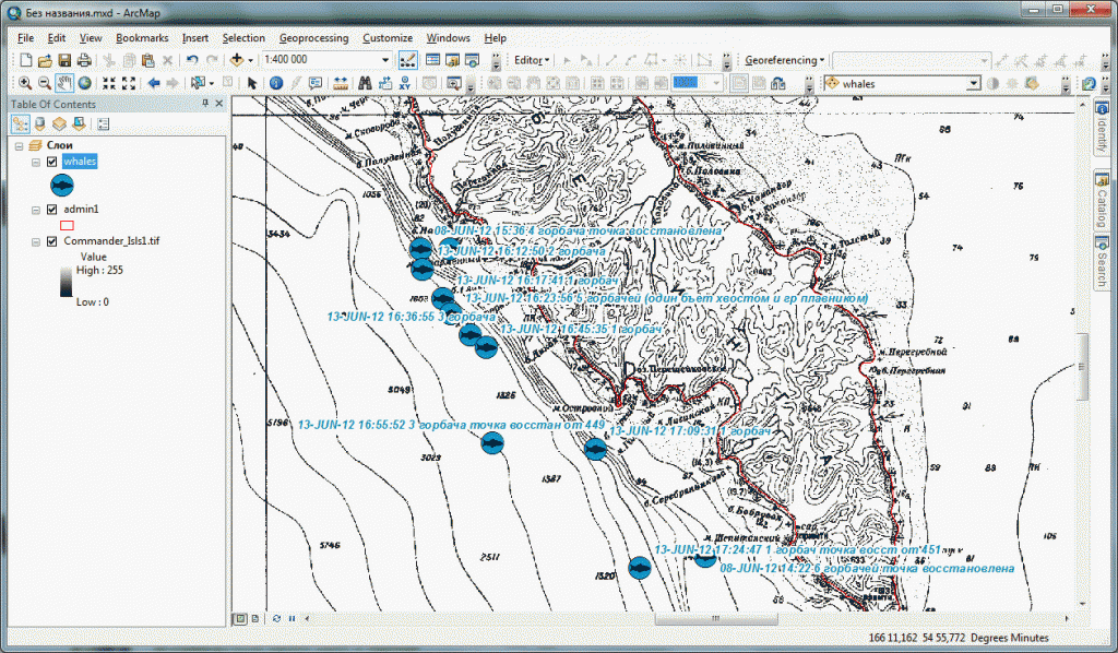
Two specialists from Commander Islands Nature Reserve worked as interns with NextGIS team.
The goal of the internship was to get to know geospatial technology and practice ArcGIS and QGIS skills.
Internship program included (similar program):
- General overview of GIS tools and technology
- Introduction to ArcGIS
- Application of ArcGIS
- Working with remote sensing data
- Building and analysing 2.5D models
- Introduction to OpenSource GIS
We hope that aquired knowledge will the reserve in its nature conservation, research and education work.

